-40%
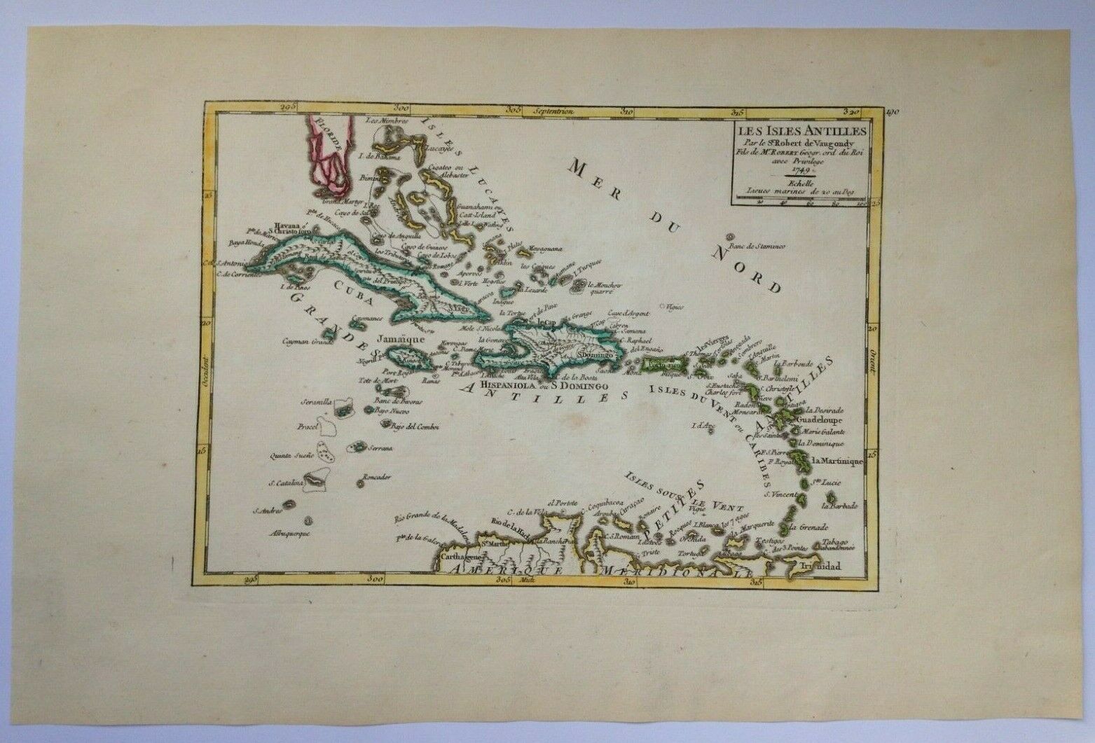
XVIIIe SIECLE CARIBBEAN 1749 ROBERT DE VAUGONDY ANTIQUE ENGRAVED MAP
$ 158.4
- Description
- Size Guide
Description
Title of the map:"LES ISLES ANTILLES, Par le Sr Robert de Vaugondy Fils de Mr ROBERT Geog ordin du Roi Avec Privilège 1749"
D
etailed antique copper engraved map of CARRIBEAN by Didier Robert de Vaugondy (1723-1786).
Gilles ROBERT DE VAUGONDY, also known as Robert de Vaugondy or Sr Robert (1688-1766), was a French geograph and cartographer . Grandson of Nicolas Sanson, famous geograph of the 17th Century, he became Geographe of the King Louis XV.
His son, Didier Robert de Vaugondy, succeded to him, and became too the Geographer of the King.
Size with margins :
34,7 x 23,2 cm / 13,3 x 9 inches
Condition :
good condition, antique colors, large margins.
Edition :
Paris, dated 1749, XVIIIe Century
If you buy more than one item, you have to pay only one shipping cost.
All shipments are insured.
We send maps by DHL.
WE DON'T SELL LASER AND COPIES MAPS, ALL WE SELL IS ORIGINAL AND ANTIQUE
Due to the age an type of paper, some imperfections are to be expected. Please examine the images provided carefully, and if you have any questions please ask and we will be happy to help you


