-40%
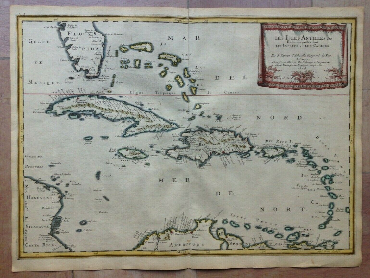
WEST INDIES 1656 NICOLAS SANSON LARGE ANTIQUE MAP IN COLORS 17TH CENTURY
$ 580.79
- Description
- Size Guide
Description
Title of the map:"LES ISLES ANTILLES &c. Entre lesquelles sont LES LUCAYES, et LES CARIBES, Par N. SANSON d'Abbeville Geogr ord du Roy A PARIS Chez Pierre Mariette, Rue S. Iacques a l'Esperance, Avecq Privilege du Roy, pour vingt Ans 1656
".
Nice large antique copper engraved map of Carribean, by Nicolas SANSON D'ABBEVILLE (1600-1667).
The map depicts Carribean, and shows a part of South America and a part of Florida.
With a nice decorative cartouche.
The map is engraved by I. Somer.
On back, handwritten text in old French, written at the same period of the map, describing the map.
Active from 1627, Sanson published its first major map, the Postes de France, in 1632, with the publisher Melchior Tavernier. After having published a few general atlases alone, he worked with the print editor Pierre Mariette.
Edition:
Paris, chez Pierre Mariette, 1654, XVIIe Century
.
Size with margins :
57 x 42,5 cm / 22,4 x 16,5 inches
Condition :
very good condition, handed colored
.
If you buy more than one item, you will pay only one shipping cost.
All shipments are insured. We send maps by DHL.
WE DON'T SELL LASER AND COPIES MAPS, ALL WE SELL IS ORIGINAL AND ANTIQUE
Due to the age an type of paper, some imperfections are to be expected. Please examine the images provided carefully, and if you have any questions please ask and we will be happy to help you


