-40%
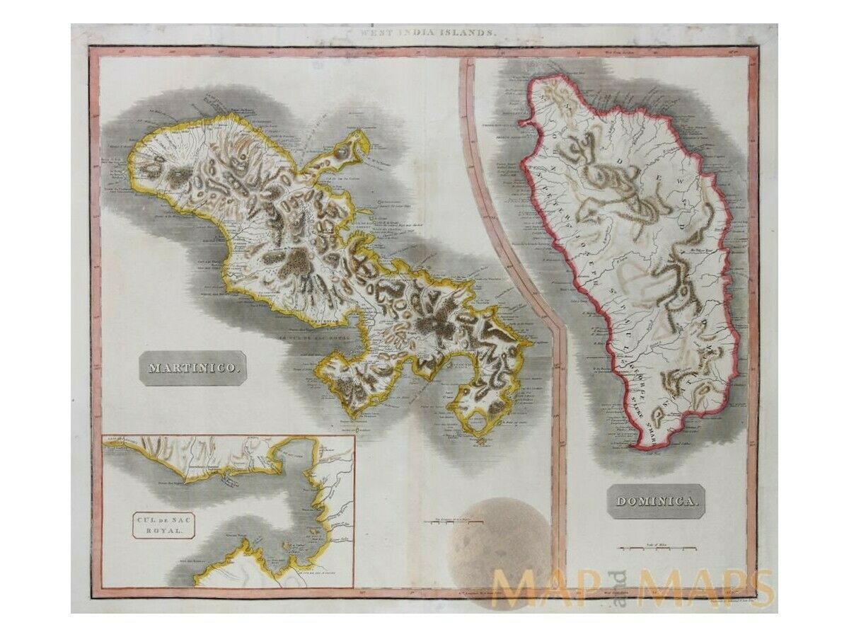
West India Islands Martinico Dominio Large map Thomson 1817 | Caribbean Maps
$ 139.91
- Description
- Size Guide
Description
West India Islands Martinico Dominio Large map Thomson1817Title: West India Islands – Martinico – Dominico – Cul de Sac Royal.
Description: West India Islands Antique Old map of Martinico & Dominico with a inlay map of the bay Cul de Sac Royal.( Fort-de-France bay)
John Thomson (1777-c1840) was a Scottish cartographer from Edinburgh, celebrated for his 1817 New General Atlas, published by himself in Edinburgh, John Cumming in Dublin, and Baldwin, Cradock, and Joy in London.
Cartographer: Thomson, John.
Origin: New general atlas, 1817
Authentic Antique Old Maps & Prints from the past
See our historic maps of the Centuries of the World continents.
16th -17th -18th-19th Century maps & atlases & prints.
We sell guaranteed Absolutely Original authentic Maps and Prints.
We ship our antique items across the world.
Sheet app.: 72 x 53.5 cm. 28 x 21 inches.
Image app.: 59 x 49.5 cm. 23.25 x 19.5 inches.
Condition: View very good. Restored map with edges chipping. Large side borders, Centre fold as published. Nice map to frame.
MAP
andMAPs.
For the complete Map and Print collection see our online site.
Early Cartography of the World.
Always real antique maps - Always original - Never reproductions.


