-40%
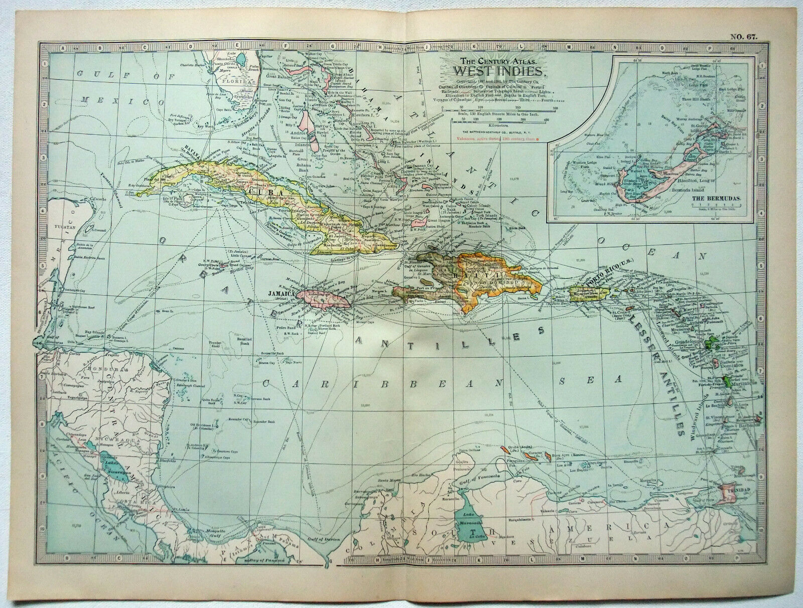
The West Indies - Original 1902 Map by The Century Co. Antique
$ 10.56
- Description
- Size Guide
Description
The West Indies - Original 1902 Map by The Century Company. The detail shows countries, colonies, cities, major towns, mountains, rivers, railroads, telegraph cables and steamship routes throughout the region. Plate 67 from the 1897/1902 Century Atlas. Outer measurements are approximately 11.62" by 16" with a blank reverse. Will look great matted and framed.Free Shipping to anywhere in the US.
Your order will always ship within ONE BUSINESS DAY, well packaged in a sturdy waterproof mailer and sent with a delivery confirmation.
I ship worldwide.


