-40%
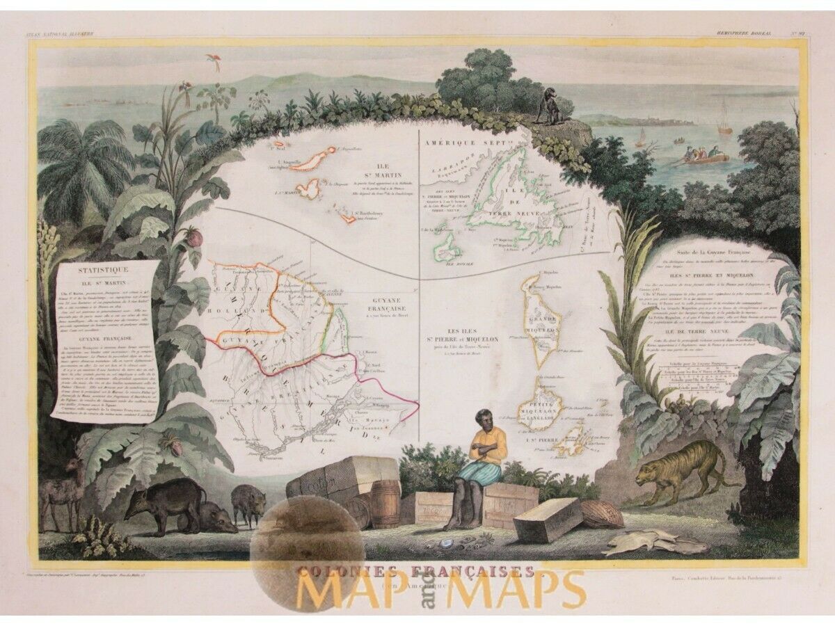
St. Martin Island Island Newfoundland by Levasseur 1856
$ 97.68
- Description
- Size Guide
Description
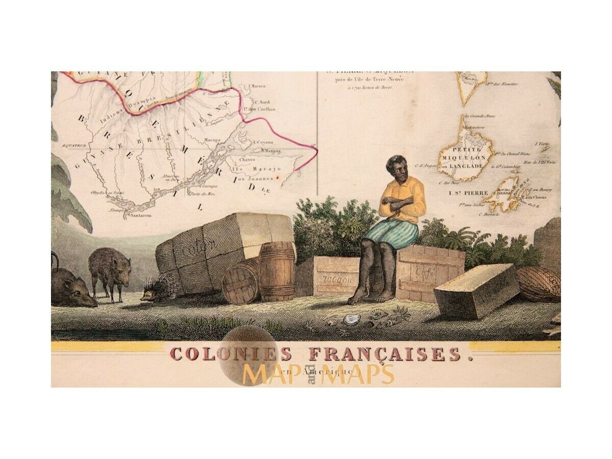
St. Martin Island Island Newfoundland by Levasseur 1856Title: Colonies Francaises.
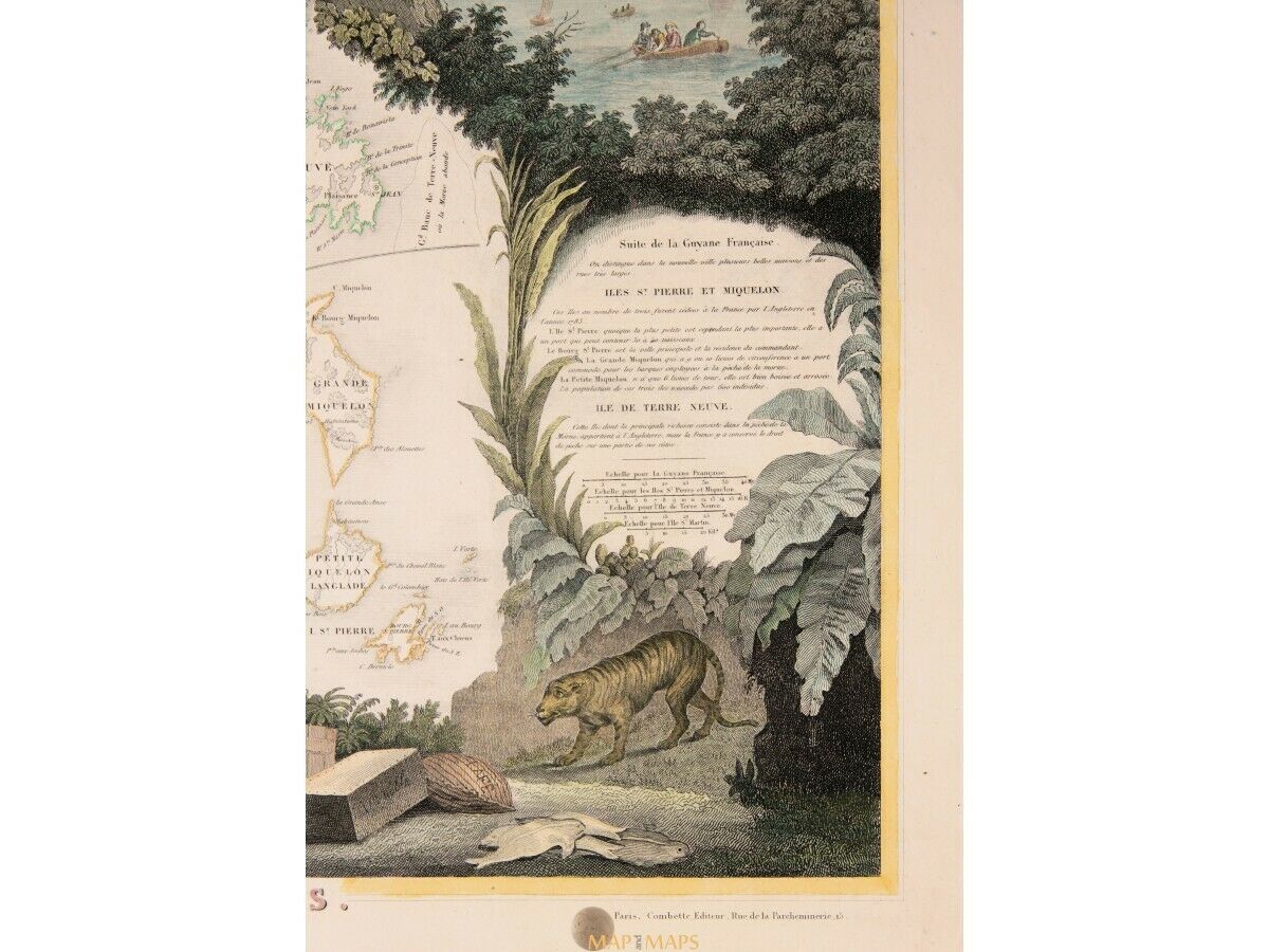
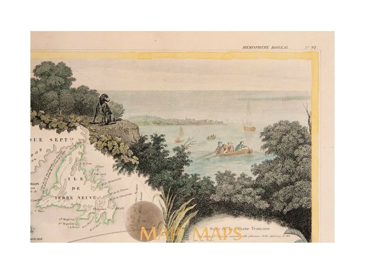
Description: Old map of the French colonies, St. Martin Island, Island of Newfoundland, French Guyana and The St. Pierre and Miquelon Islands, surrounded on all sides with elaborate illustrative borders.
Origin: Atlas National Ilustre des 86 Departments et des Possions de La France
V. Levasseur
A. Combette Paris 1856
ORIGINAL ANTIQUE MAP HAND COLORED.
Engraving is Absolutely Guaranteed authentic original map.
A Certificate of Authenticity will be on request forwarded for each individual map or print.
Size:
Sheet app.: 51 x 35 cm. 20 x 13.75 inches.
Image app.: 42 x 28.5 cm. 16 x 11.5 inches.
Condition: Overall very good, verso Blanco.
M
apandMaps.
For the complete Map and Print collection see our online site.
MapandMaps Cartography of the World.
Always real antique maps - Always original - Never reproductions.
Europe buyers; we accept payment in Euro.


