-40%
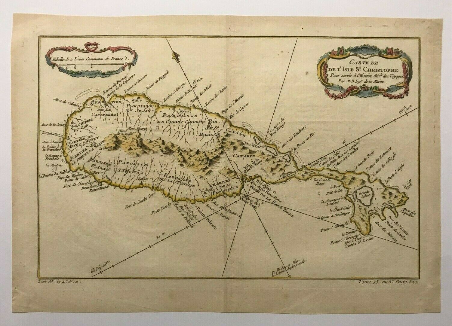
ST CHRISTOPHER CARIBBEAN 1750 NICOLAS BELLIN NICE ANTIQUE MAP 18TH CENTURY
$ 68.64
- Description
- Size Guide
Description
Title of the map:"CARTE DE L'ISLE St CHRISTOPHE Pour servir à l'histoire Générale des Voyages Par M. B. Ing de la Marine"
Nice antique detailed copper engraved map of St Christopher island (Caribbean), by Jacques-Nicolas BELLIN (1703-1772).
A nice decorative cartouche.
Size with margins :
35 x 24,2 cm / 13,7 x 9,4 inches
Condition :
very
good condition, strong paper, in colors
.
Edition :
Paris,
1750
, XVIIIe Century.
If you buy more than one item, you have to pay just one only shipping cost.
We send maps by DHL.
WE DON'T SELL LASER AND COPIES MAPS, ALL WE SELL IS ORIGINAL AND ANTIQUE
Due to the age an type of paper, some imperfections are to be expected. Please examine the images provided carefully, and if you have any questions please ask and we will be happy to help you


