-40%
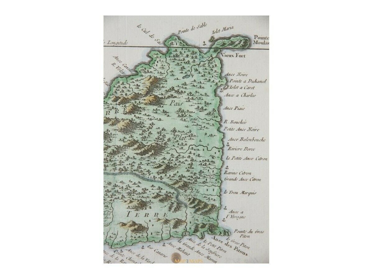
Saint Lucia Sainte Lucie West Indies Caribbean map Bellin 1758 | Caribbean Maps
$ 118.8
- Description
- Size Guide
Description
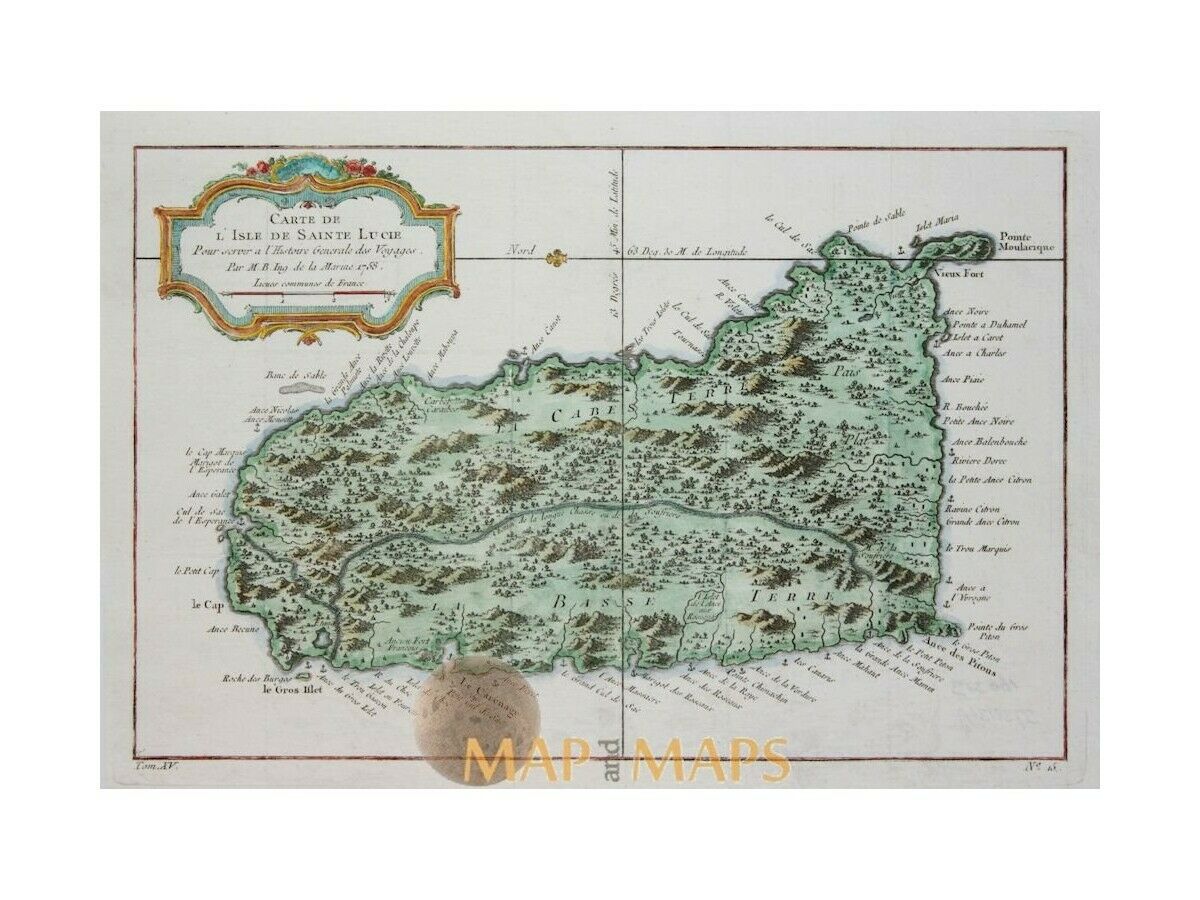
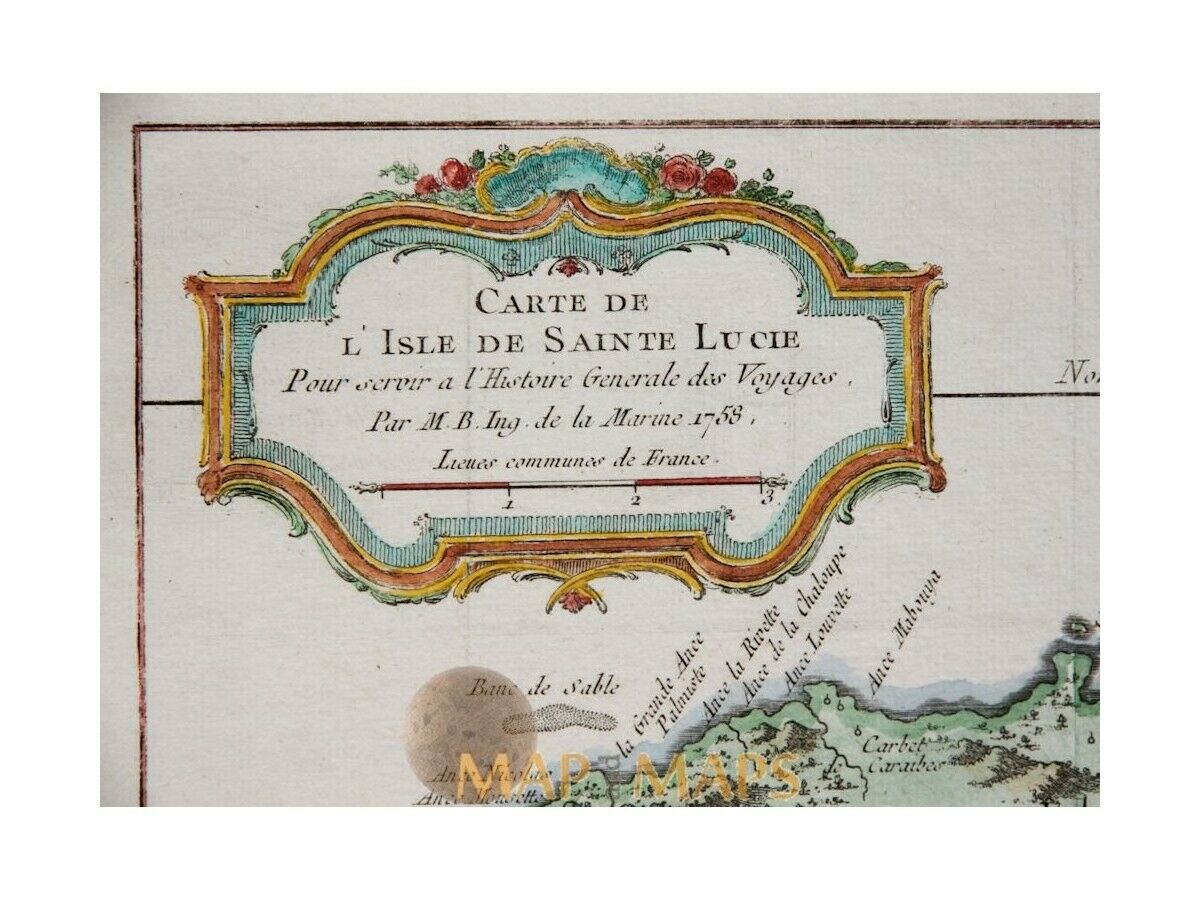
Saint Lucia Sainte Lucie West Indies Caribbean map Bellin 1758Titled: Carte de L’Isle de Sainte Lucie.
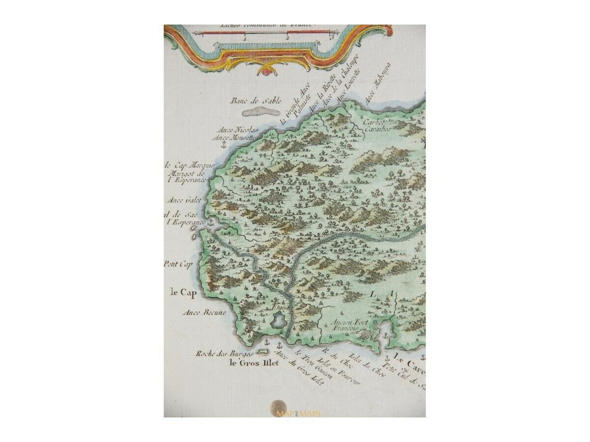
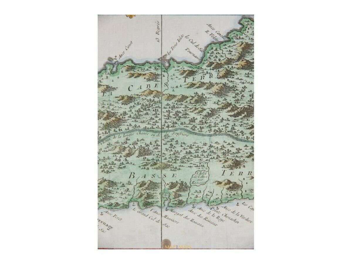
Descpription: Saint Lucia island in the Caribbean Sea, old map copperplate engraved map with hand coloring and a decorative title cartouche.
The shape of the map is as they saw during voyages in the past centuries.
Mapmaker : Jacques Nicolas Bellin (1703 – 21 March 1772)
(Royal Hydrographer, engineer of the French Navy and member of the Royal Society)
For Antoine-François Prevost's
" L`Histoire Generale des Voyages"
16th -17th -18th-19th Century maps & atlases & prints.
We sell guaranteed Absolutely Original authentic Maps and Prints.
A Certificate of Authenticity ( COA ) will be supplied on request.
Size:
Sheet app.: 13 x 9.5 inches. (33 x 24 cm.)
Image app.: 12 x 7.75 inches. (30.5 x 20 cm.)
Condition: Very good detailed map.
M
APandMAPs.
For the complete Map and Print collection see our online site.
Early Cartography of the World.
Always real antique maps - Always original - Never reproductions.
