-40%
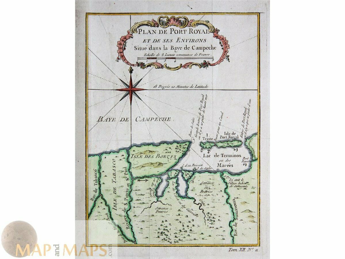
Plan de Port-Royal Isla del Carmen (Port Royal) Bellin 1754
$ 60.72
- Description
- Size Guide
Description
Plan de Port-Royal Isla del Carmen (Port Royal) Bellin 1754Title : Plan de Port-Royal et des Environs dans la Baye de Campeche.
Description: Mexico, old antique map of the Laguna de Terminos, Isla del Carmen (Port Royal) and the Grijalva River (Tobasco). The map is copperplate engraved with hand coloring.
Mapmaker Nicolas Bellin.
Origin: Abbe Prevost d'Exiles. Histoire generale des voyages.
Cartographer/mapmaker
Jacques Nicolas Bellin (1703 – 21 March 1772)
Bellin was born in Paris. He was hydrographer of France's hydrographic office, member of the Académie de Marine and of the Royal Society of London. Over a 50 year career, he produced a large number of maps of particular interest to the Ministère de la Marine.
Engraved by Jakob van der Schley aka Jakob van Schley a Dutch engraver. He studied under Bernard Picart.
Most of the plates in the Dutch edition of Prévost's "Histoire générale des voyages" are signed by van der Schley.
Publishers: Prévost, Abbé, 1697-1763 - Meusnier de Querlon, A.-G. 1702-1780 - Pierre de Hondt, The Hague between 1747 – 1780.
Authentic Antique Old Maps & Prints from the past
See our historic maps of the Centuries of the World continents.
16th -17th -18th-19th Century maps & atlases & prints.
We sell guaranteed Absolutely Original authentic Maps and Prints.
We ship our antique items across the world.
Size:
Sheet app.: 17 x 23 cm. 6.5 x 9 inches.
Image app.: 14.5 x 20.5 cm. 5.5 x 8 inches.
Condition: Very good, folds as published.
M
apandMaps.
For the complete Map and Print collection see our online site.
MapandMaps Cartography of the World.
Always real antique maps - Always original - Never reproductions.
Europe buyers; we accept payment in Euro.


