-40%
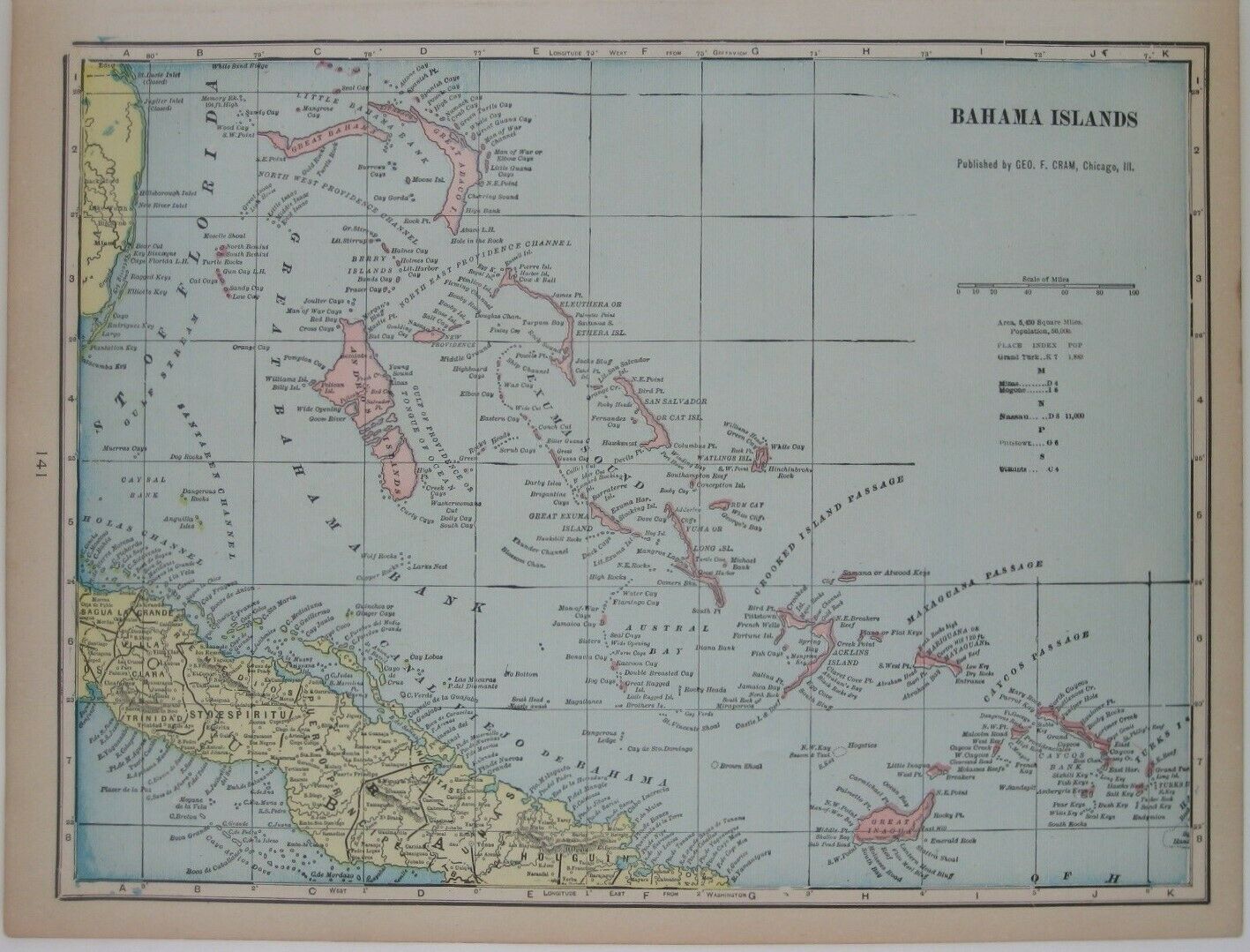
Original 1902 Map BAHAMA ISLANDS Nassau Andros Eleuthera Abacos San Salvador
$ 8.44
- Description
- Size Guide
Description
Original 1902 antique color lithographed map of the Bahama Islands, printed more than 115 years ago.The image area measures 25.4 x 34 cm [10" x 13½"], and the coverage area includes part of central Cuba and a sliver of the Florida coast. Longitude is measured from Greenwich and Washington.
Among the named places and features are Great Inagua, Ambergris Keys, Eleuthera, Grand Turk, Great Exuma, Bimini, Mayaguana Passage, Abacos Lighthouse, Austral Bay, Memory Rock, Caicos Banks, Andros, New Providence, Miami, and Nassau.
The map labels Cat Island as "San Salvador," the supposed site of the first landing of Columbus in 1492. But later analysis seemed to indicate that nearby Watling's Island was actually where he made landfall, and Watling's was renamed San Salvador in 1925.
This map was published by George Franklin Cram, Chicago in 1902 and is an
original
, authentic antique map,
not
a reproduction or modern reprint. It is fully guaranteed to be genuine.
Condition:
It is in
excellent condition,
bright and clean, with
no
marks, rips, or tears. Please see the scans and feel free to ask any questions.
It would make a very handsome display in your den or office. It would also make a perfect gift, and we'll include our helpful framing tips for your reference, along with a photocopy of the dated title page from the book in which this map was published.
Buy with confidence! We are always happy to combine shipping on the purchase of multiple items — just make sure to pay for everything at one time, not individually.
Powered by SixBit's eCommerce Solution


