-40%
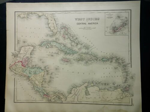
Original 1876 Maps of the West Indies and South America
$ 13.19
- Description
- Size Guide
Description
This is an original hand tinted map from Grays Atlas of the World published in 1876. One side is the West Indies, the other is South America. Map is 14"x17" and would be beautiful framed.There is a small tear in the bottom border.
Shipped flat, USPS First Class Mail.


