-40%
Original 1835 Map GUADELOUPE French West Indies Marie Galante Pointe-à-Pitre
$ 20.59
- Description
- Size Guide
Description
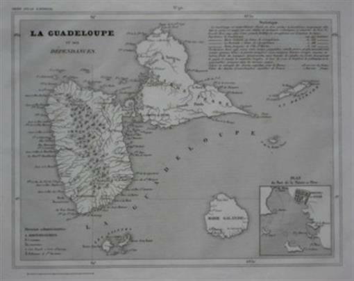
Original 1835 Map GUADELOUPE French West Indies Marie Galante Pointe-à-PitreHandsome original engraved antique map of the islands of Guadeloupe in the French Caribbean, printed more than 177 years ago.
The image area measures 18.6 x 24 cm [7-1/4" x 9-1/2"], and the map is titled
La Guadeloupe et ses De´pendances
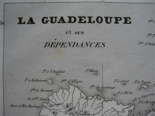
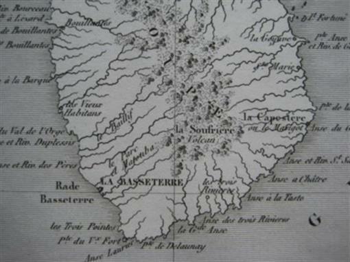
. The scans below give a closer look:
Details include towns, administrative districts, and shoreline features. Topography is shown in relief, and a table of statistics includes agricultural production and populations of the islands. There is an inset harbor plan of Pointe-a-Pitre.
The coverage area includes the island of Guadeloupe and the smaller islands of Marie-Galante, La Désirade, and the Îles des Saintes. The map was published by Charles V. Monin in
Petit Atlas National
, Paris, 1835.
It would make a beautiful display in your den or office. It would also make a perfect gift, and we will include our helpful tips on framing with your purchase.
Condition:
This map is in very good condition, bright and clean, with two faint spots in the upper margin, outside of the image area, and
no
rips or tears. It is blank on the back, with no printing on the reverse side.
This is an
original
, authentic antique map,
not
a reproduction or modern reprint, and it is fully guaranteed to be genuine. We are pleased to offer it with
our unconditional, money-back guarantee.
Powered by SixBit's eCommerce Solution


