-40%
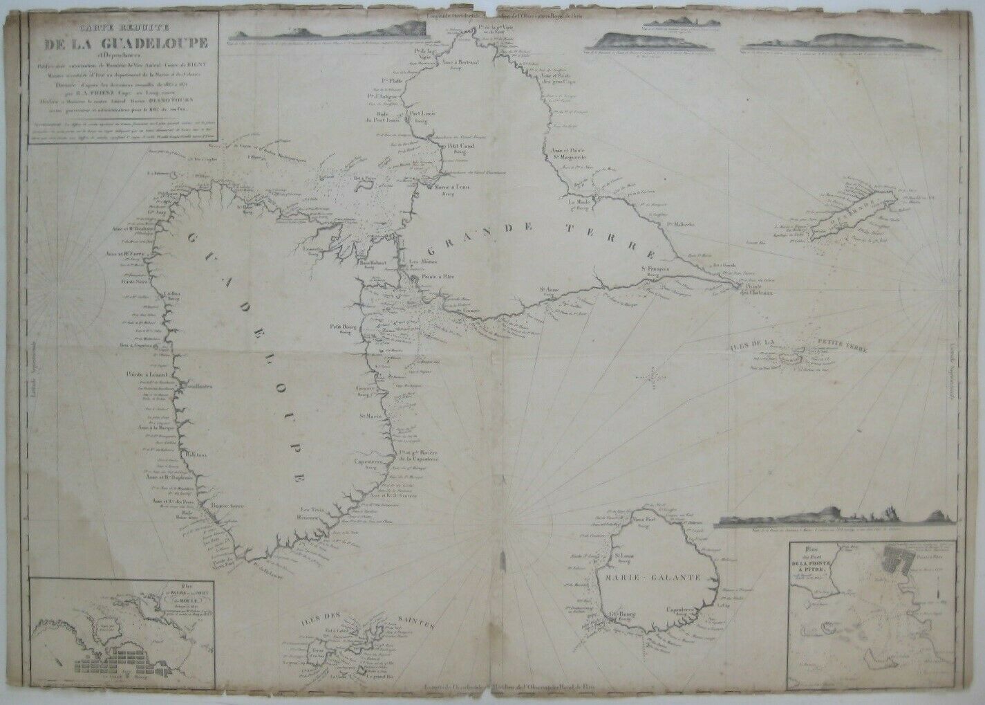
Original 1831 Friesz Nautical Map GUADELOUPE Marie-Galante Desirade Caribbean
$ 290.39
- Description
- Size Guide
Description
Original large-format nautical chart of the Guadeloupe Islands, including Grande-Terre, Basse-Terre, Marie-Galante, La Désirade, and the archipelagos of Iles des Saintes and Iles de la Petite Terre.It is titled
Carte Réduite de la Guadeloupe et Dépendances,
and the image area measures a generous 63.5 x 89 cm [25" x 35"]. Longitude is measured from Paris.
There are inset plans of the harbors of Grand-Bourg on Marie-Galante and Pointe-à-Pitre on Grande-Terre, along with a compass rose and five elevations depicting land forms as they would appear to approaching mariners.
The map was published under the authority of Admiral Marie Henri Daniel Gauthier, Count de Rigny, and drawn by Captain H. A. Friesz in 1831.
Condition:
This map is printed on a heavy laid paper and is blank on the back, with no printing on the reverse side. It had been lightly folded, to accommodate its storage aboard a ship. The upper and lower margins have been trimmed to the neat lines, and there are tiny closed tears, chips, and toning along the edges at top and bottom, with a faint water stain at the lower left. Please see the scans and feel free to ask any questions.
This is an
original
, authentic antique map,
not
a reproduction or modern reprint, and it is fully guaranteed to be genuine.
Buy with confidence! We are always happy to combine shipping on the purchase of multiple items — just make sure to pay for everything at one time, not individually.
Powered by SixBit's eCommerce Solution


