-40%
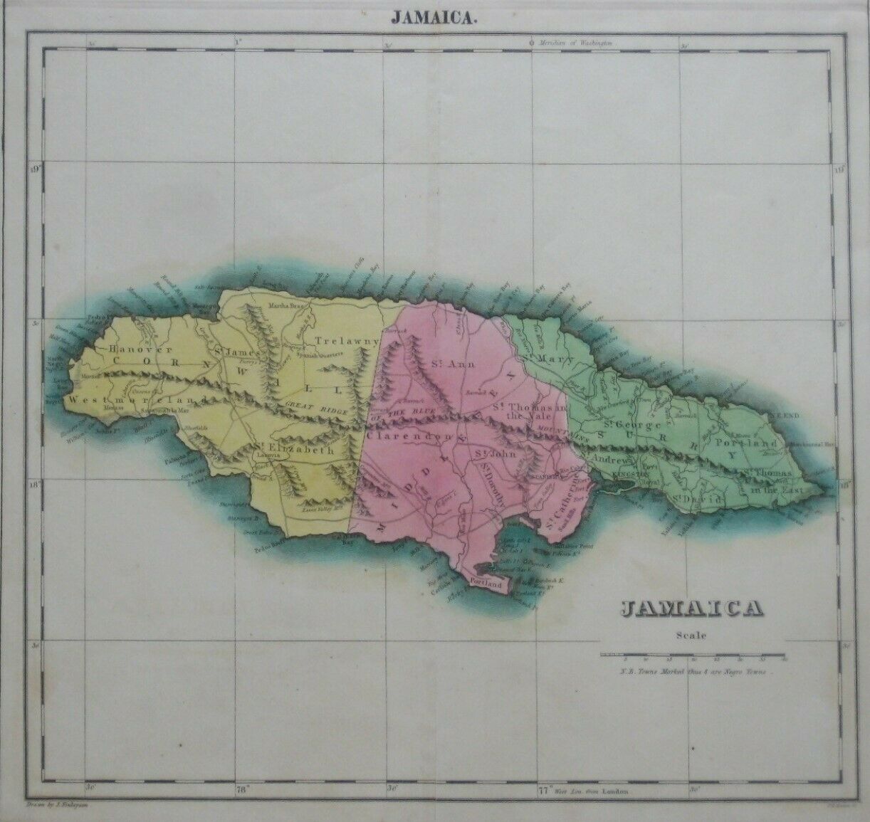
Original 1822 Carey & Lea Map JAMAICA Negro Towns Kingston Port Royal Maroon War
$ 95.03
- Description
- Size Guide
Description
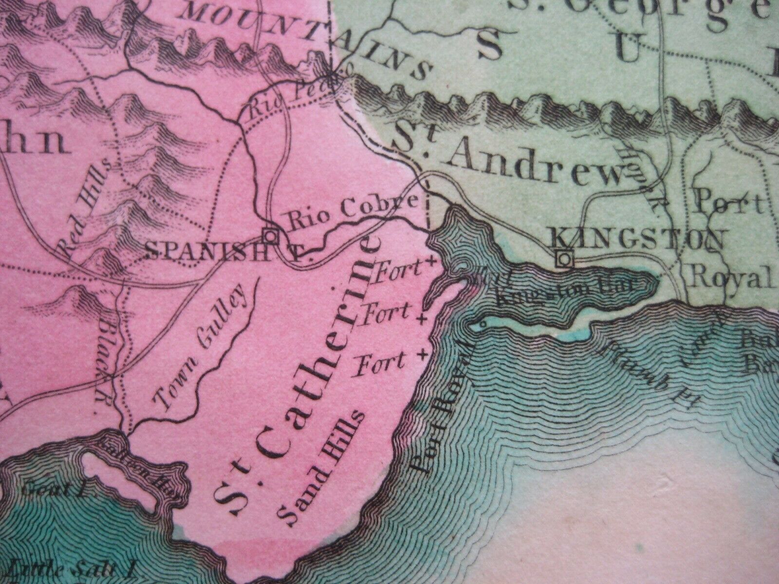
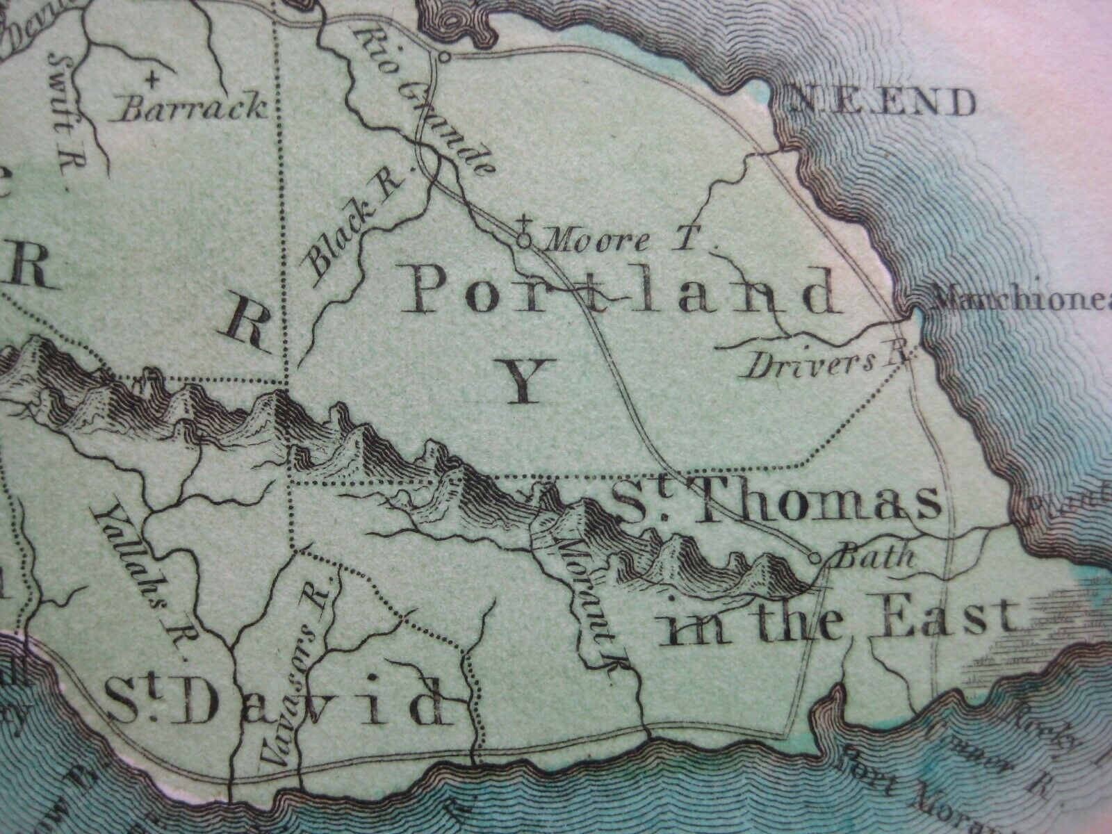
Handsome copper-engraved 1822 antique map of the island of Jamaica, in original hand color.Topography is drawn in relief, and details include mountains, rivers, coastal features, towns, parishes, counties, forts, barracks, and wagon roads.
The legend key below the distance scale shows the small symbol used to identify Negro Towns.
The color delineates three counties: Cornwall, Middlesex, and Surrey (spelled Surry on the map).
The image area of the map measures 31 x 33 cm [12¼" x 13"], and it is surrounded by letterpress text on a larger sheet, which measures 45 x 55.5 cm [17½" x 21¾"].
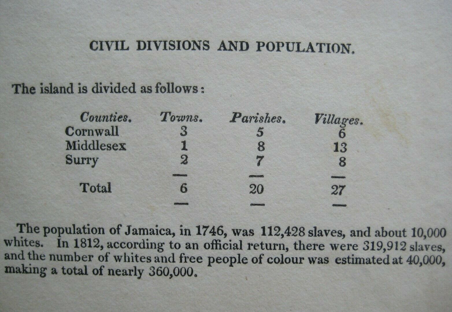
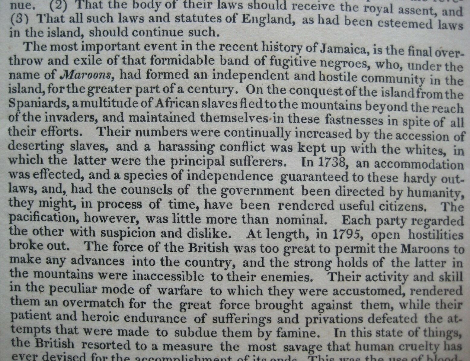
The text surrounding the map provides a wealth of information on Jamaica, including the island's commerce, climate, towns, government, history, and chief towns.
The island's population in 1812 is given as "nearly 360,000," with 319,912 slaves and an estimated 40,000 whites and free people of color.
The chief towns are Kingston, Port Royal, Montego Bay, and Spanish Town, which was then the capital of Jamaica.
The text also includes a description of the Second Maroon War, "the most important event in the recent history of Jamaica," which ended after "a violation of honour and humanity such as it is to be hoped mankind may never again witness."
The map was drawn by James Finlayson and engraved by Phineas Eldridge Hamm. Longitude is measured from Washington and Greenwich.
Its full title is "Geographical, Statistical, and Historical Map of Jamaica," and it is identified as Plate No. 41 from
A Complete Historical, Chronological, and Geographical American Atlas
, published in Philadelphia by Henry Charles Carey and Isaac Lea, 1822.
Condition:
It is in
excellent condition
bright and clean, with vibrant coloring, a strong impression, and
no
marks, rips, or tears. There is a vertical center fold, as issued, and the map is blank on the back, with no printing on the reverse side. Please see the scans and feel free to ask any questions.
This is an
original
, authentic antique map,
not
a reproduction or modern reprint, and it is fully guaranteed to be genuine.
Buy with confidence! We are always happy to combine shipping on the purchase of multiple items — just make sure to pay for everything at one time, not individually.
Powered by SixBit's eCommerce Solution
