-40%
Original 1817 Thomson Map DOMINICA MARTINIQUE Fort Royal West Indies Islands
$ 105.59
- Description
- Size Guide
Description
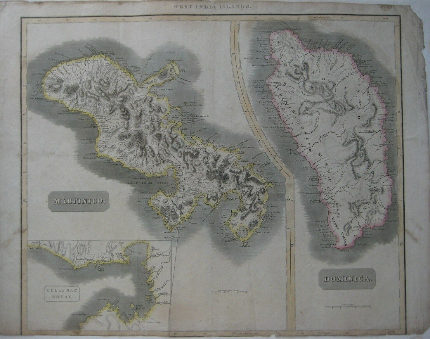
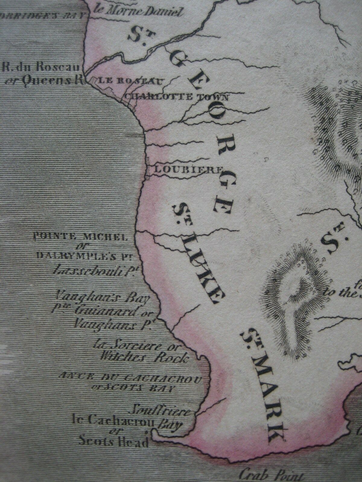
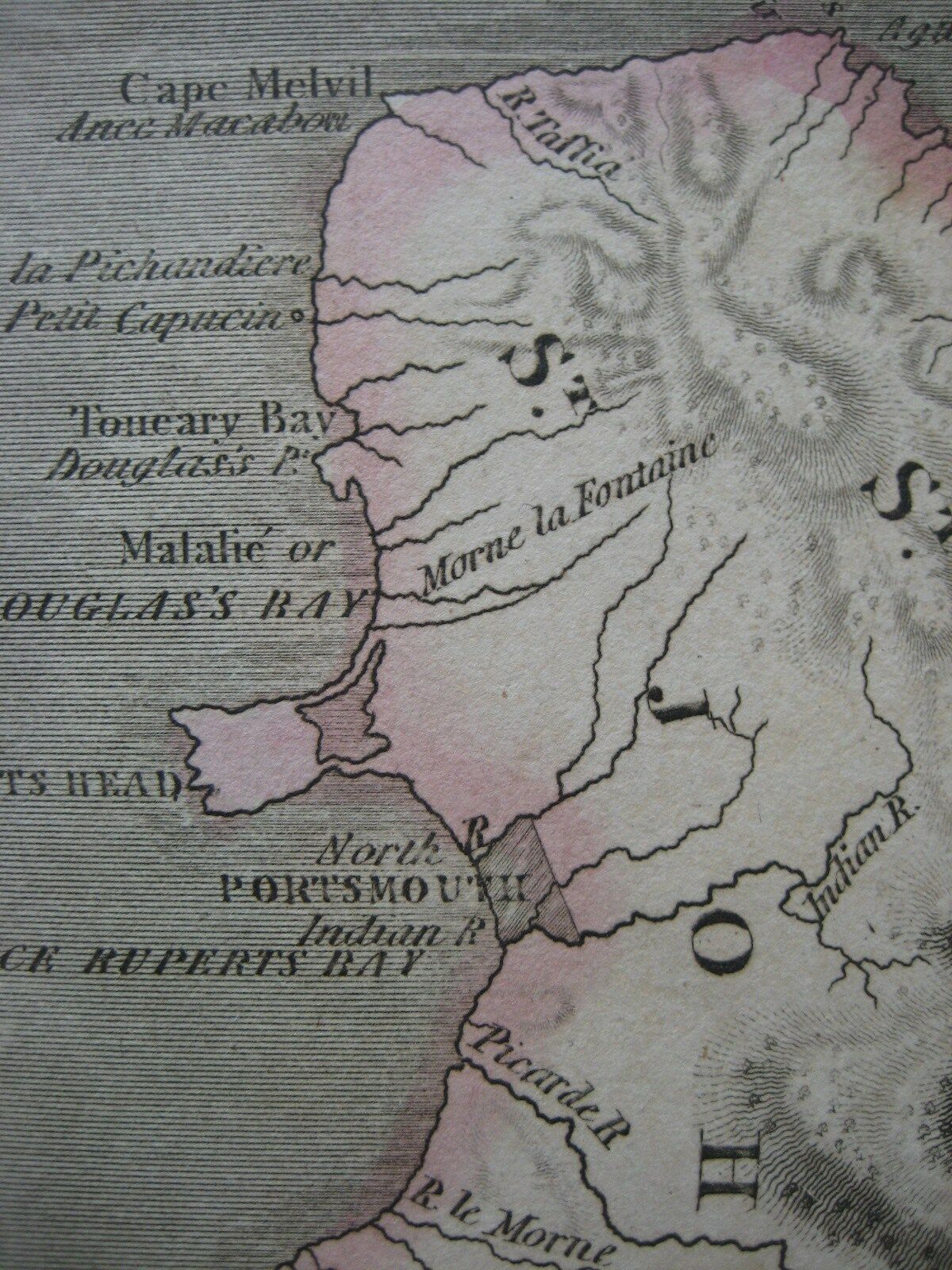
Original 1817 Thomson Map DOMINICA MARTINIQUE Fort Royal West Indies IslandsHandsome large-format 1817 antique map of the West Indies islands of Martinique and Dominica, in original hand color, published by John Thomson more than 195 years ago.
The overall image area measures a generous 50 x 60 cm [19¾" x 23½"] on an oversized double-folio sheet. The heading in the upper margin reads "West India Islands," and longitude is measured from London and Ferro.
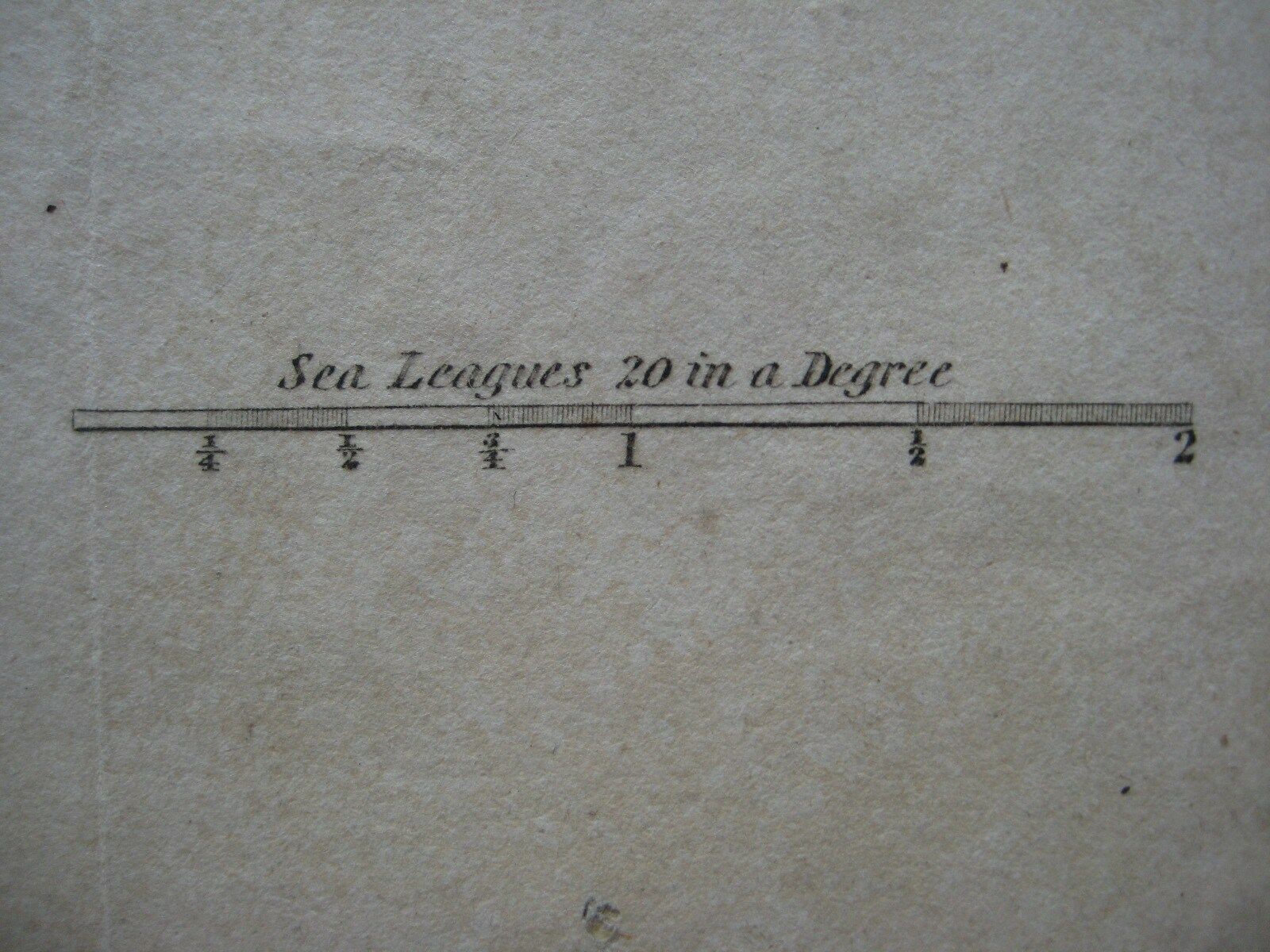
There's attractive shading along the coast lines, topography is drawn in relief, and distance scales measure statute miles and sea leagues.
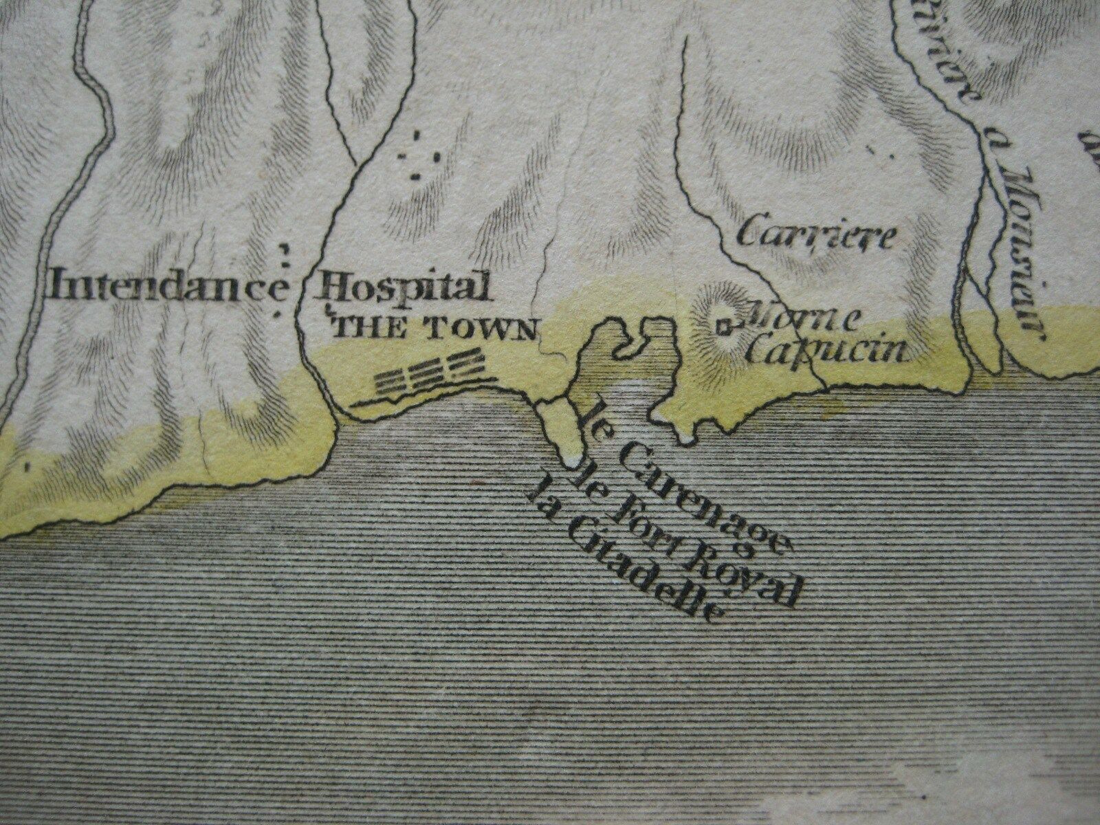
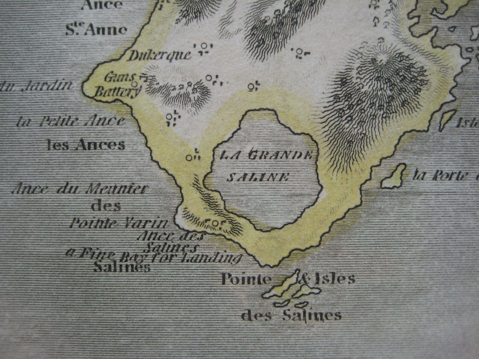
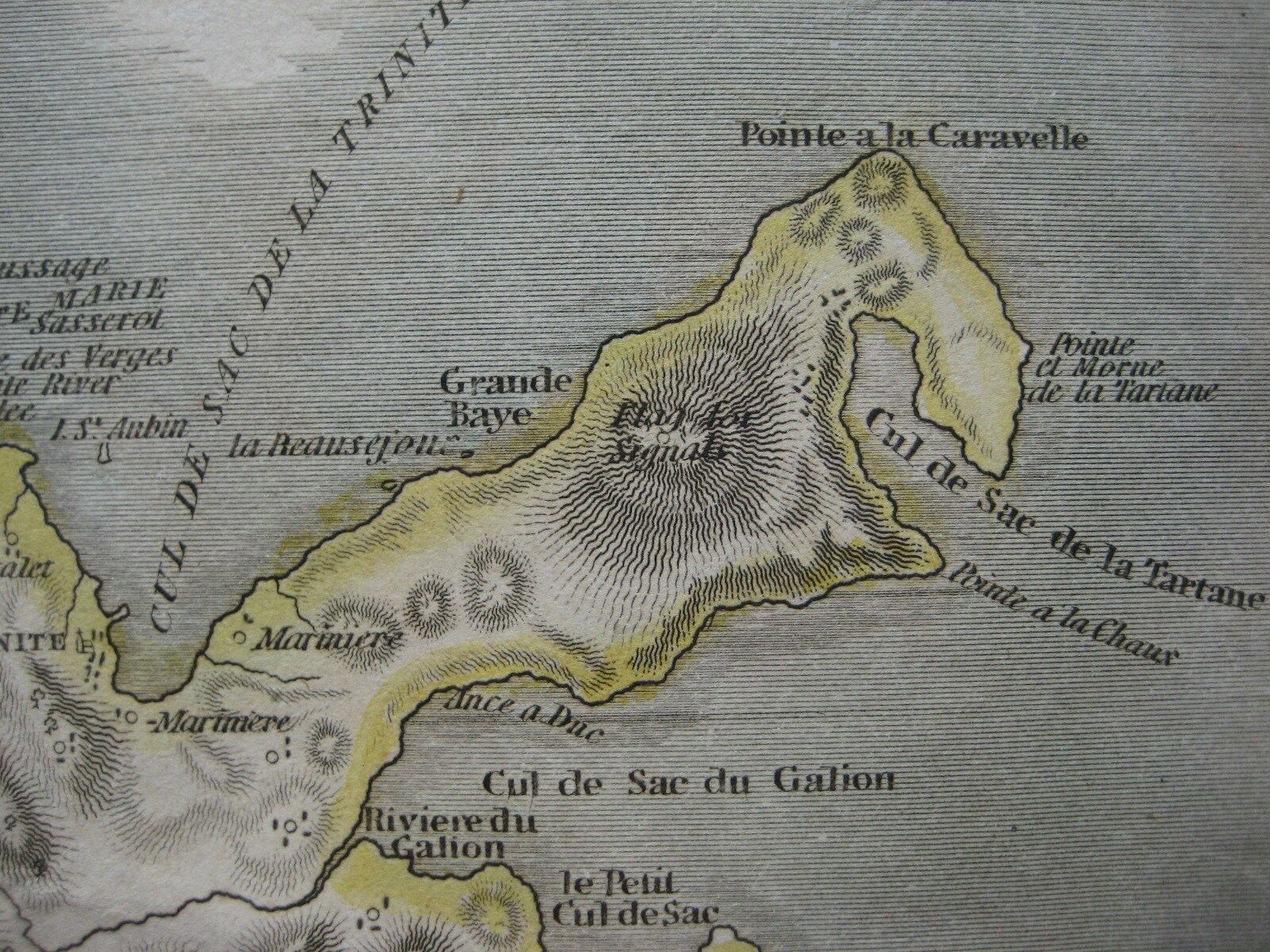
Details include forts, towns, settlements, rivers, and coastal features, with hundreds of places names.
An inset title "Cul de Sac Royal" shows present-day Fort-de-France or what was then known as Fort Royal, the administrative capital of Martinique until it was partially destroyed by an earthquake in 1839, twenty-two years after this map was printed.
The map was engraved by Kirkwood & Son for the 1817 edition of Thomson's
A New General Atlas,
published in Edinburgh.
Condition:
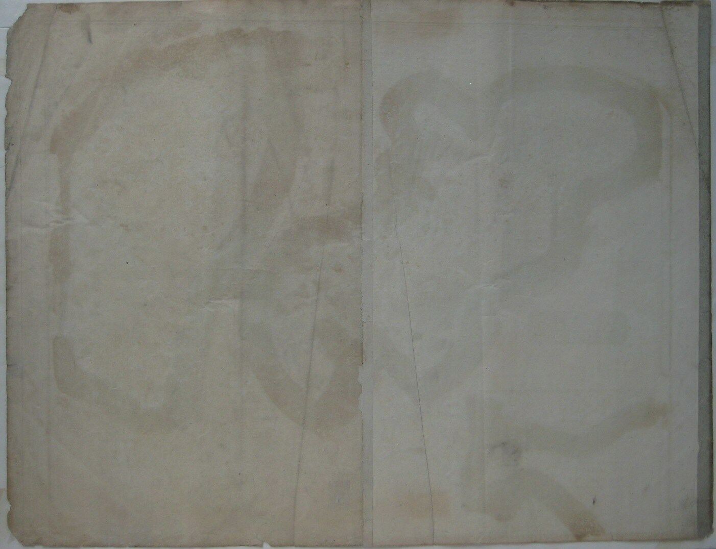
The margin has been cropped to the neat line at the bottom, and there are some small tears and nicks along the lower edge. A fairly strong creases runs diagonally from top to bottom, and the right edge is bit tattered, well outside the image area. There is a vertical center fold, as issued, and the map is blank on the back, with no printing on the reverse side. Please see the scans, which include a view of the reverse side, and feel free to ask any questions.
This is an
original
, authentic antique map,
not
a reproduction or modern reprint, and it is fully guaranteed to be genuine.
The maps in Thomson's atlas are notable for their massive scale, heavy stock, elegant color work, and easy-to-read typefaces. They are highly admired by collectors today and consequentially are becoming increasingly rare.
The atlas is noted for its fact-based cartography; its full title is
A New General Atlas, Consisting of a Series of Geographical Designs, on Various Projections, Exhibiting the Form and Component Parts of the Globe; and a Collection of Maps and Charts, Delineating the Natural and Political Divisions of the Empires, Kingdoms, and States in the World.
This map of Dominica and Martinique would make a wonderful display in your den or office, and we'll include our helpful framing tips for your reference, along with a photocopy of the dated title page from the book in which it was published. We are pleased to offer it with
our unconditional, money-back guarantee.
Powered by SixBit's eCommerce Solution
