-40%
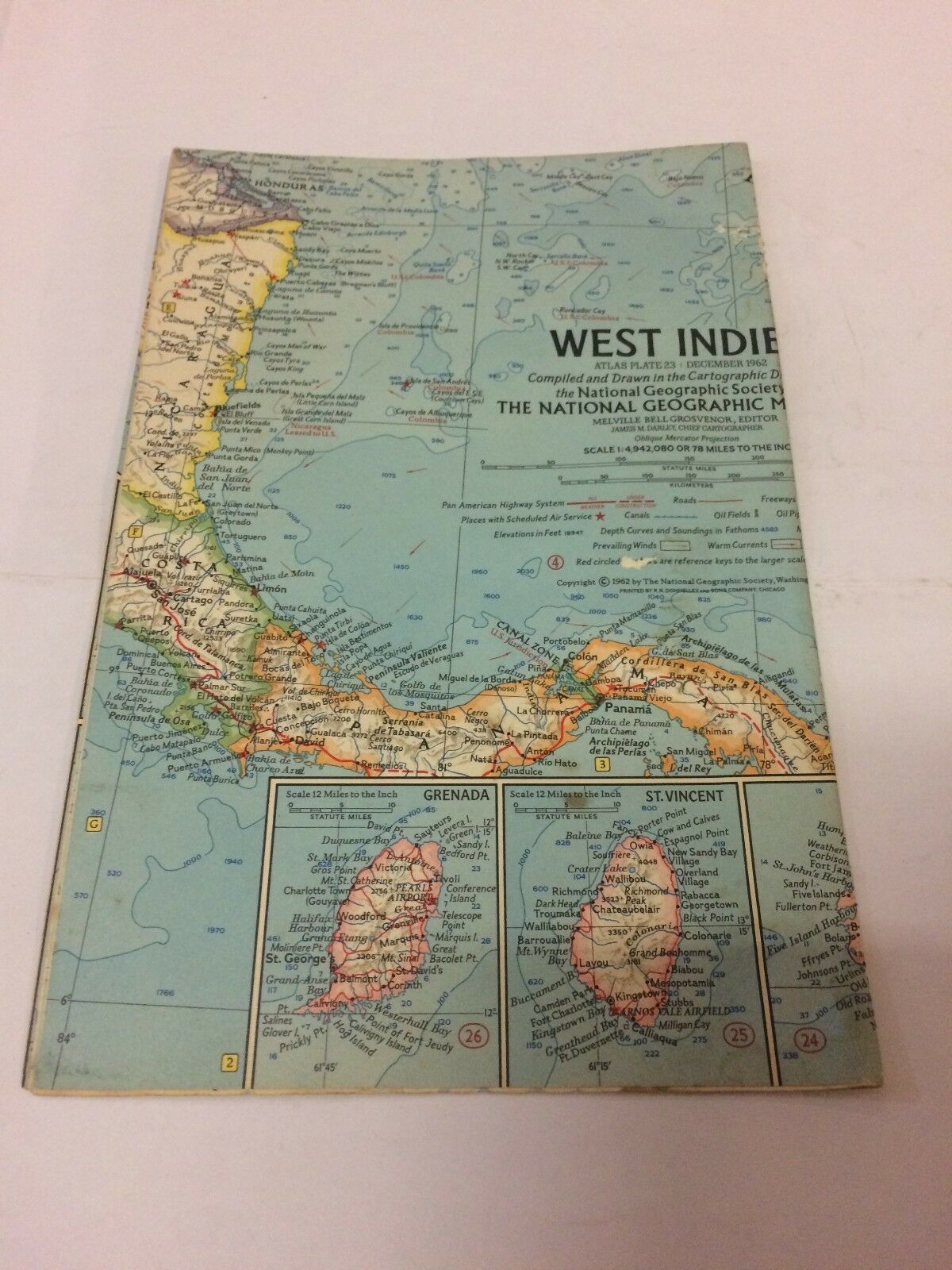
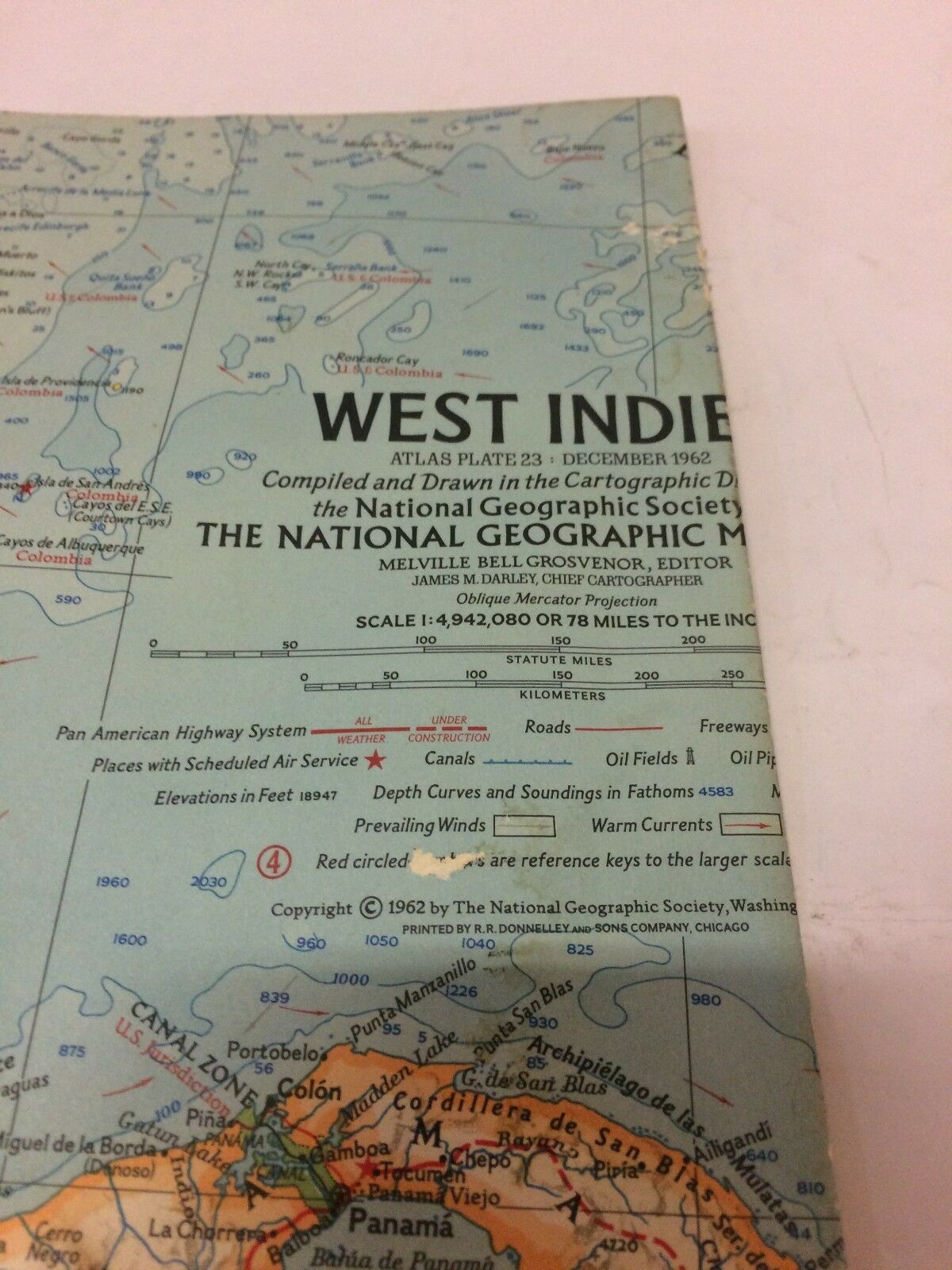
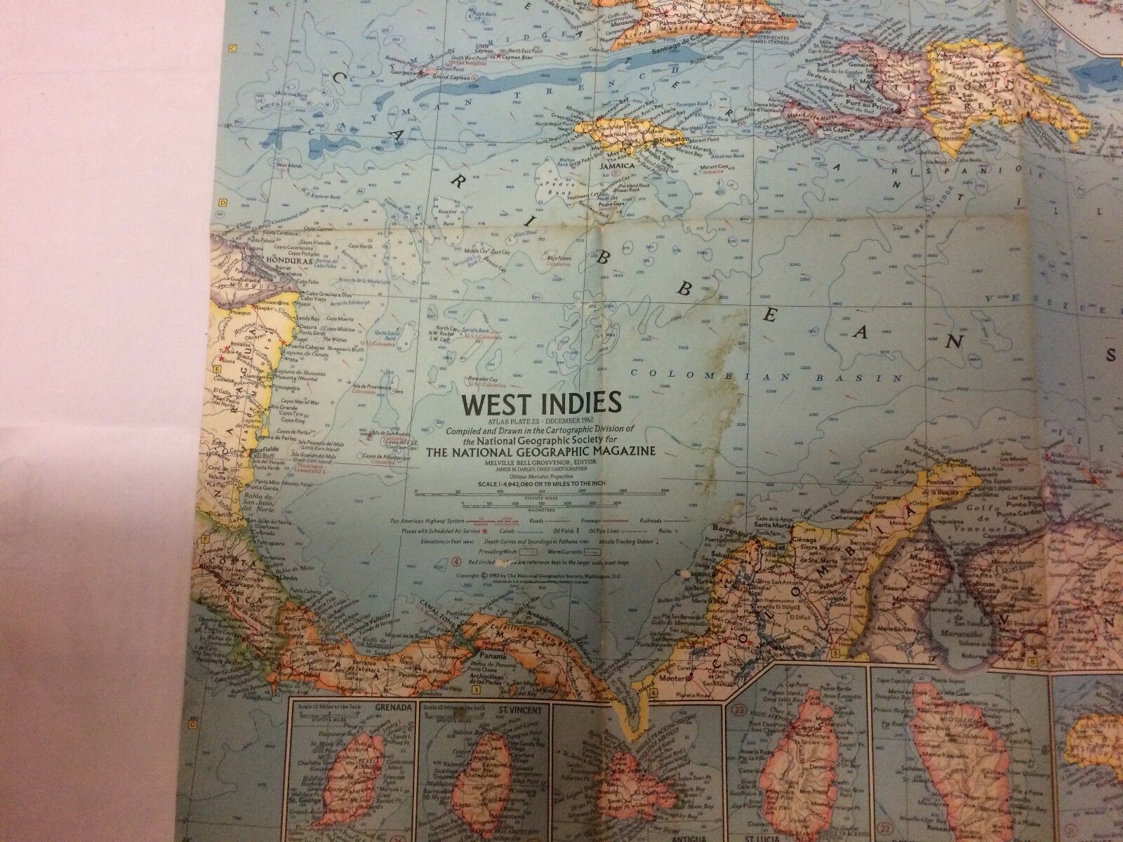
National Geographic Atlas Plate December 1962, West Indies Map - Free Shipping
$ 7.91
- Description
- Size Guide
Description
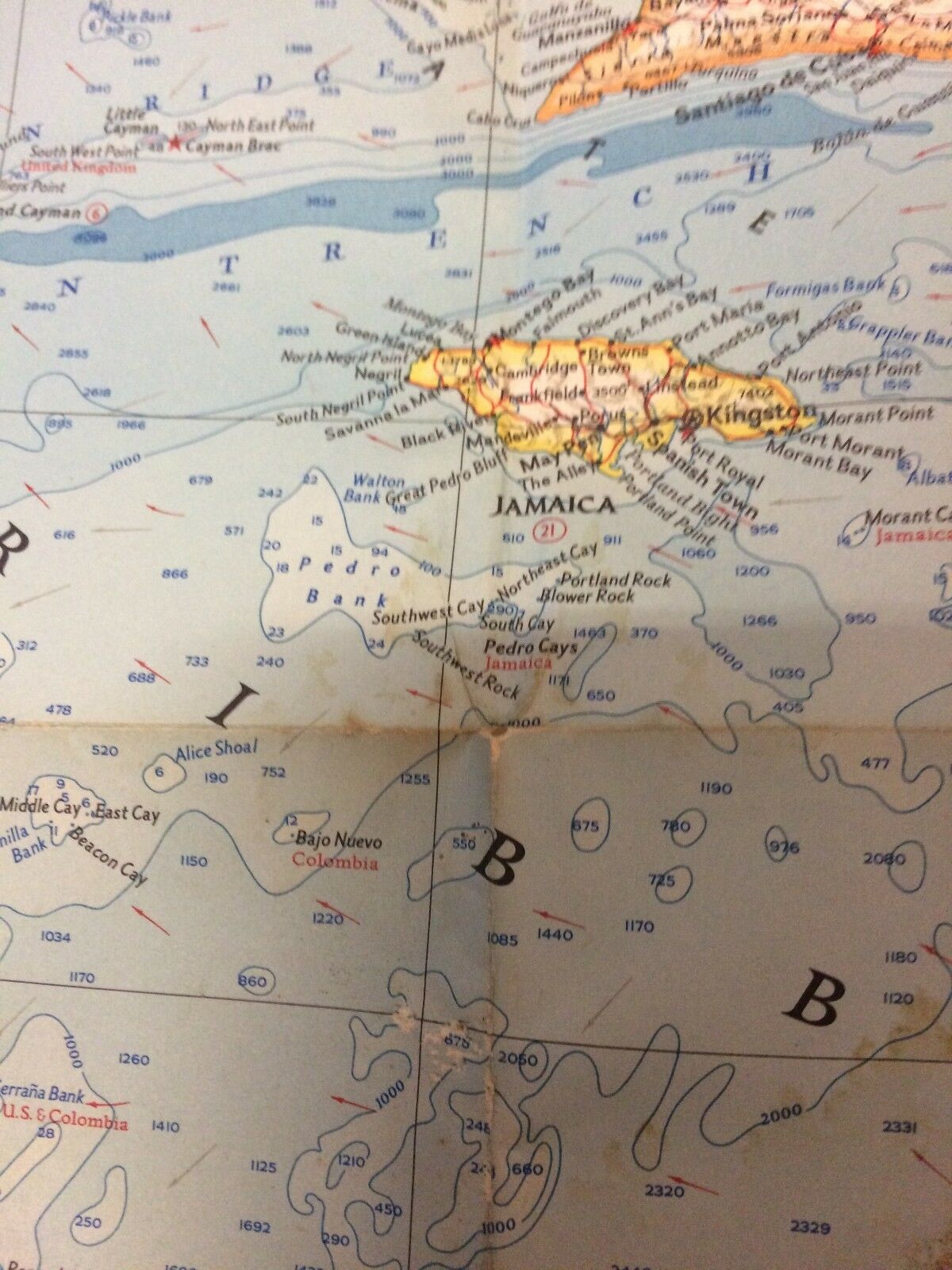
West Indies Map, Atlas Plate #23, December 1962. Compiled and Drawn in the Cartographic Division of the National Geographic Society for the National Geographic Magazine. Melville Bell Grosvenor, Editor. James M. Dudley, Chief Cartographer. Oblique Mercator Projection Scale: 1:8,236,800Good condition, some staining, see pictures.
Feel free to ask questions.


