-40%
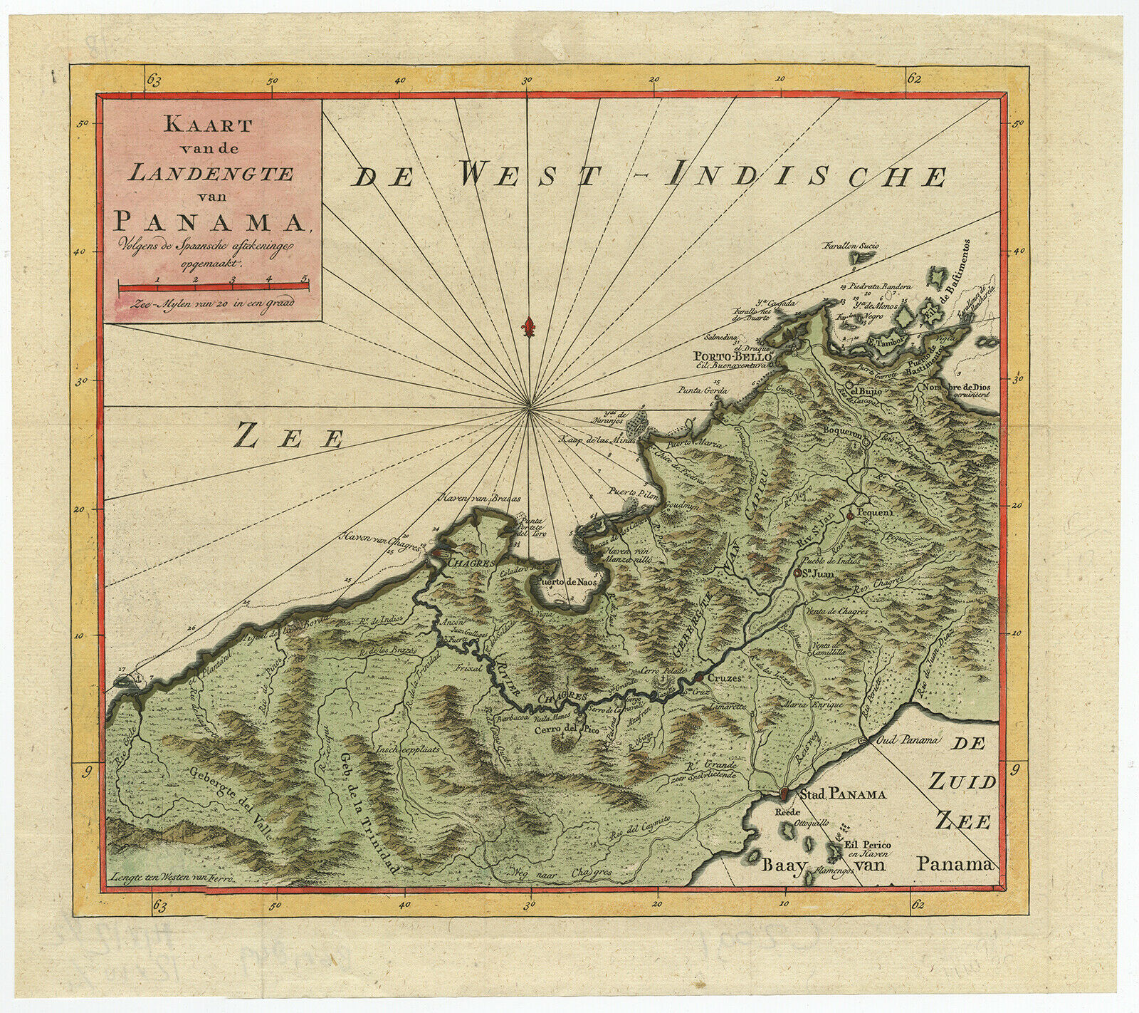
MEXICO ANTIQUE ORIGINAL MAP 1897
$ 11.08
- Description
- Size Guide
Description
Original antique lithograph map of MEXICO. Shows canals, railroads, steamship lines, & lighthouses. Published in the The Century Atlas,1897. By: The Century Co., New York. Measures approx. 12x16.5 inches. This is an original authentic antique, NOT a reproduction. Items are shrink wrapped on acid free backing and mailed flat.30-day return policy for any reason.


