-40%
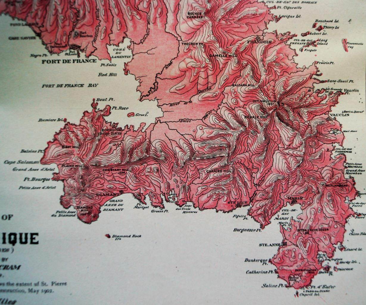
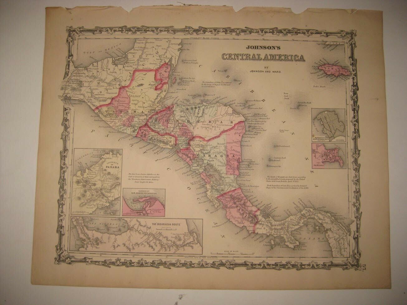
MARTINIQUE CENTRAL AMERICA MAP ATLAS PAGE PLATE 1908 GEORGE F. CRAM VINTAGE
$ 5.27
- Description
- Size Guide
Description
Official PayPal Conversion RatesAdd
Currency Converter
To Your Items
Official PayPal Conversion Rates
Add
Currency Converter
To Your Items
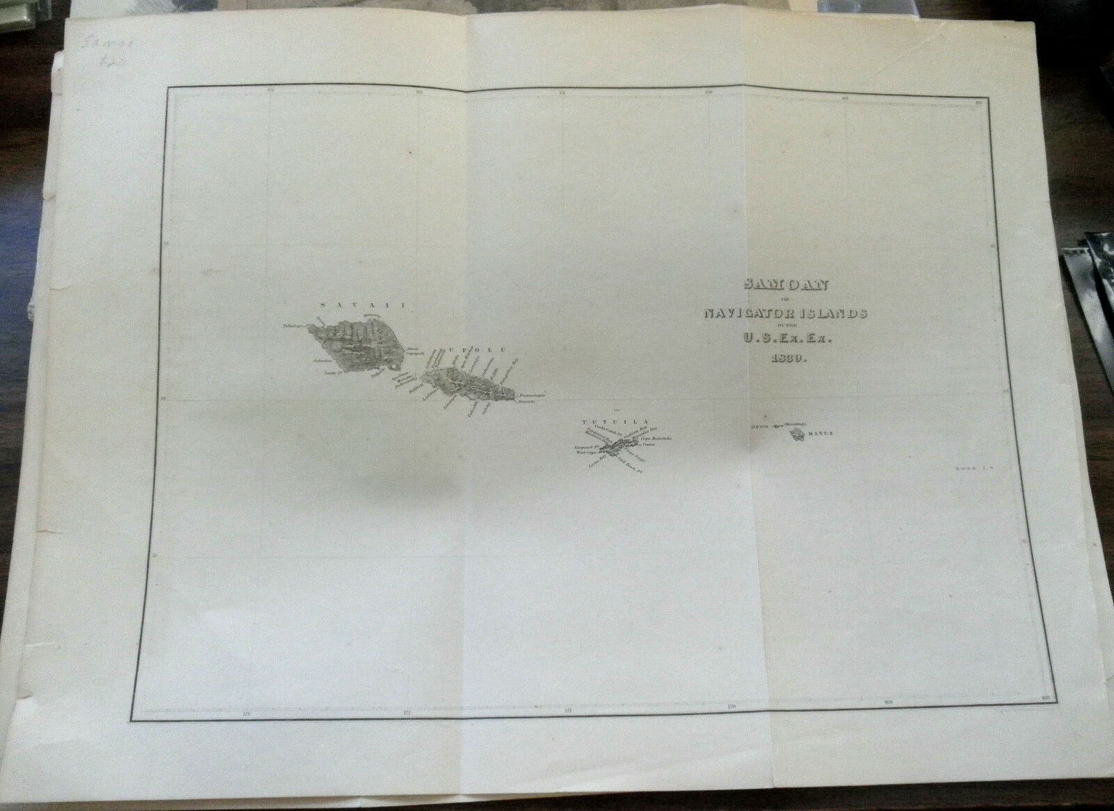
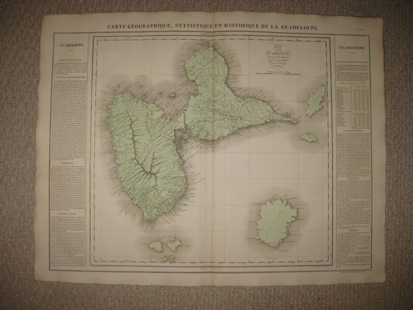
Vintage Martinique & Central America map atlas page plate published by George F. Cram circa 1908. Martinique map measures 11 X 14 1/2 inches in size when fully opened (28 X 37cm). Backside is Central America measuring 14 1/2 X 22 1/8 inches in size (37 X 56cm). Map is an authentic original in good condition as shown in photos.
MARTINIQUE CENTRAL AMERICA MAP ATLAS PAGE PLATE 1908 GEORGE F. CRAM VINTAGE
MARTINIQUE CENTRAL AMERICA MAP ATLAS PAGE PLATE 1908 GEORGE F. CRAM VINTAGE
Click images to enlarge
Description
Vintage Martinique & Central America map atlas page plate published by George F. Cram circa 1908. Martinique map measures 11 X 14 1/2 inches in size when fully opened (28 X 37cm). Backside is Central America measuring 14 1/2 X 22 1/8 inches in size (37 X 56cm). Map is an authentic original in good condition as shown in photos.
Images sell!
Get Supersized Images & Free Image Hosting
Create your brand with Auctiva's
Customizable Templates.
Attention Sellers - Get Templates
Image Hosting, Scheduling at Auctiva.com.
Every buyer gets a MyStoreRewards invitation for cash back
Track Page Views With
Auctiva's FREE Counter


