-40%
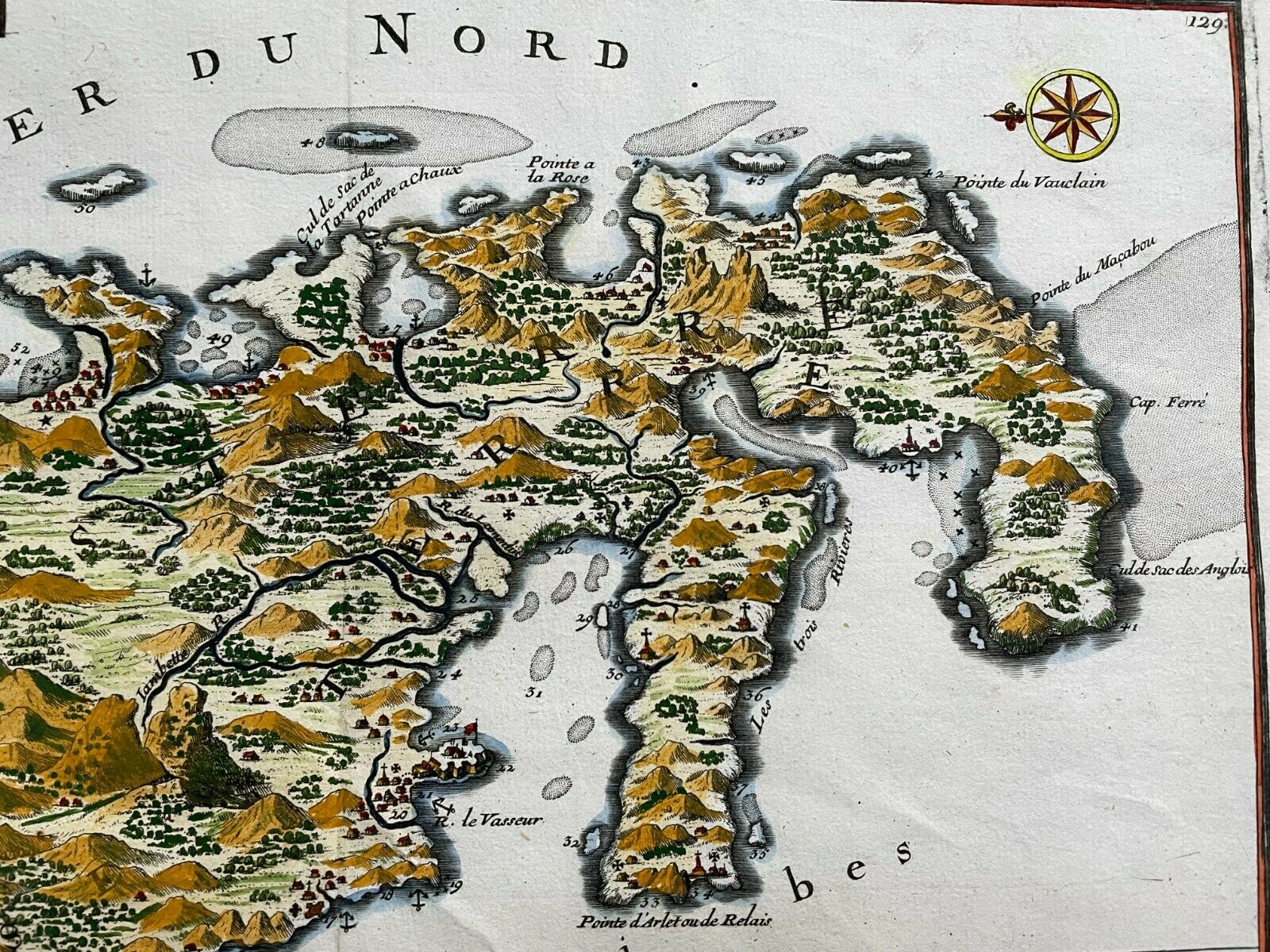
MARTINIQUE CARIBBEAN 1704 NICOLAS DE FER UNUSUAL ANTIQUE MAP 18TH CENTURY
$ 184.8
- Description
- Size Guide
Description
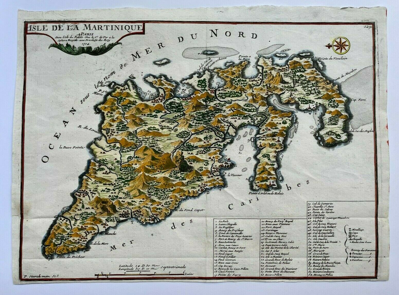
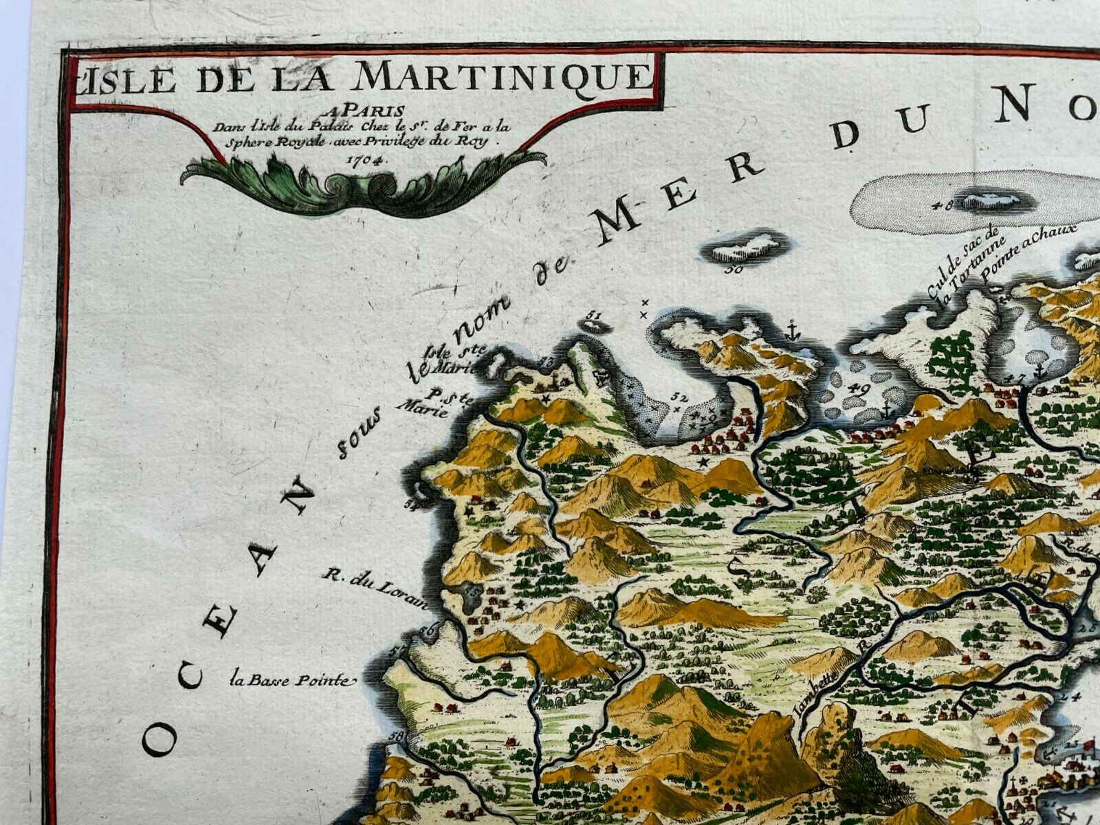
Title of the map:"L'ISLE DE LA MARTINIQUE A PARIS Dans l'Isle du Palais Chez le Sr de FER a la Sphere Royale Avec Privilege du Roy 1704"
Unusual antique copper engraved map of Martinique, in Caribbean
, by Nicolas DE FER, dated 1704, 18th century.
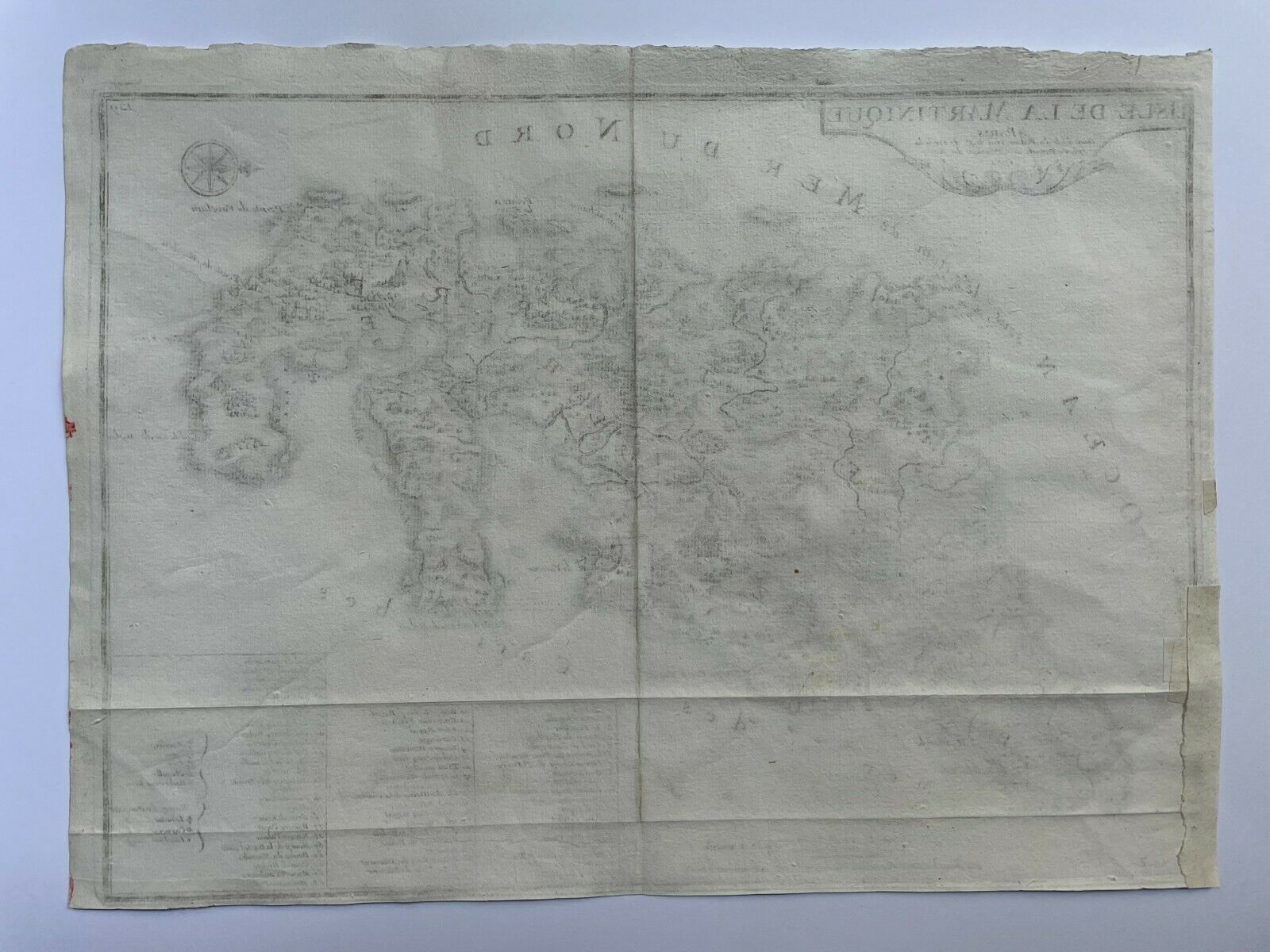
With in inset, the list of main monuments and streets.
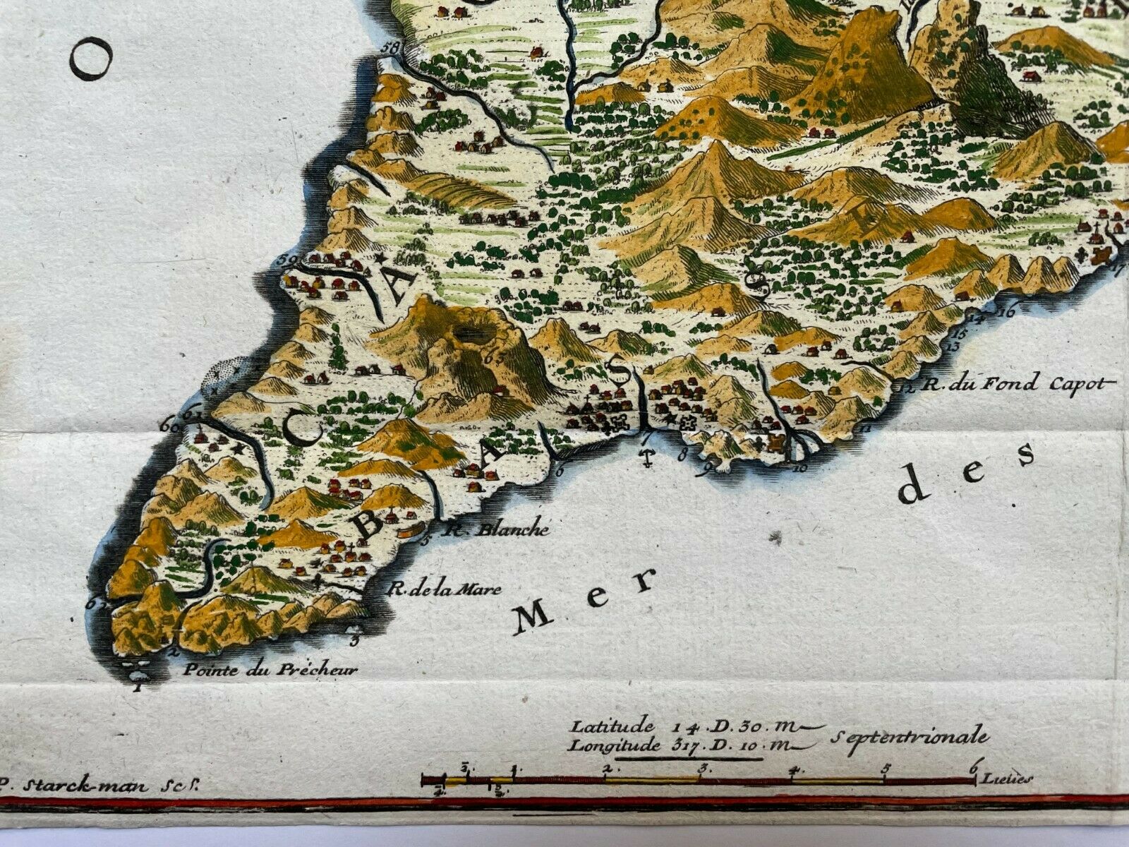
The map is engraved by Starckman.
North is oriented to the left.
De Fer has created this map when he was in service of the King of France Louis XIV.
Nicolas De FER (1646-1720) is one of the famous geographe of XVIIIe century. His earliest wellknown map of the canal de Languedoc, realised in 1669.
In 1697, he published his first world atlas.
In 1695, De Fer, with several other notable French mapmakers, became founding contributors to the French Bureau of Maps and Plans.
This bureau, created to deal with the technical and strategic problems of overseas commerce and exploration, was part of the Royal Academy of Sciences’ Ministry of the Navy and Colonies.
Size with margins :
37,7 x 28 cm / 14,5 x 11 inches
Condition :
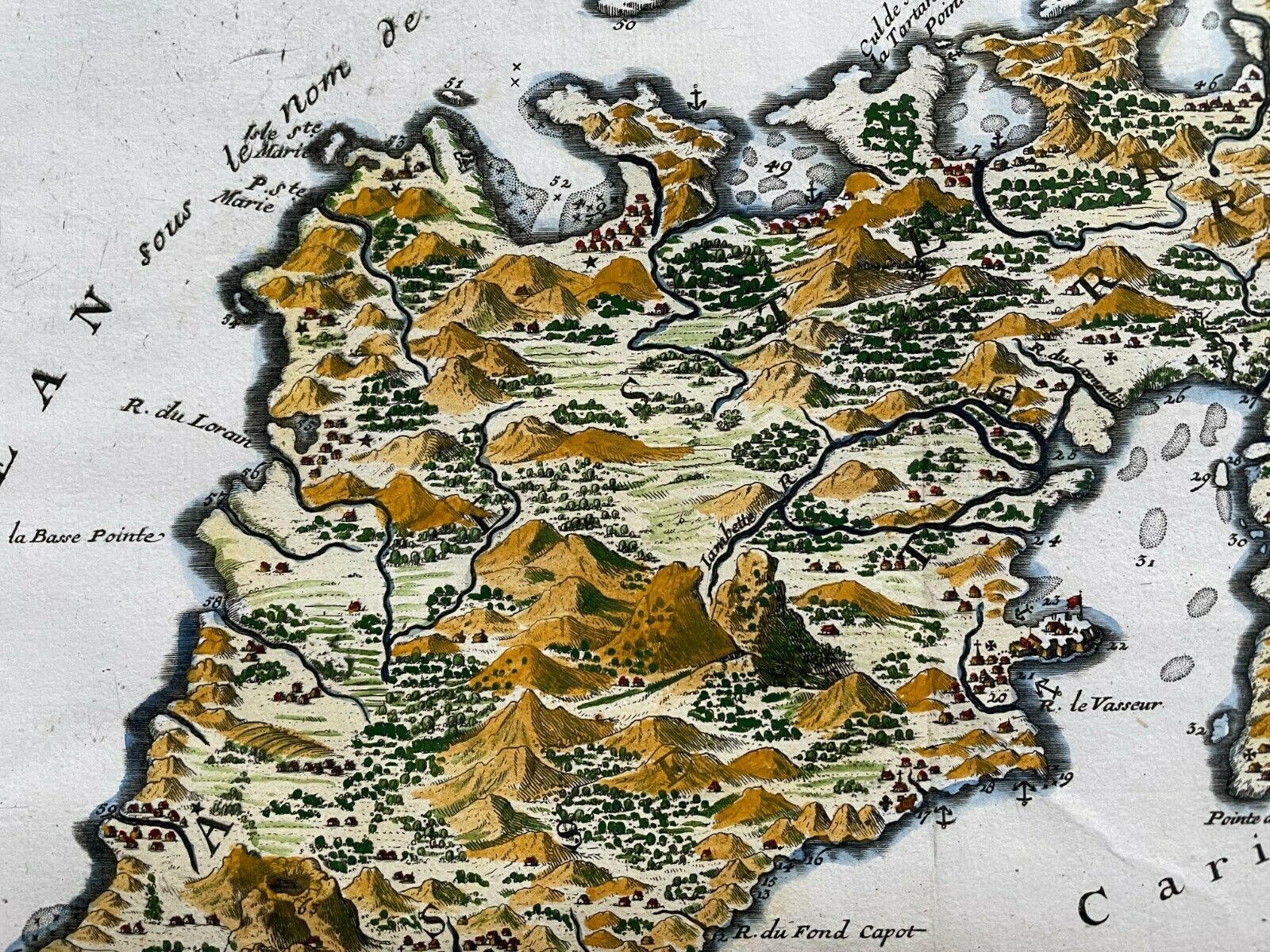
good condition, lower left margin clevrely extended, in colors.
Edition :
Paris, dated 1704, 18th century
If you buy more than one item, you have to pay just one only shipping cost.
We send maps by DHL.
WE DON'T SELL LASER AND COPIES MAPS, ALL WE SELL IS ORIGINAL AND ANTIQUE
Due to the age an type of paper, some imperfections are to be expected. Please examine the images provided carefully, and if you have any questions please ask and we will be happy to help you
