-40%
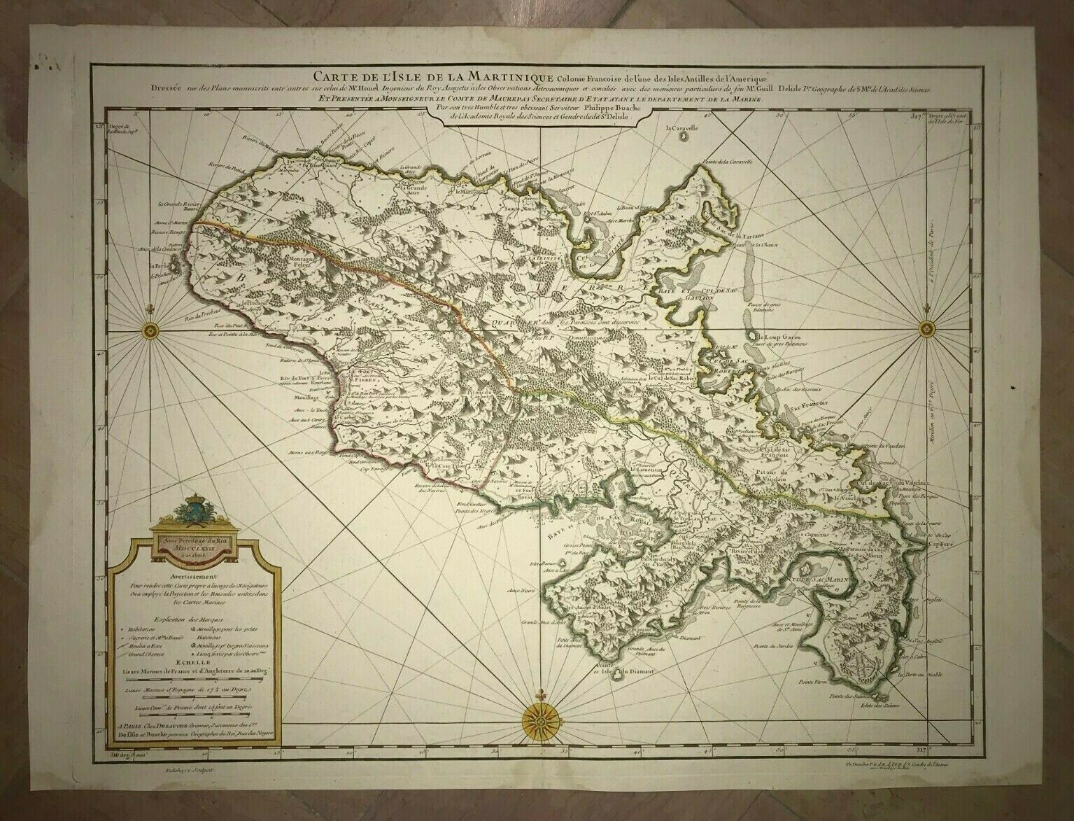
MARTINIQUE 1779 GUILLAUME DELISLE VERY LARGE ANTIQUE ENGRAVED MAP 18TH CENTURY
$ 237.6
- Description
- Size Guide
Description
Title of the map:"CARTE DE L'ISLE DE LA MARTINIQUE.... Par Mr Guill Delisle Premier Geographe du Roy, de l'Académie Rle des Sciences....."
"Avec Privilege du Roy MDCCLXXIX le 10 Octob"
"A PARIS CHEZ DEZAUCHE....
" Ph. Buache ...Gendre de l'Auteur Avec Privilege du Roi"
Very large and detailed antique copper engraved map of Martinique island (Lesser Antilles), by Guillaume Delisle (1675-1726), dated 1779.
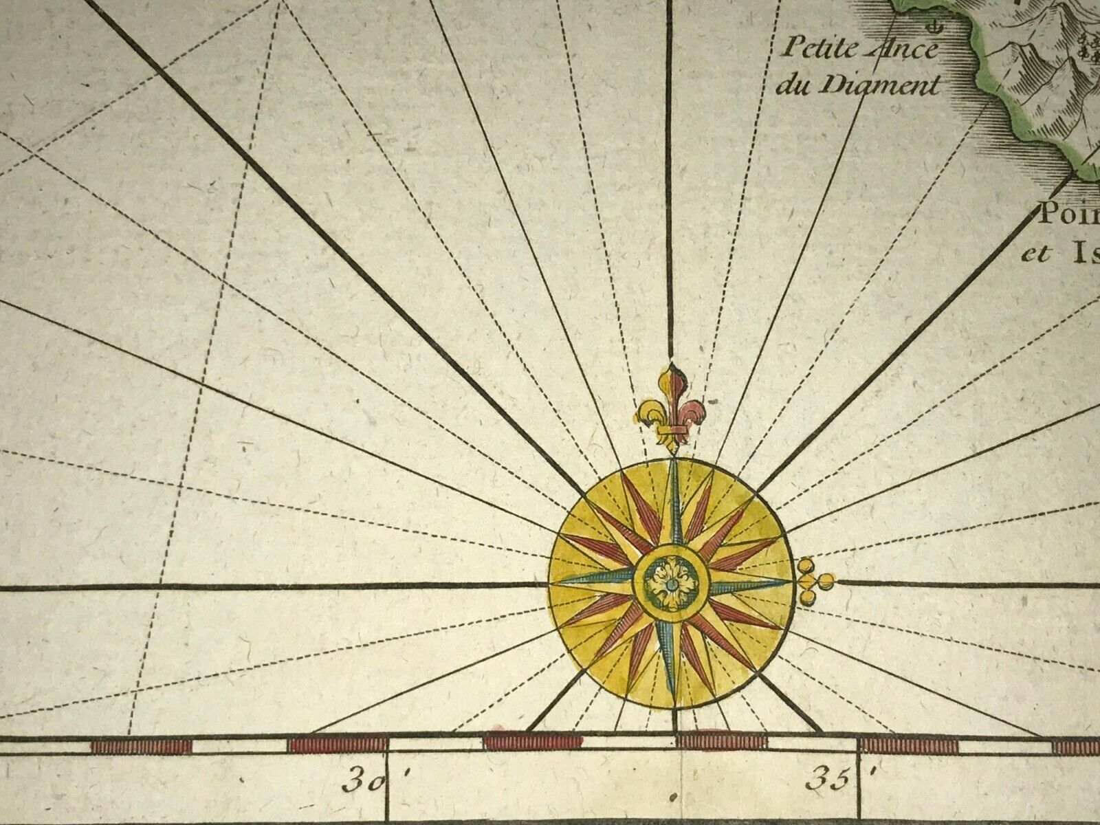
With a nice compass and a decorative cartouche.
Size with margins :
51,2 x 68,2 cm / 20 x 26,7 inches
Condition :
very good condition, on strong paper, in colors
.
Edition :
Paris, XVIIIe Century, dated 1779, edited by Dezauche & Buache.
If you buy more than one item, you have to pay just one only shipping cost.
All shipments are insured.
WE DON'T SELL LASER AND COPIES MAPS, ALL WE SELL IS ORIGINAL AND ANTIQUE
Due to the age an type of paper, some imperfections are to be expected. Please examine the images provided carefully, and if you have any questions please ask and we will be happy to help you


