-40%
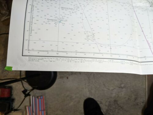
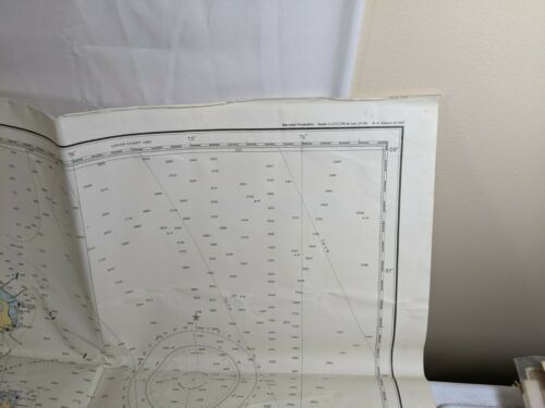
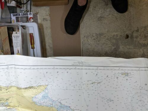
Large Vintage Florida Map Stamped 1950 Coast Guard Made in USA
$ 10.56
- Description
- Size Guide
Description
Vintage Florida and Cuba Map. Says it was published in 1948 by the US Coast and Geodetic Survey. Stamped March 20, 1950. Nice display piece shows cool period of US-Cuba history, judge from the photos as to condition. Roughly 44"x32".I will ship this between two pieces of cardboard in a padded envelope.

