-40%
Isles de Saint Domingue ou Hispaniola Old map Vaugondy 1757 | West Indies Maps
$ 203.28
- Description
- Size Guide
Description
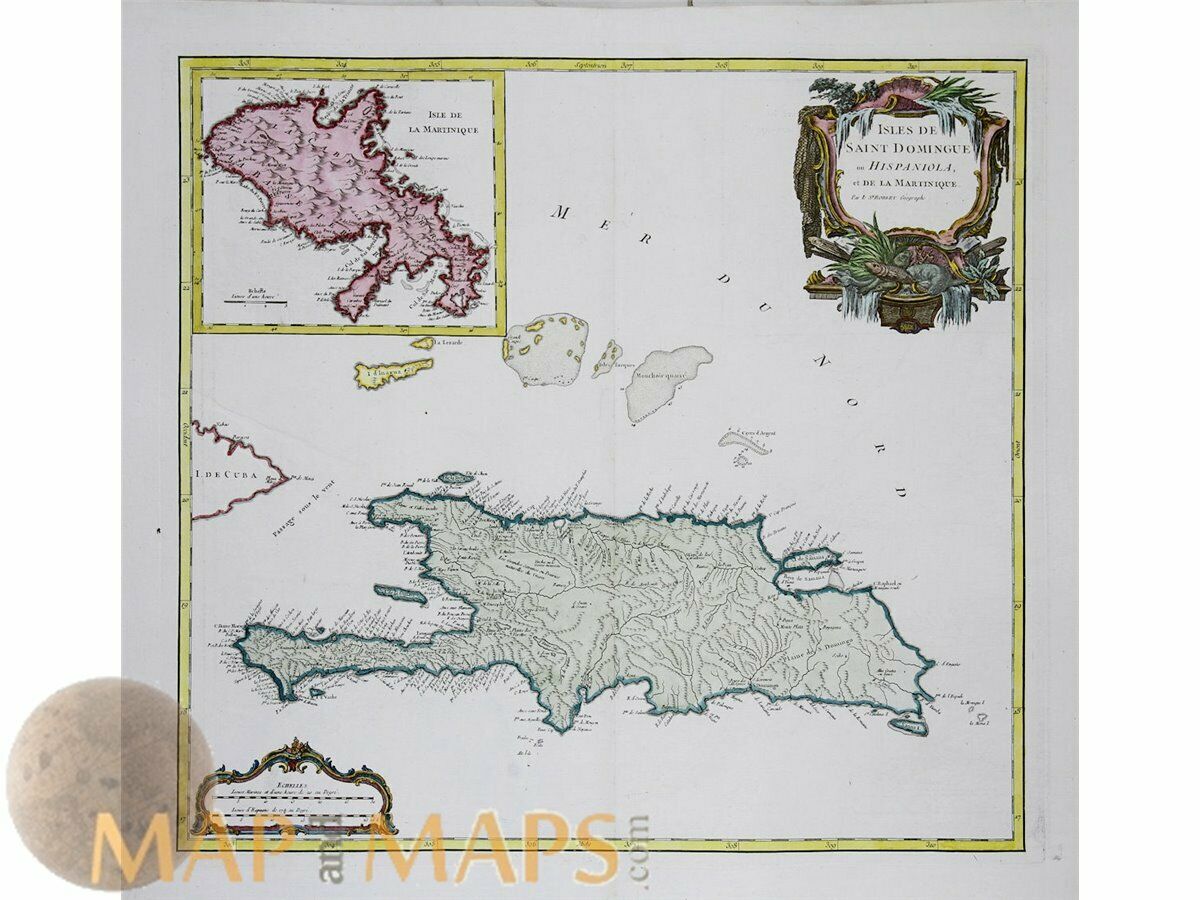
Isles de Saint Domingue ou Hispaniola Old map Vaugondy 1757Title: Isles de Saint Domingue ou Hispaniola et de la Martinique.
Description: Large copper map of the Caribbean Islands Saint Domingue on Hispaniola et la Martinique.
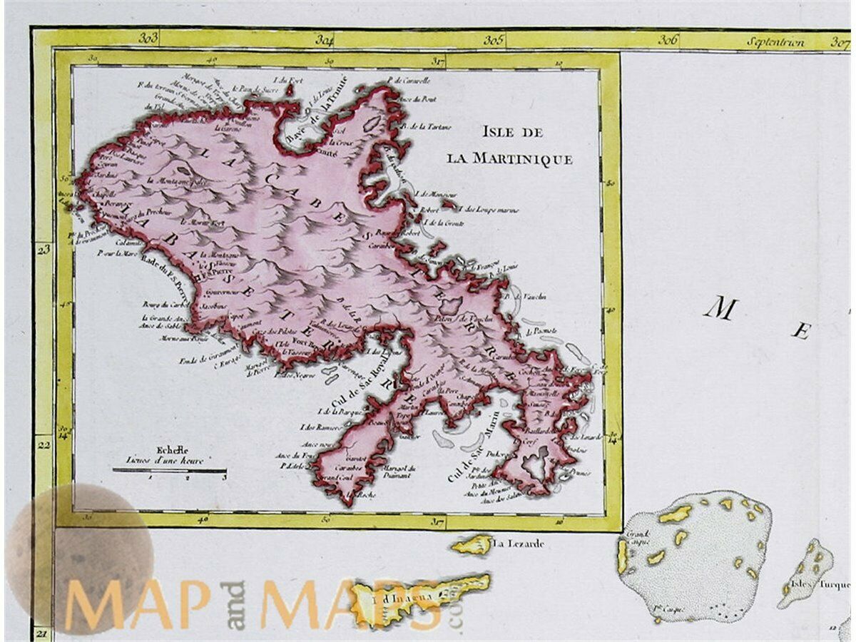
A inset map with the Island Martinique and below there the Bahamas islands, to the top right a highly decorative title cartouche and to the lower left a mile scale.
The map is copperplate engraved with hand coloring on hand made paper.
Mapmaker: Robert De Vaugondy.
Gilles Robert de Vaugondy (1688–1766), also known as Le Sieur or Monsieur Robert, and his son, Didier Robert de Vaugondy (c.1723–1786), were leading cartographers in France during the 18th century.
Publisher : Antoine Boudet Paris 1757.
The map was published in atlas Atlas Universel by Vaugondy.
16th -17th -18th-19th Century maps & atlases & prints.
We sell guaranteed Absolutely Original authentic Maps and Prints.
We ship our antique items across the world.
Sheet app.: 25 x 22 inches. 63.5 x 56 cm.
Image app:. 20.25 x 19.25 inches. 52 x 48.5 cm.
Condition: Excellent map, centerfold as published.
M
APandMAPs.
For the complete Map and Print collection see our online site.
Rare Cartography Collection of the World.
Always real antique maps - Always original - Never reproductions.


