-40%
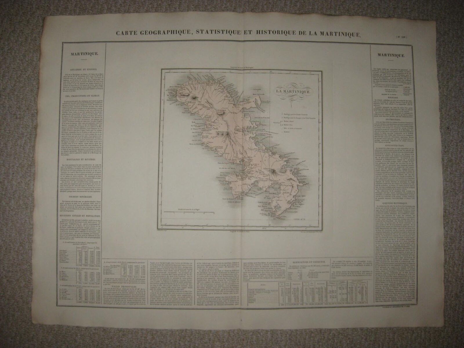
HUGE FOLIO ANTIQUE 1825 MARTINIQUE CARIBBEAN WEST INDIES CAREY & LEA HANDCLR MAP
$ 42.23
- Description
- Size Guide
Description
Rare, gorgeous, superb, large folio sized antique 1825 handcolored map , titled Carte Geographique, Statistique Et Historique De Martinique. A important and rare masterpiece of cartography. Superbly printed, on very thick fine rag like paper. Important, rare and detailed period map of Martinique. This is an antique 1825 handcolored map and not a reprint or reproduction. The superb handcoloring is period to the map, this is before color printing. This is from the 1825 Buchon French edition of the legendary Carey & Lea American Atlas. Both atlases are extremely rare , important and impossible to find. Very fine and detailed period Brazil map. The text on the map itself is French. The French text is quite detailed as related to this area, very interesting period text. Printed at lower right hand side of the map is Grande par ALES Rue des Noyes, No 50 a Paris, and printed at lower right hand side is Fonderie et Imprimerie De J. Carez. Very finely produced, the paper is amazing, gorgeous thick rag type paper, highest quality paper, and very fine impression of the map, no printing on reverse. The map is in excellent condition, and would frame and display quite nicely. The size of the map , which includes text and margins is a large 21.5" by 28". Very rare. Winning bidder pays .50 shipping domestic, more foreign.Payment
I accept the following forms of payment:
PayPal
Shipping & Handling
US Shipping
.50 USPS First-Class Mail®
International Shipping
.00 USPS First-Class Mail International
FREE scheduling, supersized images
and templates. Get Vendio Sales Manager.
FREE scheduling, supersized images
and templates. Get Vendio Sales Manager.


