-40%
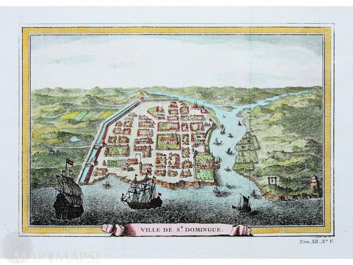
Haiti. Old town print St. Domingue West Indies Bellin 1754
$ 100.32
- Description
- Size Guide
Description
Haiti. Old town print St. Domingue West Indies Bellin 1754Title: Ville St. Domingue.
Description: Fine antique copperplate engraved print with hand coloring of Saint-Domingue or Santo Domingo, before the slave revolt in 1791.
The French had established themselves on the western portion of the islands of Hispaniola and Tortuga by 1659.
In the Treaty of Ryswick of 1697, Spain formally recognized French control of Tortuga island and the western third of the island of Hispaniola.
Copperplate engraving by Chedel, for Jacques Nicolas Bellin (1703 – 21 March 1772) As a contributor to the Encyclopedia, he wrote more than a thousand articles on maritime topics.
From 1721 he worked for the Dépot des Cartes et Plans de la Marine, from 1741 until his death as an engineer-hydrograph of the Navy.
In 1753 his atlas Neptune français, which covered all the coasts of France, was published, and in 1756 the hydrography Françoise covering all seas of the earth.
Authentic Antique Old Maps & Prints from the past
See our historic maps of the Centuries of the World continents.
16th -17th -18th-19th Century maps & atlases & prints.
We sell guaranteed Absolutely Original authentic Maps and Prints.
A Certificate of Authenticity ( COA ) will be supplied on request.
We ship our antique items across the world.
Size:
Sheet app.: 32 x 25 cm. 12.5 x 10 inches.
Image app.: 26 x 18 cm. 10.25 x 7 inches.
Condition: Fine hand colored engraving in very good condition. Folds as published.
M
apandMaps.
For the complete Map and Print collection see our online site.
MapandMaps Cartography of the World.
Always real antique maps - Always original - Never reproductions.
Europe buyers; we accept payment in Euro.


