-40%
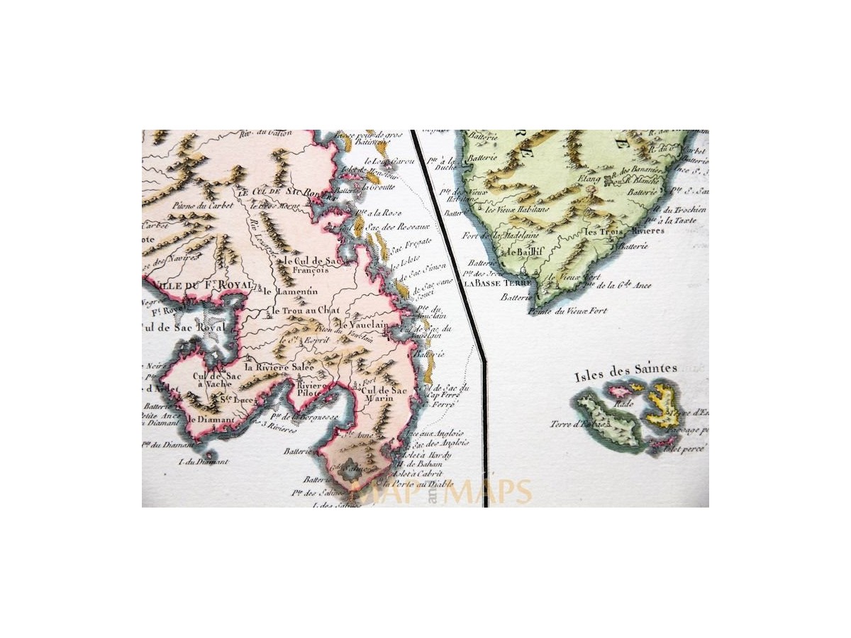
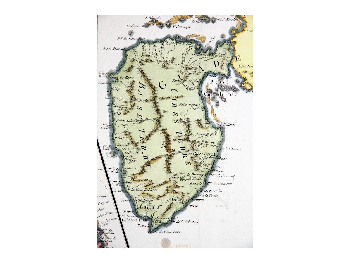
Guadeloupe Martinique map Isle de la Martinique Bonne 1787
$ 97.68
- Description
- Size Guide
Description
Guadeloupe Martinique map Isle de la Martinique Bonne 1787Title: Isle de la Martinique par M. Bonne - Isles de la Guadeloupepar M. Bonne.
Description: Antique copperplate engraved map of the West Indies.
Origin: Atlas encyclopédique contenant lagéographie ancienne, etquelques cartes sur la géographie dumoyen age, la géographiemoderne by Rigobert Bonne and Nicolas Desmarest. Paris: 1787.
Cartographer: Rigobert Bonne (France, 1727–1795)
Royal Cartographer to France in the office of the Hydrographer at Depot de la Marine.
16th -17th -18th-19th Century maps & atlases & prints.
We sell guaranteed Absolutely Original authentic Maps and Prints.
A Certificate of Authenticity ( COA ) will be supplied on request.
We ship our antique items across the world.
Size:
Sheet app.: 47 x 32 cm. 18.5 x 12.5 inches.
Image app.: 34.5 x 23 cm. 13.75 x 9 inches.
Condition: Very good, folds as published.
M
apandMaps.
For the complete Map and Print collection see our online site.
MapandMaps Cartography of the World.
Always real antique maps - Always original - Never reproductions.
Europe buyers; we accept payment in Euro.


