-40%
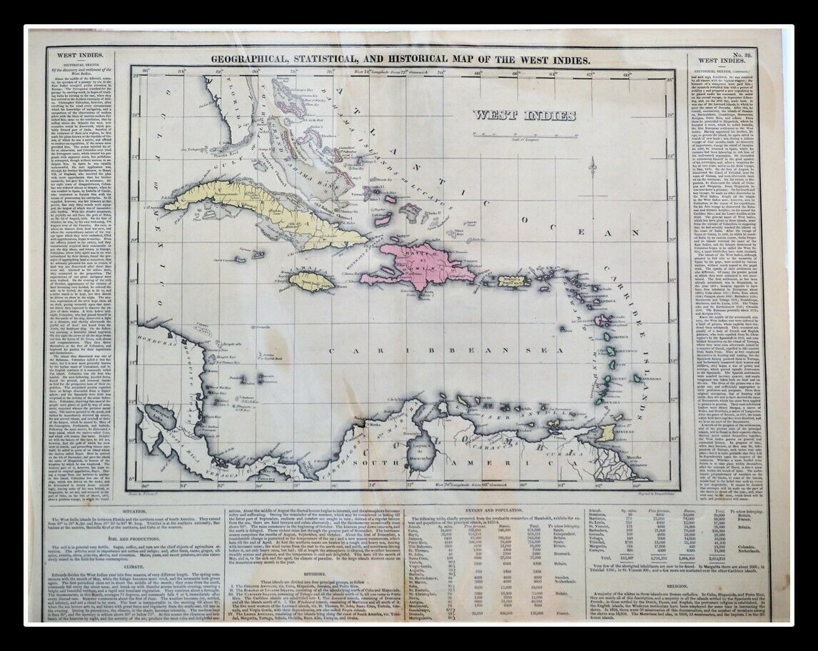
Geographical Statistical Historical Map The West Indies 1822 Lucas Hand-colored
$ 118.8
- Description
- Size Guide
Description
Geographical, Statistical, and Historical Map of The West IndiesPhiladelphia: Published by Carey & Lea. c.1822.
A map from Carey and Lea's A Complete Historical, Chronological, and Geographical American Atlas. One of the most detailed maps of the Bahama Islands to appear in a Commercial Atlas. Lengthy narrative text below includes details about the islands, climates, towns, soils, government and history of each.
Carey & Lea's Atlas is highly prized not only for its cartographic information but the marvelous information about each of the states and territories which is included. The atlas was issued in 6 editions in English, French & German between 1822 and 1827. Considered the best atlas of nineteenth century America.
The text describes the boundaries, climate, rivers, chief towns, civil divisions and population. The map was drawn by F. Lucas Jr. and engraved by Young & Delleker.
Antique hand colored engraved map Jamaica, Caribbean, from the Carey & Lea Atlas, surrounded by explanatory text, including information on geography, soil, climate, chief towns, commerce, religion, government, history. Extending from the Bahamas and Cuba to Trinidad and Tobago, and showing many towns. Page measures approx. 16.5 x 20.5 inches, map 11.5 xx 12 inches. A nice, bright impression with typical age toning.
Reference: P1373a; Howes C133, Rumsey
And Check out our
other items
!
Member of
ABAA
[American Booksellers Antiquarian Association]
FABA
[Florida Antiquarian Booksellers Association]
IOBA
[International Online Booksellers Association]
Pleased to present: Travel, Exploration and Geography; and books of Significance.


