-40%
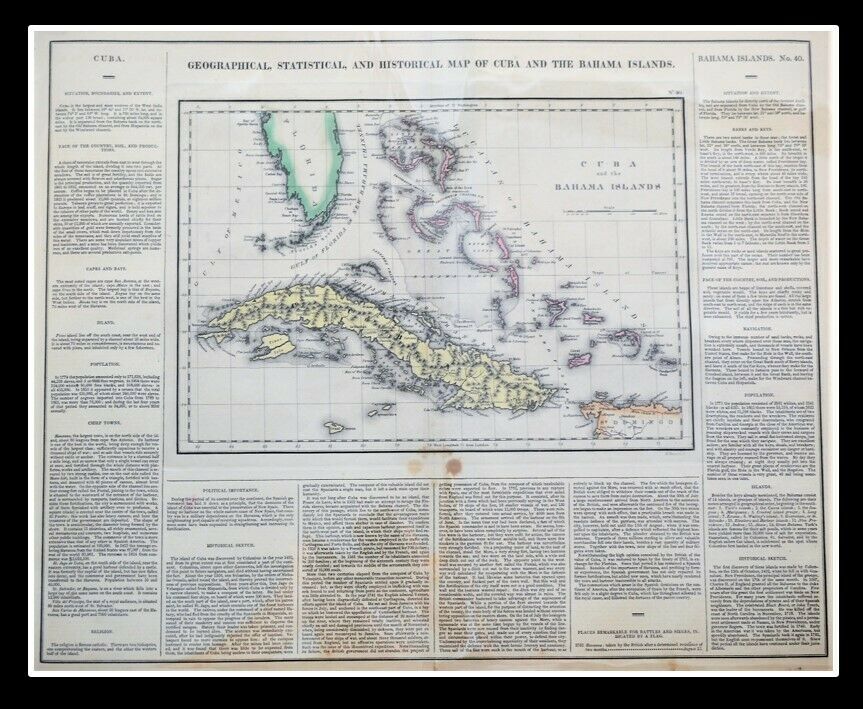
Geographical Statistical Historical Map Cuba Bahama Islands 1822 Hand-Colored
$ 118.8
- Description
- Size Guide
Description
Geographical, Statistical, and Historical Map of Cuba and The Bahama IslandsPhiladelphia: Published by Carey & Lea. c.1822. Hand-colored.
A map from Carey and Lea's A Complete Historical, Chronological, and Geographical American Atlas.
The map was drawn by F. Lucas Jr. and engraved by Young & Delleker.
16 1/2 x 20 1/2" (420 x 518 mm) including text, plus margins.
One of the most detailed maps of the Bahama Islands to appear in a Commercial Atlas. Lengthy narrative text below includes details about the islands, climates, towns, soils, government and history of each.
Carey & Lea's Atlas is highly prized not only for its cartographic information but the marvelous information about each of the states and territories which is included. The atlas was issued in 6 editions in English, French & German between 1822 and 1827.
A nice, bright impression with typical age toning two dark spots centered just below the map border.
The best atlas of nineteenth century America.
Publication Reference: P1373a; Howes C133, Rumsey; CM1794.
And Check out our
other items
!
Member of
ABAA
[American Booksellers Antiquarian Association]
FABA
[Florida Antiquarian Booksellers Association]
IOBA
[International Online Booksellers Association]
Pleased to present: Travel, Exploration and Geography; and books of Significance.


