-40%
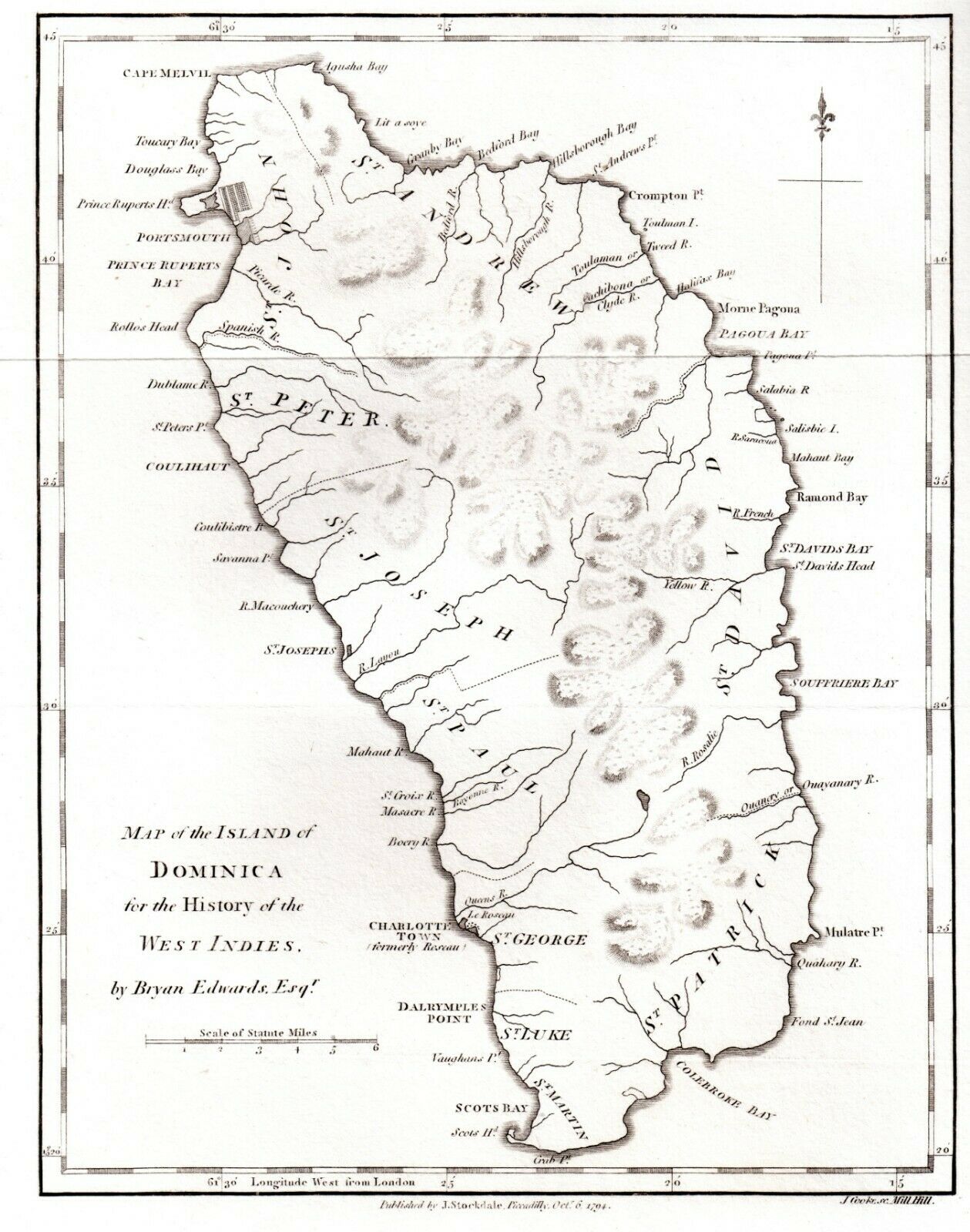
Early Map of Dominica Caribbean Sea Antique 1794
$ 44.88
- Description
- Size Guide
Description
Map of DominicaDominica is an island in the Caribbean Sea, located about halfway between the French islands of Guadeloupe and Martinique.
Superb Antique engraved map on quality paper
Total size approx 9 x 11 inches (23 x 27cm)
Engraver J.Cooke
Published by: John Stockdale, London 1794
for Mr Edwards's Civil and Commercial  History of the British West Indies
Condition: Good with original margins & platemark
original folds as issued
The map was commissioned by Bryan Edwards (1743-1800) a wealthy merchant living in Jamaica, for inclusion in his history of the West Indies titled “The History Civil and Commercial of the British Colonies
This map is over 100 years old and in good condition with margins. It would frame up easily into an excellent decorative and valuable collectors piece.
This map is sold unframed and unmounted. Some items may have the odd small mark or tear in the margins but the engraved surfaces are in good condition. Most maps have a fold or joint in the centre, this is easily hidden when framed.
*Scans shows the actual item for sale*
stk.11


