-40%
Colonies Francaises Martinique America Levasseur 1861 | Caribbean Islands Maps
$ 113.52
- Description
- Size Guide
Description
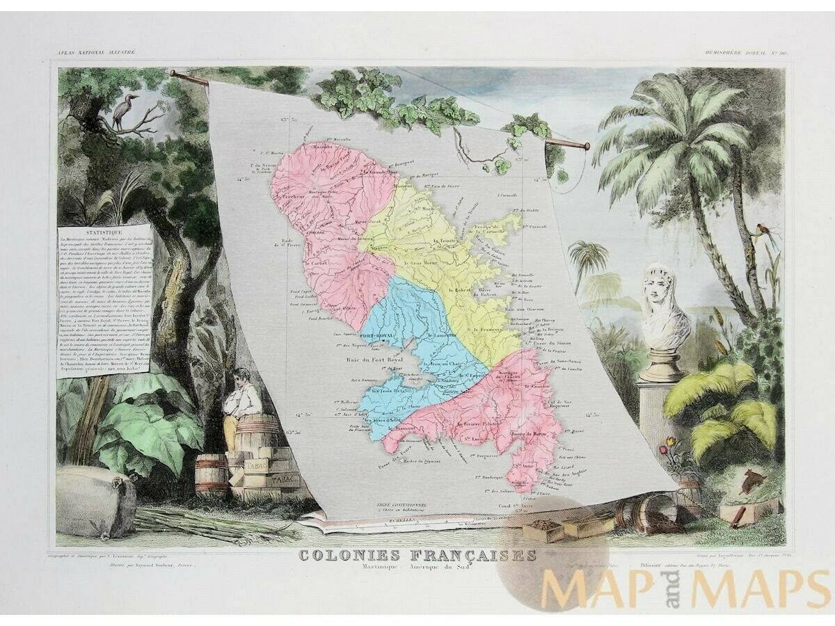
Colonies Francaises Martinique America Levasseur 1861Title: Colonies Francaises Martinique America du Sud.
Description: Decorative antique map of the French colonies, islands Martinique Caribbean.
All hand colored and taken from Atlas National Illustré.
The map is illustrated by Raymond Bonheur and engraved by Laguillermie Paris.
The map is surrounded with imagination of landscapes, animals, people and exotic plants.
At left of the map a statistic inlay of Martinique.
From:
Atlas National Illustre des 89 Departements et des Possession de France
V. Levasseur
Pelisseur editeur Paris 1861.
Victor Levasseur.
"Atlas National Illustré", published Paris 1856
Atlas National Illustré printed about twenty times between 1842 and 1872 by three different Parisian publishers : Binet ( 1842-1844 ) , Amable Combette (from 1843 to 1858 , as shown on a random 15, rue La Parcheminerie ) , and after its bankruptcy Pelissier (1859 -1872 ).
Authentic Antique Old Maps & Prints from the past
See our historic maps of the Centuries of the World continents.
16th -17th -18th-19th Century maps & atlases & prints.
We sell guaranteed Absolutely Original authentic Maps and Prints.
A Certificate of Authenticity ( COA ) will be supplied on request.
We ship our antique items across the world.
Size:
Sheet app.: 51.5 x 38 cm. 20 x 14.75 inches.
Image app.: 42 x 28 cm. 17 x 11 inches.
Condition: View overall very good, verso Blanco.
M
APandMAPs.
For the complete Map and Print collection see our online site.
Early Cartography of the World.
Always real antique maps - Always original - Never reproductions.


