-40%
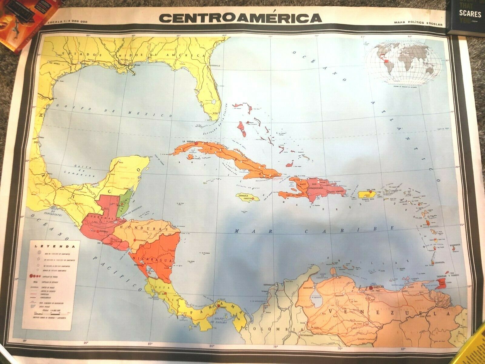
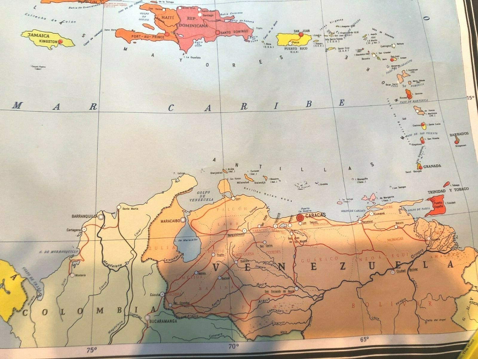
Central American map printed in Cuba 1982 good condition
$ 10.56
- Description
- Size Guide
Description
Central American map printed in Cuba 1982 good conditionCentroAmerica map Politico escolar
Multicolor. Good condition, very slight corner and edge wear.
35” high, 45” wide
Shows all the island nations and full borders of Guatemala, Honduras, Belize, El Salvador, Costa Rica, Panama, and partial borders of Colombia, Venezuela, Mexico and US.
Printed by the Instituto Cubano de Geodesia Y Cartografia in 1982


