-40%
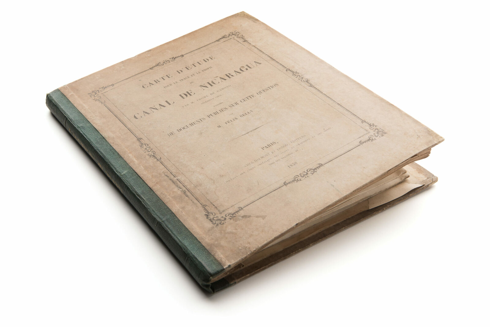
Carte d’étude pour le tracé et le profil du canal de Nicaragua par M. Thomé
$ 1510.08
- Description
- Size Guide
Description
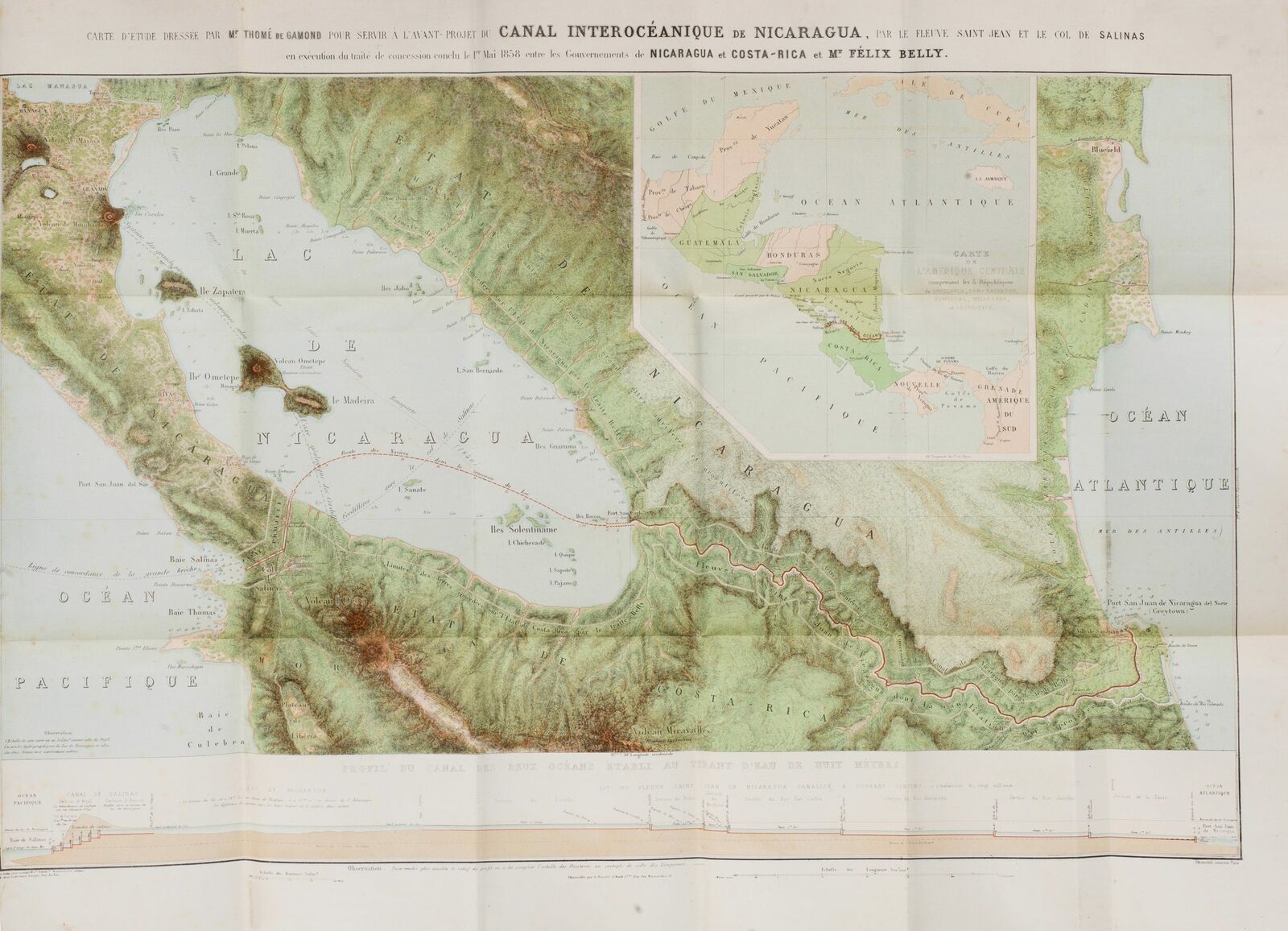
Rare – the first serious and detailed published proposal for an interoceanic canal across Nicaragua, with a magnificent, chromolithographed map.Title:
Carte d’étude pour le tracé et le profil du canal de Nicaragua par M. Thomé
Identifier:
NL-00430
WE SELL ONLY ORIGINAL ANTIQUE MAPS -- NO REPRODUCTIONS
Description
This fascinating and historically important work is the first serious, detailed published proposal to build an interoceanic canal across Nicaragua, illustrated by a large and magnificent original map. The dream to build a navigable route across the isthmus of Central America, so connecting the Atlantic with the Pacific oceans, is almost as old as the European presence in the Americas itself. The Panama Canal, completed in 1914, is so ingrained in present-day thinking that it may surprise some to learn that during much of the second half of the 19th century, Nicaragua was considered to be a far more promising location for an interoceanic route than Panama. While proposals had been explored from the 16th century onwards, it was only in the late 1850s that the first technically credible proposal to construct the canal was published. The proposal was compiled by the French duo of Félix Belly, an impresario and journalist, and Thomé de Gamond, an eccentric and brilliant engineer.
We are excited to offer the rare original publication for sale.
Condition description:
Collation Complete: 90 pp., 1 f., plus 1 large folding chromolithographed map mounted upon original linen (71 x 96 cm; 28 x 38 in), all bound in original boards with pastedown title and advertisements, spine in original green cloth with gilt title. Map is generally bright and clean; some text pages with light foxing; covers with some shelf-ware, overall an attractive example.
Dimensions:
4°; 28 x 23 cm (11 x 9 in)
Shipping
FedEx Ground or Home Delivery (25 USD): USA Only. 1 - 10 days. If your address is a P.O. Box and cannot ship FedEx we will ship USPS Priority and, while we ship promptly, recent postal personnel cutbacks mean that delivery may take time. Signature Required.
FedEx International or DHL International EXPRESS (45 USD)
Payments
We accept the following payment methods:
Paypal
Visa
Please contact us if you have any questions
Terms of service
Customs:
International buyers are responsible for paying duty and taxes on delivery. DHL or FedEx will contact the buyer by telephone to arrange tax payment if it is levied. Duty varies by country and we cannot predict the amount you will be charged. Some countries are duty free, others are not. Typically, a customs duty and/or VAT tax will be assessed on all parcels to continental Europe. Sometimes duty or tax is due in China, but is seems very random. Hong Kong, Singapore, Korea, and Taiwan have never assessed duty on a map we shipped. Maps shipped to the UK should be duty free as educational materials, but from time to time duty of 5% is assessed incorrectly by the UK customs agents.
Insurance:
All shipments are insured privately against loss and damage. All of our shipments require a signature for insurance purposes.
If you have any questions please feel free to email us through eBay. BEWARE anyone attempting to contact you, from a different eBay account, claiming to represent Neatline Antique Maps. My eBay handle is NeatlineMaps. If you are contacted by email by someone offering you my items, please call me directly to be certain you are not dealing with a con artist.


