-40%
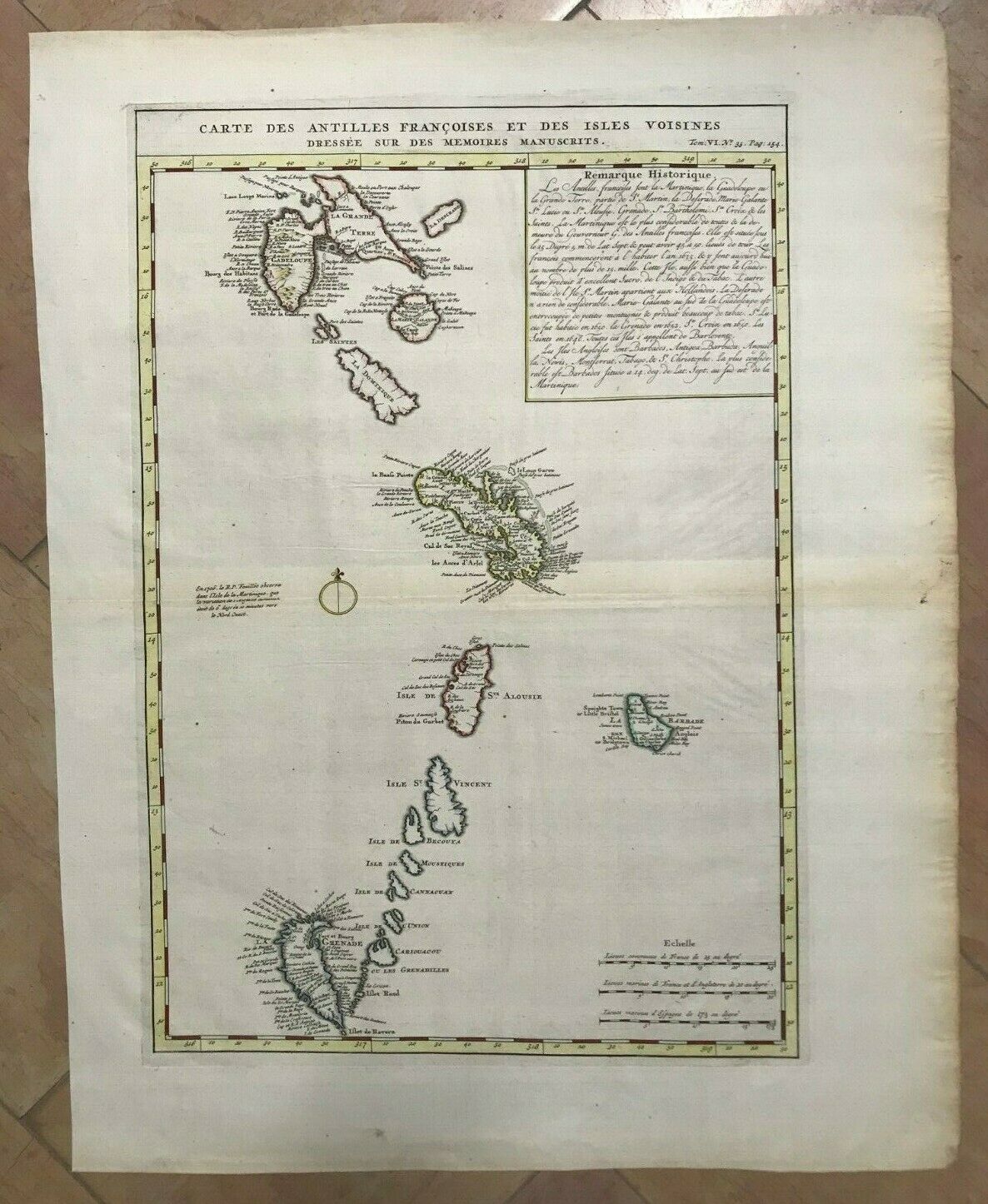
CARIBBEAN 1719 by HENRI CHATELAIN UNUSUAL LARGE ANTIQUE MAP 18e CENTURY
$ 211.2
- Description
- Size Guide
Description
Title of the map:"CARTE DES ANTILLES FRANCOISES ET DES ISLES VOISINES Dressée sur les Mémoires manuscrits"
Large and unusual copper engraved map of Caribbean, by Henri Abraham CHATELAIN (1684-1743).
Henri Abraham Chatelain (1684-1743) was a parisian Huguenot pastor.
His famous work is the "Atlas Historique", published in seven volumes between 1705 and 1720.
This encyclopedic work explains the history and the genealogy of the continents, with the geography, cosmography, topography, heraldry, and ethnography.
The text is from Nicolas Gueudeville, a French geographer.
Henri Chatelain represents the golden age of French cartography.
Edition :
Amsterdam,
1719, XVIIIe Century
Size with margins :
58 x 44,5 cm / 22,8 x 17,3 inches
Condition :
very good condition
, well engraved, large margins, in colors.
If you buy more than one item, you have to pay only one shipping cost.
All shipments are insured.
WE DON'T SELL LASER AND COPIES MAPS, ALL WE SELL IS ORIGINAL AND ANTIQUE
Due to the age an type of paper, some imperfections are to be expected. Please examine the images provided carefully, and if you have any questions please ask and we will be happy to help you.


