-40%
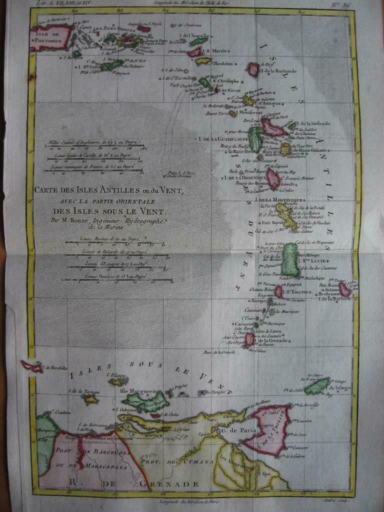
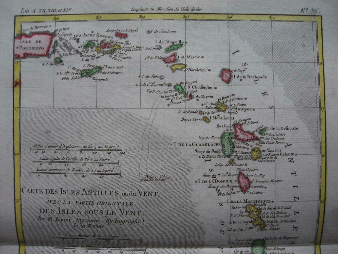
BONNE - Map WEST INDIES AND VIRGIN ISLANDS Isles Antilles ou du Vent c1780
$ 47.51
- Description
- Size Guide
Description
a.imagelink {color:#0000FF;} a:hover.imagelink {color:#0000FF;} a:visited.imagelink {color:#800080;} a.imagelink img.auctionimage { border: 2px solid #0000FF; } a:visited.imagelink img.auctionimage { border: 2px solid #800080; }An
ORIGINAL
18th century map
CARTE DES ISLES ANTILLES OU DU VENT,
AVEC LA PARTIE ORIENTALE DES ISLES SOUS LE VENT
by
Rigobert Bonne
(c1729-c1795), Royal Hydrographer
This map was part of
Atlas de toutes les parties connues du globe terrestre
Original 18th century copperplate engraved map
Printed on one side only (blank reverse)
Later hand coloring
Image size
8.3" x 12.7" (212 x 322 mm), plus margins.
Shipping / Handling
Priority airmail, tracking .00 (approx. 7/10 days)
Multiple items are shipped together
Payment method
PAYPAL only
***** Sorry for any inconvenience *****
ALL ITEMS ARE GENUINE
Thanks for interest
Images sell!
Get Supersized Images & Free Image Hosting
Attention Sellers - Get Templates
Image Hosting, Scheduling at Auctiva.com.
Track Page Views With
Auctiva's FREE Counter


