-40%
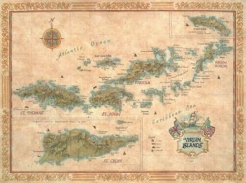
Antique Style Map of The Virgin Islands
$ 23.73
- Description
- Size Guide
Description
The U.S. Virgin Islands include St. Thomas, St. John and St. Croix.The Islands have a population of almost 100,000 and a total land area of 134 square miles.
Since 1923, their residents have been citizens of the United States.
Located about 70 miles east of Puerto Rico, the economy is based on tourism, rum, textiles, pharmaceuticals, and electronics.
The capital is Charlotte Amalie on St. Thomas.
The British Virgin Islands include Tortola, Virgin Gorda and Anegada with a combined population of 13,000.
This map measures 27” x 20”.
All of our antique style maps are printed on quality parchment paper and frame beautifully.
We can assure you that they are much more beautiful in person than we are ever able to show.
Listing and template services provided by inkFrog


