-40%
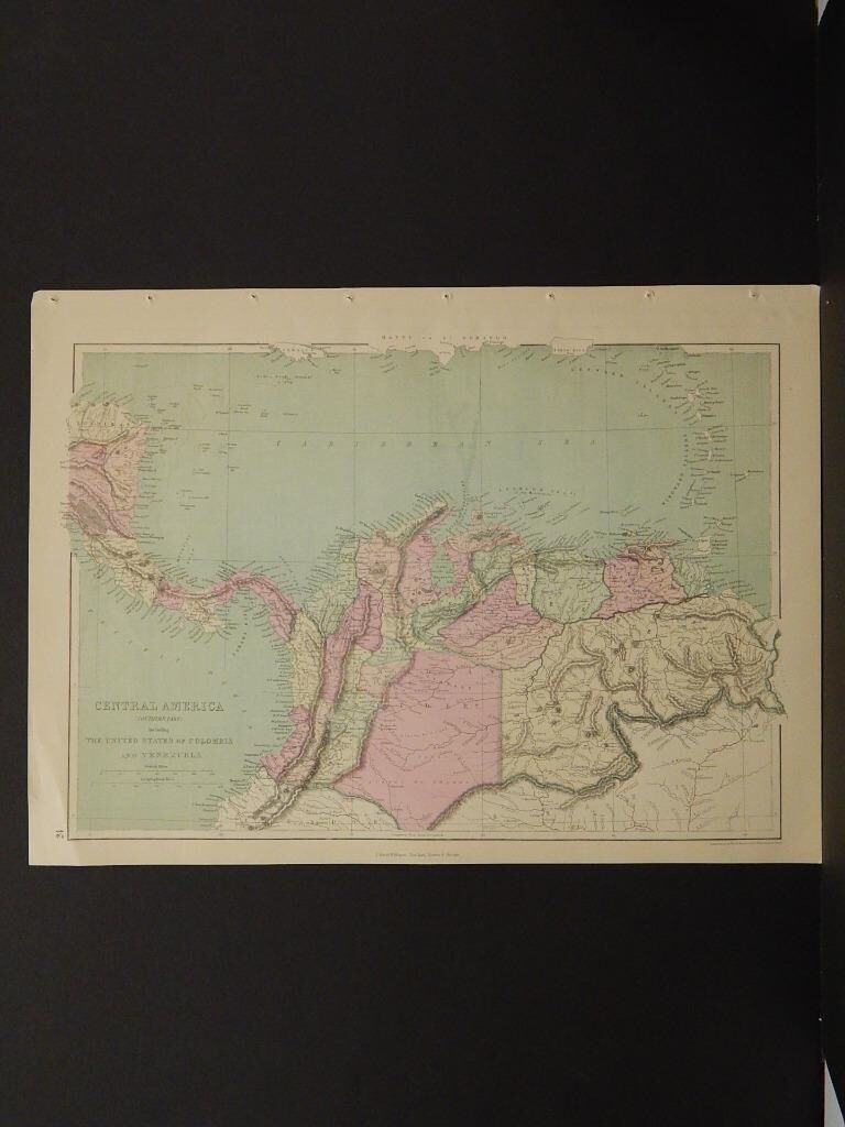
Antique Maps, 1873, Colombia, Venezuela, Central America R4#19
$ 15.81
- Description
- Size Guide
Description
Antique Maps, 1873, Colombia, Venezuela, Central America R4#19Description
Presented is an authentic, old map taken from a dis-bound atlas published in 1873 by J. David Williams. These maps are distinguished by their great detail and soft hand coliring, in particular is the pleasing sage green used to depict water. This will make a great addition to your collection.
Size is approximately 14.25 in by 19.5 in.
Yes, we do combine shipping!!
Payment
We accept payment through PayPal. Payment is expected within 3 days of auction end. We will combine shipping for items won within 5 days of the first.
Shipping
All items (total weight) under one pound ship via USPS First Class Mail.
Items over one pound will ship via USPS Priority Mail.
Most paper items are shipped rolled in a tube.
Any item total or greater will require insurance which will be added to your invoice.
Get Images that
Make Supersized Seem Small.
Auctiva's Listing Templates
improve your auctions in minutes.
Attention Sellers - Get Templates
Image Hosting, Scheduling at Auctiva.com.


