-40%
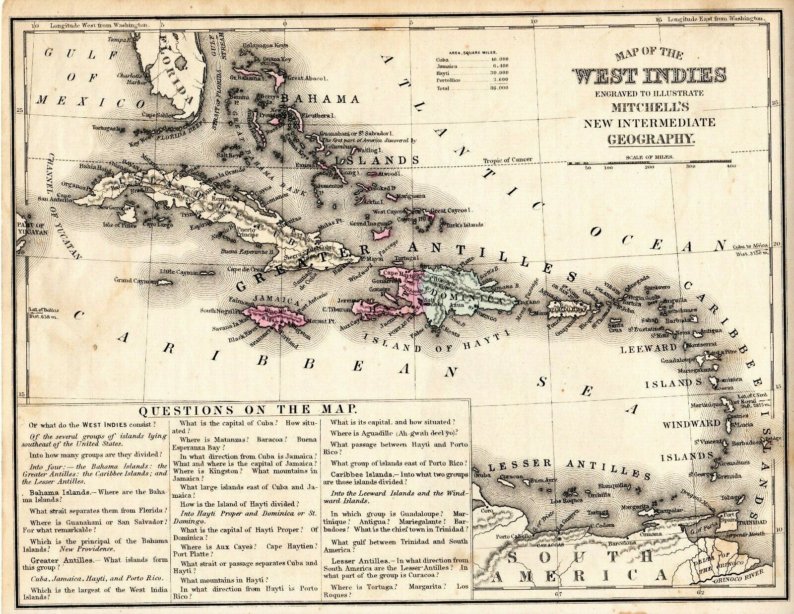
Antique Map Of The West Indies Mitchell's New Intermediate Geography 1870's
$ 7.36
- Description
- Size Guide
Description
You Are Buying OneAntique Map of The West Indies.
Mitchell's
New Intermediate Geography.
Jamaica, Cuba, Haiti, Puerto Rico, Dominica.
Circa 1870's.
Small stain at bottom, edge/corner wear, minor toning. See photos.
Great For Framing.
Approximately 11" W x 8-3/4" H.
The first photo is a photo of the map, the second photo is a photo of the rear of the map
.
I Combine Shipping On Domestic Map Orders.
You Must Request An Invoice Before Payment.
*International buyers
– please note: Import duties, taxes, and charges aren't included in the item price or postage cost. These charges are the buyer's responsibility. Please check with your country's customs office to determine what these additional costs will be prior to bidding or buying.
See photos of actual map you are buying.
I can provide additional photos if requested.
Please contact me with any questions or concerns before purchasing.


