-40%
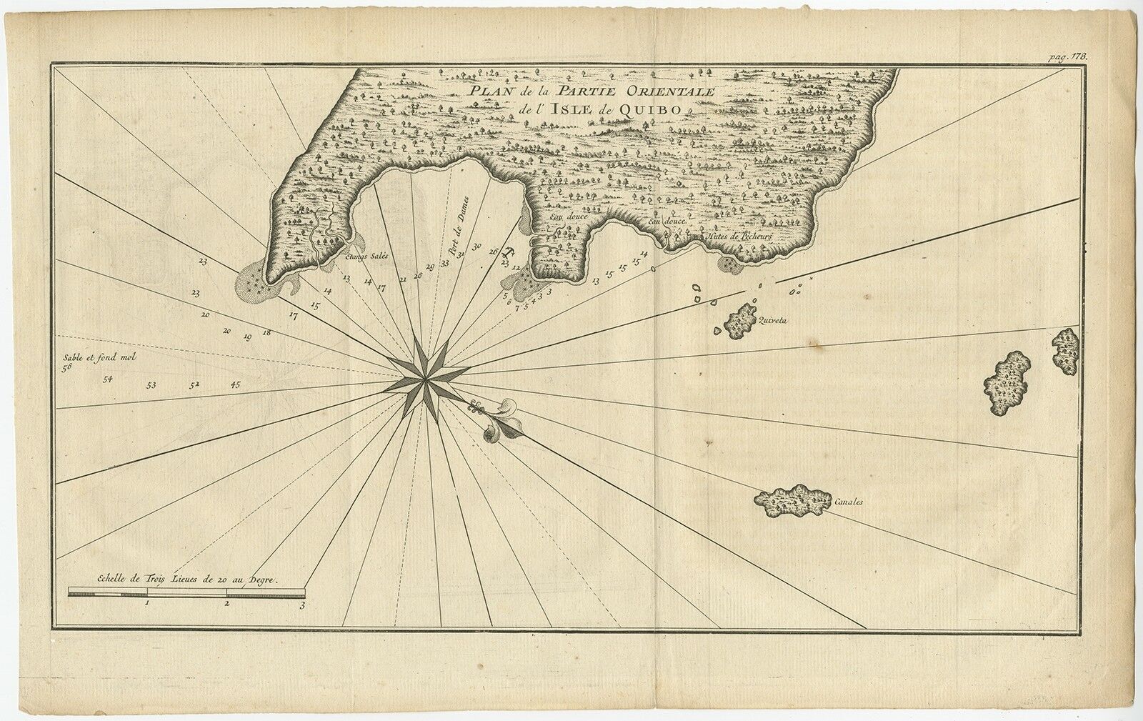
Antique Map of Coiba Island by Anson (c.1740)
$ 102.22
- Description
- Size Guide
Description
See our ratingsAdd this shop to my favorites
Antique Map of Coiba Island by Anson (c.1740)
$ 193.60
Availability:
in stock
Condition
: Very good, please study image carefully.
Date
: c.1740
Overall size
: 40.1 x 25.3 cm.
Image size
: 36.7 x 20.3 cm.
Description:
Antique map titled 'Plan de la partie orientale de l'Isle de Quibo'. Map of the eastside of Coiba Island (Quibo), Panama, showing the shoreline around Port de Dames indicating soft sand and mud, salt lagoons, fresh water, and fisherman's huts. Also marked are the islands of Quiveta and Canales. Source unknown, to be determined.
Artists and Engravers:
George Anson, 1st Baron Anson PC, FRS, RN (1697 -1762) was a British admiral and a wealthy aristocrat, noted for his circumnavigation of the globe and his role overseeing the Royal Navy during the Seven Years' War.


