-40%
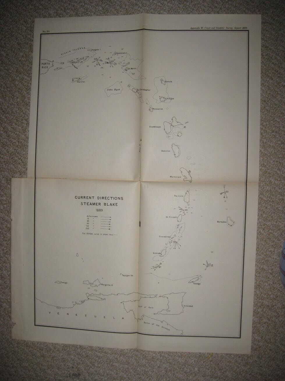
ANTIQUE 1889 PUERTO RICO VIRGIN ISLANDS CARIBBEAN BARBADOS ISLAND MARITIME MAP
$ 8.44
- Description
- Size Guide
Description
Rare, antique 1889 map, titled Current Directions Steamer Blake, 1889. The map is also dated at upper right hand side, 1889. Fascianting period map of Porto Rico, now Puerto Rico, Virgin Islands, Guadeloupe, Martinique, St. Martinand much more. The map has a light library embossing on it. Rare. The size of the map is 16.5" by 22.5". Winning bidder pays .50 shipping domestic, more foreign.Payment
I accept the following forms of payment:
PayPal
Shipping & Handling
US Shipping
.50 USPS First-Class Mail®
International Shipping
.00 USPS First-Class Mail International
FREE scheduling, supersized images
and templates. Get Vendio Sales Manager.
FREE scheduling, supersized images
and templates. Get Vendio Sales Manager.


