-40%
Antilles West Indies Old map La Mer Du Nord Vaugondy 1750 | Caribbean Maps
$ 203.28
- Description
- Size Guide
Description
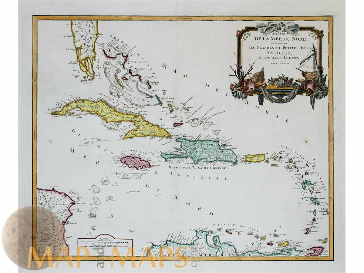
Antilles West Indies Old map La Mer Du Nord Vaugondy 1750Title: Partie De La Mer Du Nord, ou se trouvent Les Grandes Et Petites Antilles, Et Les Isles Lucayes . . . par le Sr Robert.
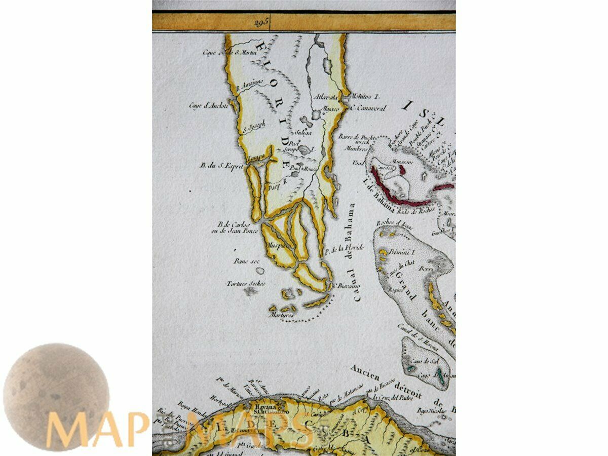
A large antique map of the Antilles and southern Florida.
The map shows the Greater Antilles, includes the larger islands of Cuba, Jamaica, Puerto Rico, Hispaniola (subdivided into the nations of Haiti and the Dominican Republic) and the Cayman Islands.
The Lesser Antilles contains the northerly Leeward Islands and the southeasterly Windward Islands.
The Leeward Antilles just north of Venezuela and the Lucayan Archipelago.
Cartographer: Gilles Robert de Vaugondy (1688–1766), also known as Le Sieur or Mon-sieur Robert, and his son, Didier Robert de Vaugondy (c.1723–1786), were leading cartographers in France during the 18th century.
Size:
Sheet app.: 26.25 x 22 inches. 67 x 56 cm.
Image app: 23.5 x 19.25 inches. 59.5 x 48 cm.
Condition: Overall very good.
M
APandMAPs.
For the complete Map and Print collection see our online site.
Early Cartography of the World.
Always real antique maps - Always original - Never reproductions.


