-40%
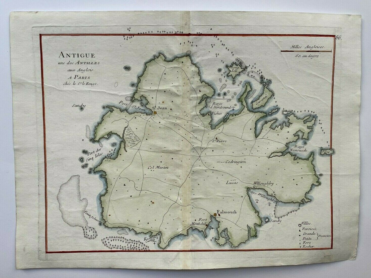
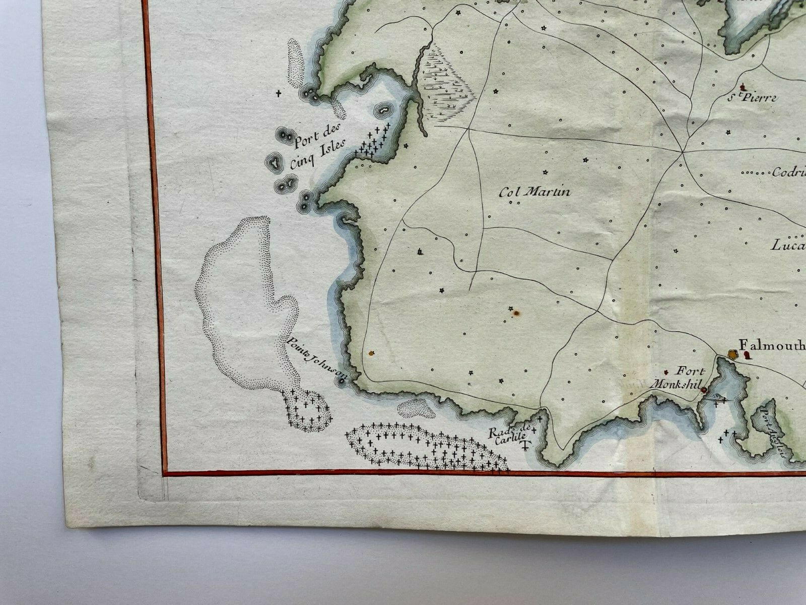
ANTIGUA 1746 by LE ROUGE ANTIQUE COPPER ENGRAVED MAP 18e CENTURY
$ 58.08
- Description
- Size Guide
Description
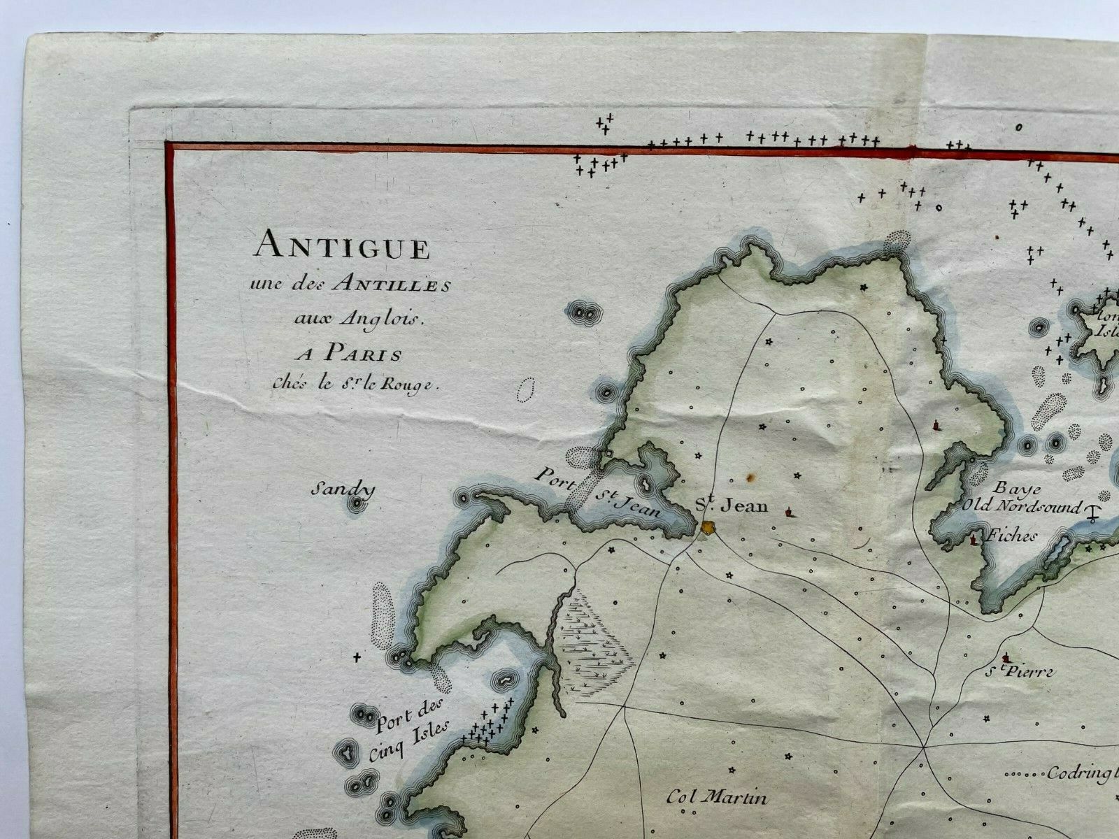
Title of the map:"ANTIGUE une des ANTILLES aux Anglois A Paris Chez le Sr le Rouge"
Antique copper engraved map of Antigua, by
Georges-Louis Le Rouge (1707-1790).
Georges-Louis Le Rouge was one of the most important geographes of this period. He was born in Germany and went in France in 1738.
Size with margins :
23,5 x 32,5 cm / 9 x 12,5 inches
Condition :
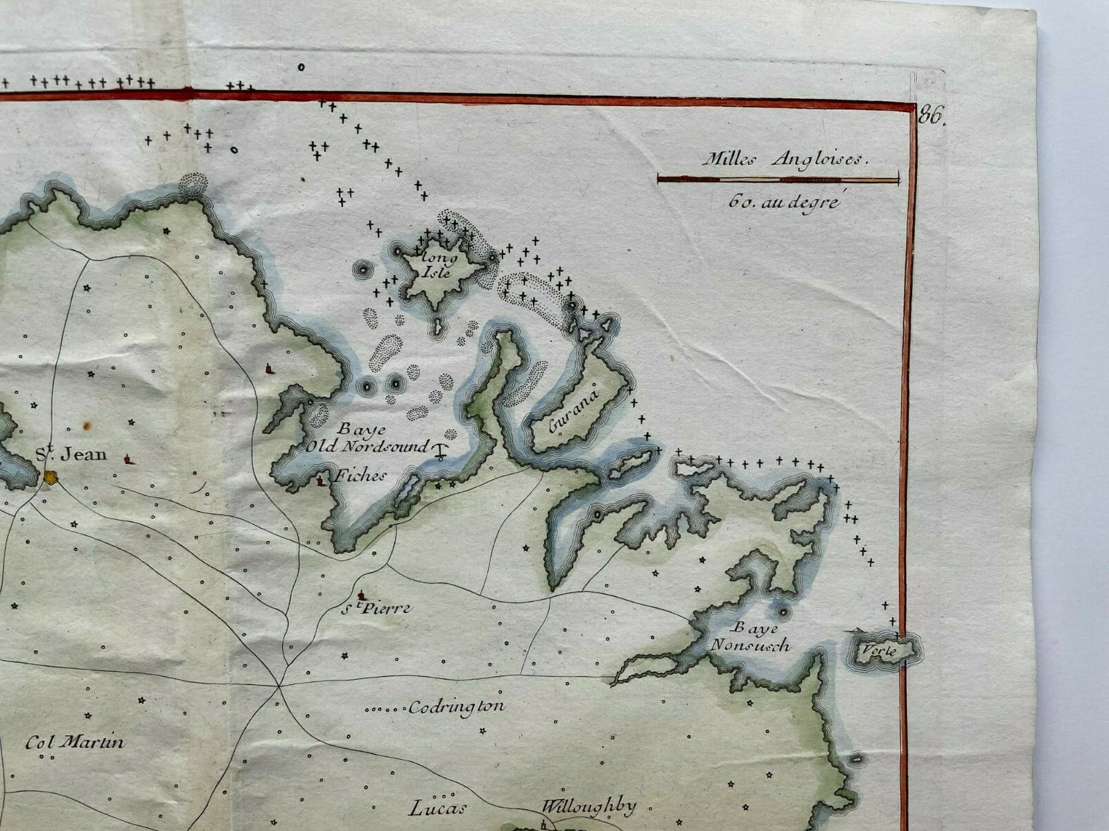
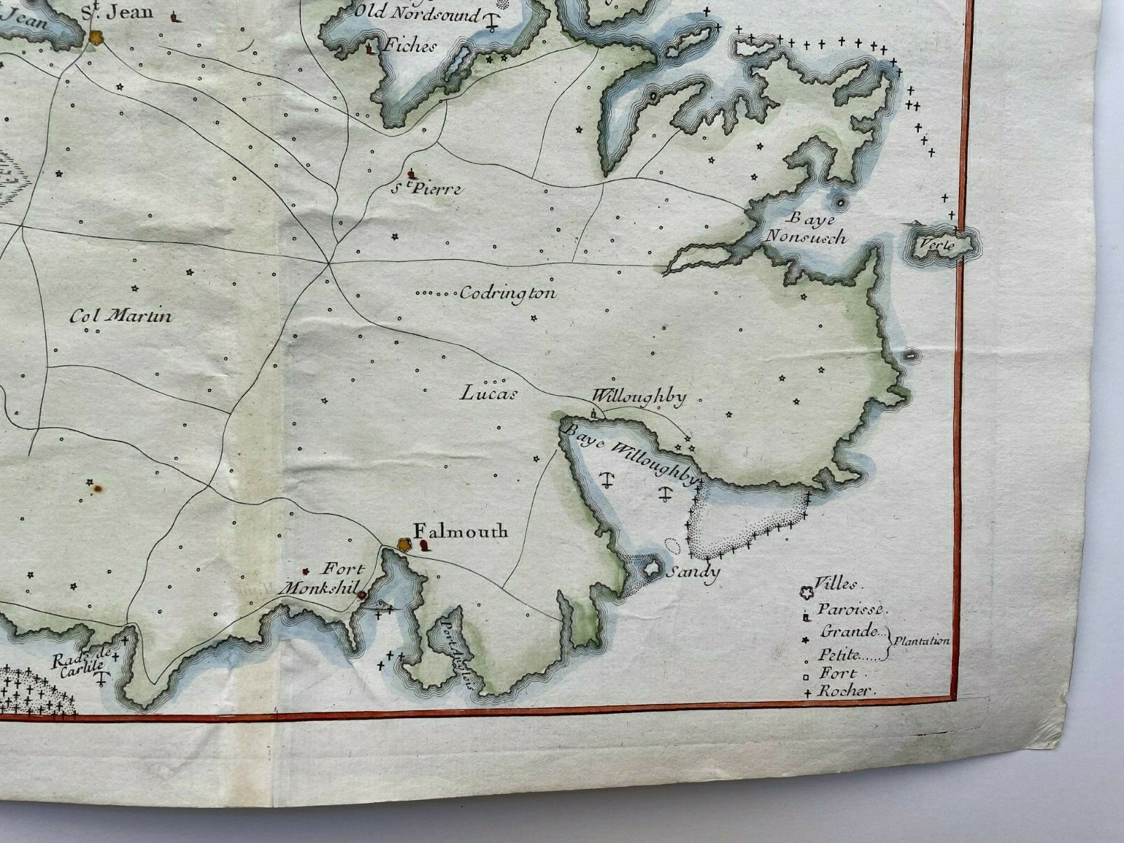
very good condition, old colors
.
Edition :
1746, Paris, 18th Century.
If you buy more than one item, you have to pay just one only shipping cost.
We send maps by DHL.
WE DON'T SELL LASER AND COPIES MAPS, ALL WE SELL IS ORIGINAL AND ANTIQUE
Due to the age an type of paper, some imperfections are to be expected. Please examine the images provided carefully, and if you have any questions please ask and we will be happy to help you
