-40%
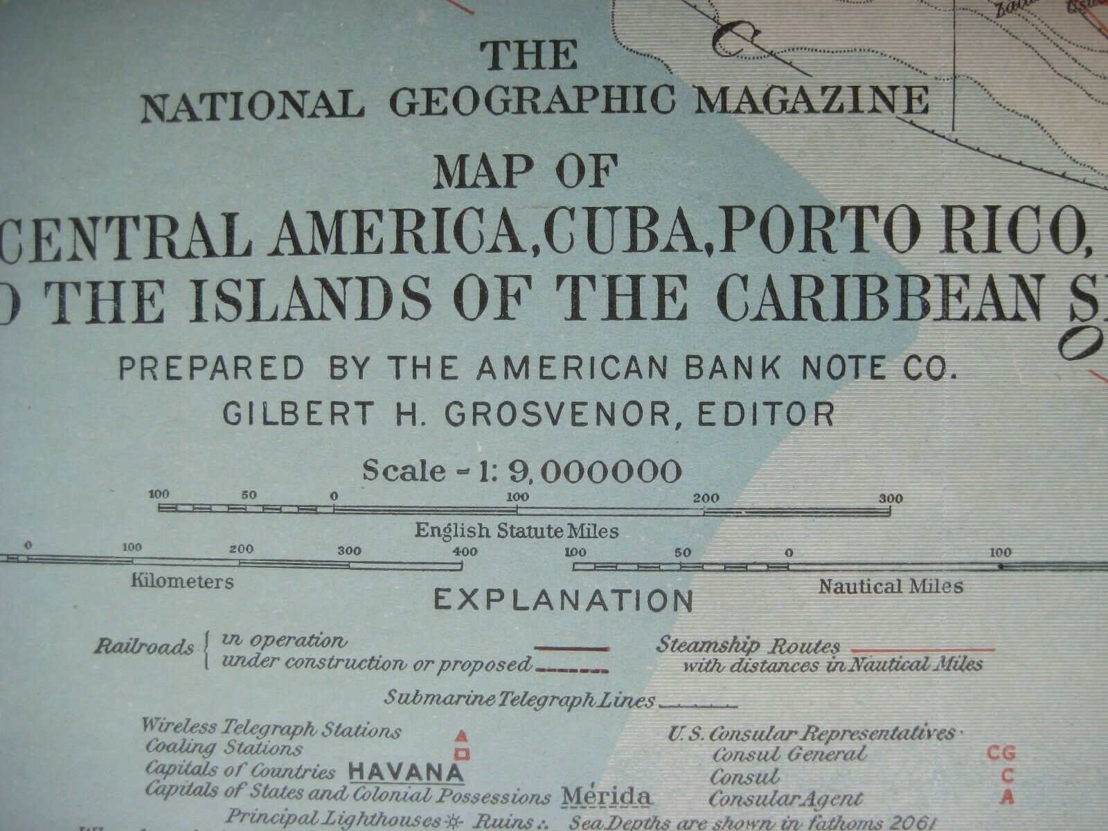
1913 Map CENTRAL AMERICA CARIBBEAN Panama Canal Steamship Route Coaling Stations
$ 18.47
- Description
- Size Guide
Description
Original color-lithographed fold-out map of Central America and the Caribbean, published in February 1913, one year before the opening of the Panama Canal.Details include steamship routes, with distances in nautical miles, submarine telegraph lines, railroads, lighthouses, coaling stations, and wireless telegraph offices.
The image area measures 31.7 x 48 cm [12½" x 19"], and the map is drawn on a scale of 1:9,000,000. Sea depths are shown in fathoms, and overlapping colors identify areas where political boundaries are under dispute.
It was prepared by the American Bank Note Company and published by the National Geographic Society, Washington, D.C.
Its full title is
Map of Central America, Cuba, Porto Rico, and the Islands of the Caribbean Sea.
The coverage area extends from San Antonio, Texas to British Guiana, with hundreds of place names, including Havana, Costa Rica, British Honduras (Belize), Florida, Nicaragua, Guatemala, Barbados, Haiti, Medellin, Barranquilla, Maracaibo, Guantanamo, Key West, New Orleans, San Salvador, Caracas, Puerto Rico, the Virgin Islands, Haiti, and Jamaica.
An inset at the upper right has a map and elevation view of the Panama Canal, with locks, dams, and delineation of the Canal Zone boundaries.
Condition:
This map is in very good condition, bright and clean, with
no
marks, rips, or tears. It has a few stray creases in the margins, and there's a short fold reinforcement on the reverse side. It is blank on the back, with no printing on the reverse side, and it folds to 9¼" x 6¼". Please see the scans and feel free to ask any questions.
This is an
original
, authentic 1913 National Geographic Society map,
not
a reproduction or modern reprint, and it is fully guaranteed to be genuine.
Buy with confidence! We are always happy to combine shipping on the purchase of multiple items — just make sure to pay for everything at one time, not individually.
Powered by SixBit's eCommerce Solution


