-40%
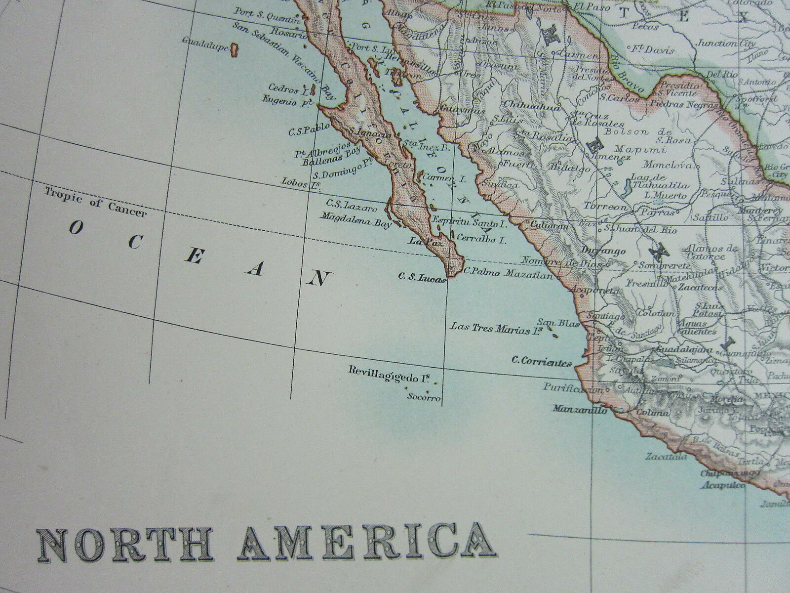
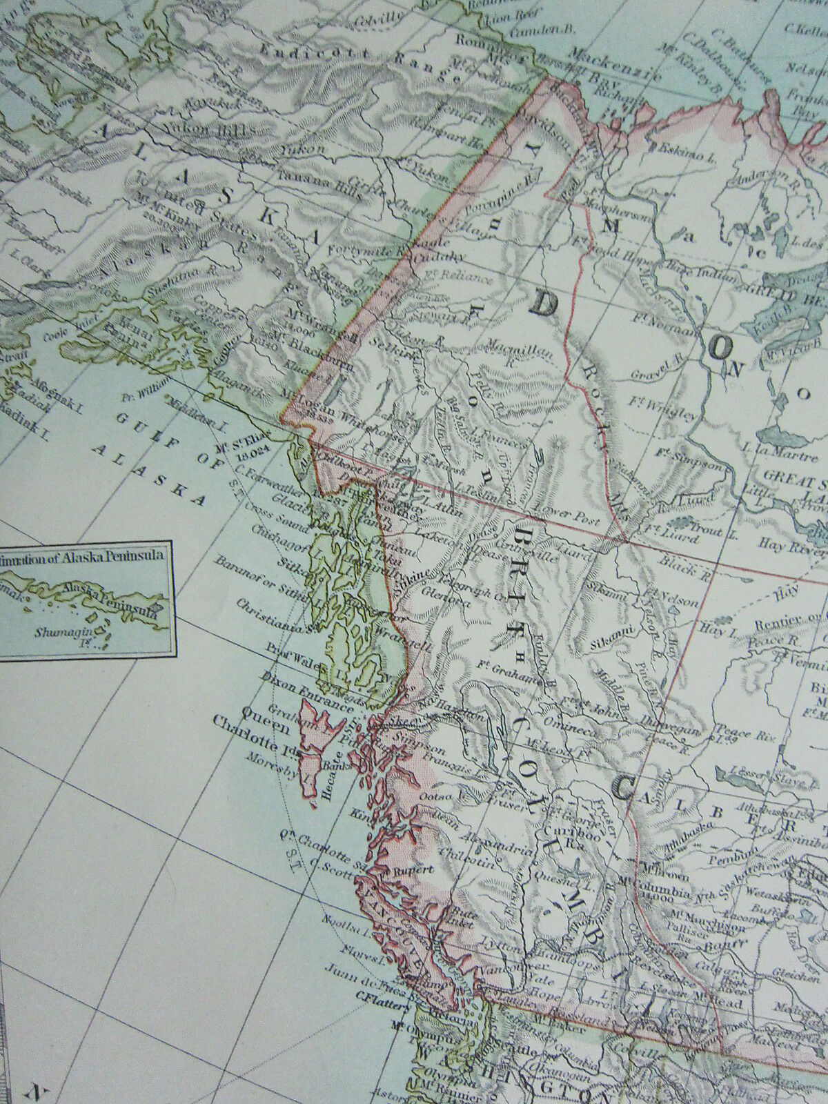
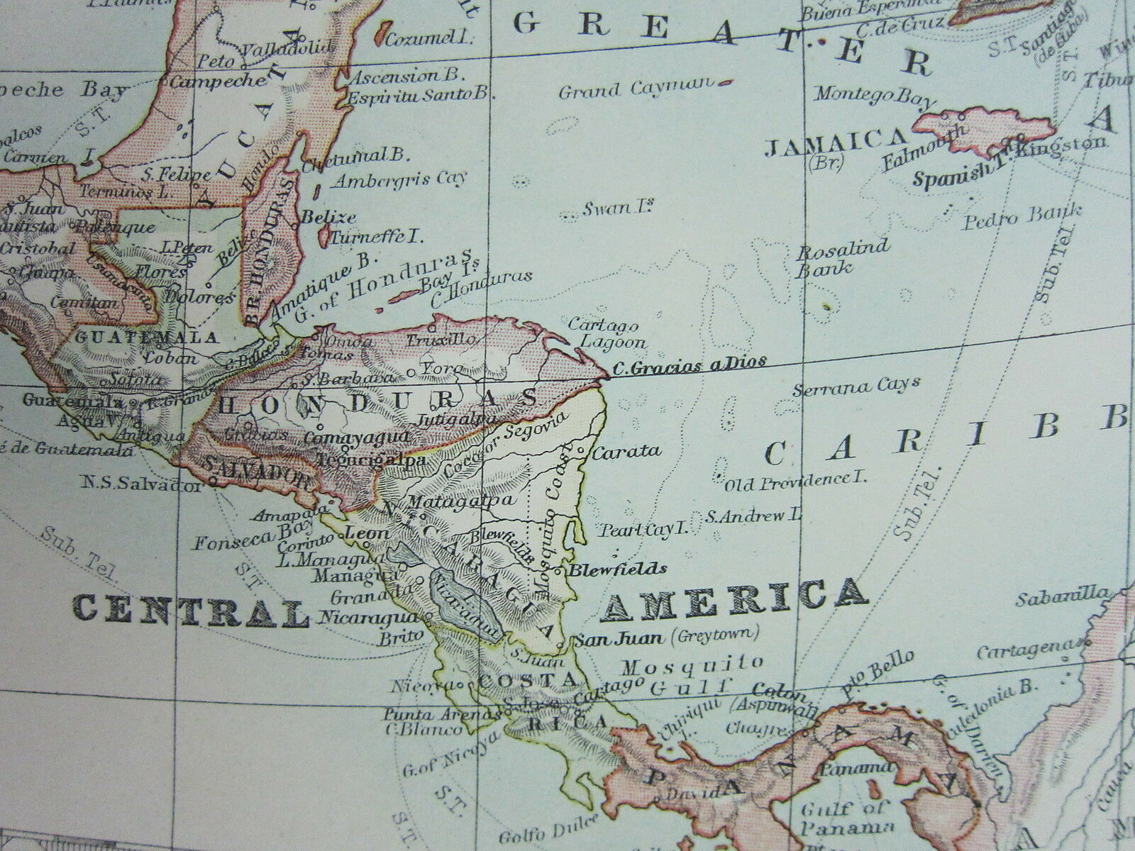
1910 MAP ~ NORTH AMERICA UNITED STATES DOMINION OF CANADA MEXIOC CENTRAL AMERICA
$ 63.94
- Description
- Size Guide
Description
Beautiful ANTIQUE MAP on quality paper in very good conditionKEITH JOHNSTON'S HANDY ROYAL ATLAS 1910
THIS MAP IS AN ORIGINAL - OVER 105 YEARS OLD
PRINTED ON THICK PAPER WITH VIBRANT OUTLINE COLOUR
"The Handy Royal Atlas Of Modern Geography Exhibiting The Present Condition Of Geographical Discovery
And Research In The Several Countries,
Empires And States Of The World by Keith Alexander Johnston."
This DOUBLE PAGE FOLD-OUT
map measures approximately
18 1/2 inches by 14 1/2 inches
(470mm x 370mm)
PLEASE VIEW IMAGE TO SEE HANDLING & AGE RELATED MARKS
The map is free from any text or image on the reverse
A superb map in very good condition
Please message with any questions regarding this item
BEST OFFERS PLEASE FOR A
QUICK SALE AT A FAIR PRICE
If you like the item, but do not like the price,
then make a realistic offer to us using the
MAKE OFFER BUTTON
Powered by
eBay Turbo Lister
Beautiful ANTIQUE MAP on quality paper in very good condition KEITH JOHNSTON'S HANDY ROYAL ATLAS 1910 THIS MAP IS AN ORIGINAL - OVER 105 YEARS OLD PRINTED ON THICK PAPER WITH VIBRANT OUTLINE COLOUR And Research In The Several Countries, Empires And States Of The World by Keith Alexander Johnston." This DOUBLE PAGE FOLD-OUT map measures approximately 18 1/2 inches by 14 1/2 inches (470mm x 370mm) PLEASE VIEW IMAGE TO SEE HANDLING & AGE RELATED MARKS The map is free from any text or image on the reverse A superb map in very good condition Please message with any questions regarding this item BEST OFFERS PLEASE FOR A QUICK SALE AT A FAIR PRICE If you like the item, but do not like the price, then make a realistic offer to us using the MAKE OFFER BUTTON
Beautiful ANTIQUE MAP on quality paper in very good condition KEITH JOHNSTON'S HANDY ROYAL ATLAS 1910 THIS MAP IS AN ORIGINAL - OVER 105 YEARS OLD PRINTED ON THICK PAPER WITH VIBRANT OUTLINE COLOUR And Research In The Several Countries, Empires And States Of The World by Keith Alexander Johnston." This DOUBLE PAGE FOLD-OUT map measures approximately 18 1/2 inches by 14 1/2 inches (470mm x 370mm) PLEASE VIEW IMAGE TO SEE HANDLING & AGE RELATED MARKS The map is free from any text or image on the reverse A superb map in very good condition Please message with any questions regarding this item BEST OFFERS PLEASE FOR A QUICK SALE AT A FAIR PRICE If you like the item, but do not like the price, then make a realistic offer to us using the MAKE OFFER BUTTON
Beautiful ANTIQUE MAP on quality paper in very good condition KEITH JOHNSTON'S HANDY ROYAL ATLAS 1910 THIS MAP IS AN ORIGINAL - OVER 105 YEARS OLD PRINTED ON THICK PAPER WITH VIBRANT OUTLINE COLOUR And Research In The Several Countries, Empires And States Of The World by Keith Alexander Johnston." This DOUBLE PAGE FOLD-OUT map measures approximately 18 1/2 inches by 14 1/2 inches (470mm x 370mm) PLEASE VIEW IMAGE TO SEE HANDLING & AGE RELATED MARKS The map is free from any text or image on the reverse A superb map in very good condition Please message with any questions regarding this item BEST OFFERS PLEASE FOR A QUICK SALE AT A FAIR PRICE If you like the item, but do not like the price, then make a realistic offer to us using the MAKE OFFER BUTTON
Beautiful ANTIQUE MAP on quality paper in very good condition KEITH JOHNSTON'S HANDY ROYAL ATLAS 1910 THIS MAP IS AN ORIGINAL - OVER 105 YEARS OLD PRINTED ON THICK PAPER WITH VIBRANT OUTLINE COLOUR And Research In The Several Countries, Empires And States Of The World by Keith Alexander Johnston." This DOUBLE PAGE FOLD-OUT map measures approximately 18 1/2 inches by 14 1/2 inches (470mm x 370mm) PLEASE VIEW IMAGE TO SEE HANDLING & AGE RELATED MARKS The map is free from any text or image on the reverse A superb map in very good condition Please message with any questions regarding this item BEST OFFERS PLEASE FOR A QUICK SALE AT A FAIR PRICE If you like the item, but do not like the price, then make a realistic offer to us using the MAKE OFFER BUTTON
Beautiful ANTIQUE MAP on quality paper in very good condition KEITH JOHNSTON'S HANDY ROYAL ATLAS 1910 THIS MAP IS AN ORIGINAL - OVER 105 YEARS OLD PRINTED ON THICK PAPER WITH VIBRANT OUTLINE COLOUR And Research In The Several Countries, Empires And States Of The World by Keith Alexander Johnston." This DOUBLE PAGE FOLD-OUT map measures approximately 18 1/2 inches by 14 1/2 inches (470mm x 370mm) PLEASE VIEW IMAGE TO SEE HANDLING & AGE RELATED MARKS The map is free from any text or image on the reverse A superb map in very good condition Please message with any questions regarding this item BEST OFFERS PLEASE FOR A QUICK SALE AT A FAIR PRICE If you like the item, but do not like the price, then make a realistic offer to us using the MAKE OFFER BUTTON


