-40%
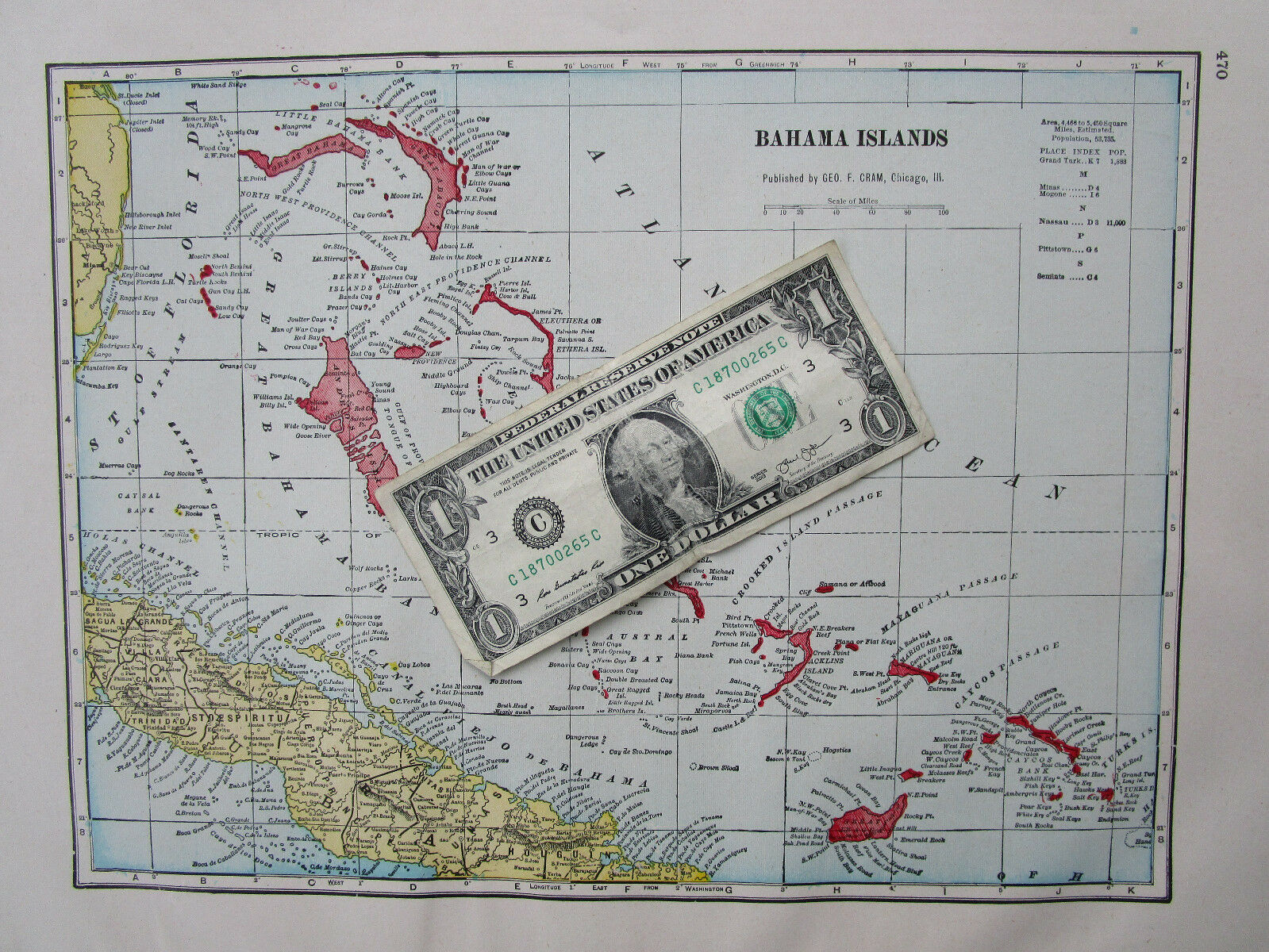
1910 BAHAMAS Map. 1900s Blue, Yellow, Maroon. Caribbean Islands.
$ 7.37
- Description
- Size Guide
Description
Combined shipping is offered in the shopping cart.Multiple payments will result in multiple shipments.
Genuine antique
map of the Bahamas in yellow, blue, and maroon.
Sourced from the 1910 Cram Standard American Railway System Atlas.
13 3/8
" wide x
10
" tall inside the border with margin beyond. Sheet size about 18 1/2" x 13". Pastel matte finish single page map. The other side is a partial map.
Overall fine. Zoom to inspect. You will receive this map.
Shipped rolled in a tube due to size.
More Caribbean maps here:
https://www.ebay.com/sch/m.html?_odkw=1910&_ssn=ancestorstocks&_sop=1&hash=item2ee0ae7454&item=201338025044&pt=LH_DefaultDomain_0&_osacat=0&_from=R40&_trksid=p2046732.m570.l1313.TR12.TRC2.A0.H0.Xcaribbean.TRS0&_nkw=caribbean&_sacat=0
INV: mmfitz.1910-1.cram.rwy.470


