-40%
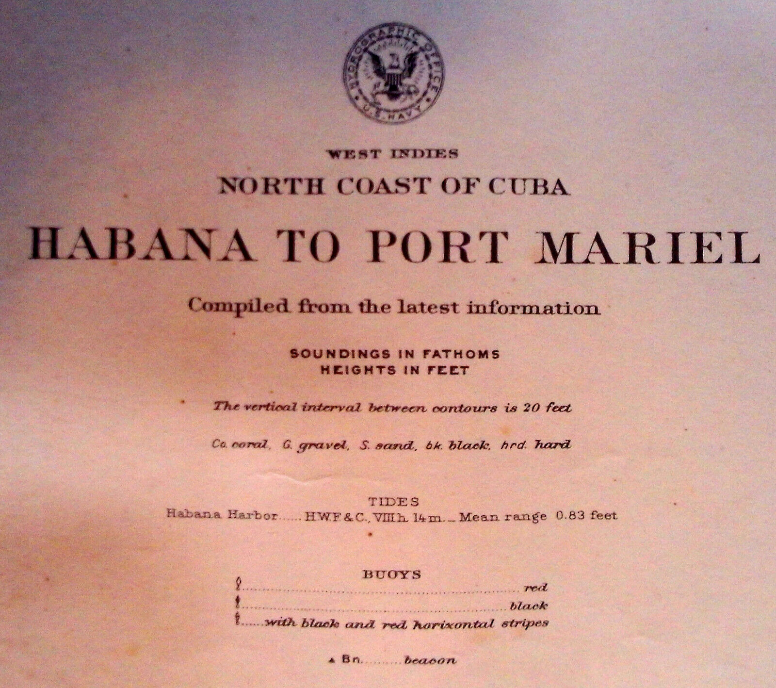
1906 Sea Chart Havana Cuba Caribbean Antique Map Coastal Sailing (1920)
$ 10.55
- Description
- Size Guide
Description
[ New Listing! ]Gallery 18 ...
is offering an original
antique sailing chart titled,
West Indies
North Coast of Cuba
Habana to Port Mariel.
The map was first published by the
U.S. Navy, Washington, DC,
February 1906.
This is the 5th edition
issued in January 1920,
and date-stamped February 1920.
This is a large chart measuring
26" x 36"
(66.0 x 91.4 cm)
to the outer neat line.
It has wide margins,
and is blank on the reverse.
The chart shows edge wear,
creasing, and minor staining
consistent with age and usage.
It has a vertical fold, as issued.
Overall, we rate the condition
as
fair
to
good
.
Buyer pays for shipping.
Contact Gallery 18 for a quote.
Gallery 18 is required to collect GST/HST
on all eBay sales within Canada.
Please contact Gallery 18
with any questions
before
bidding.


