-40%
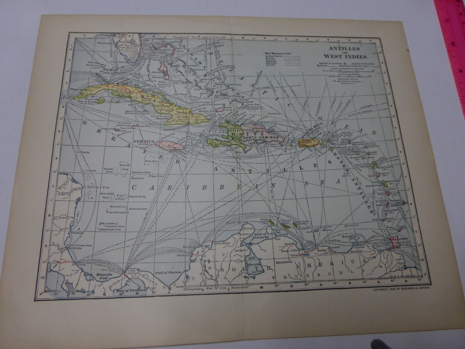
1902 Map of Antilles or West Indies - FREE SHIPPING
$ 10.56
- Description
- Size Guide
Description
Colored Maps removed from a 1904 set of encyclopedias by Dodd, Mead & Co. Copyright of map listed below. Photographed next to a 12” ruler for dimension. Paper is starting to yellow with age, but still crisp. There may be remnants from removal from the books as well as a crease for the double-paged maps. Now kept in an acid-free protective sheet.Shows bodies of water, county/province lines, geographical features like mountain, buttes, etc. One the reverse is a list of area & population by counties on the state maps. City maps include street names, parks and other features.
Free shipping. Suitable for framing.
Antilles or West Indies – 1902. Scale is 175 miles to one inch. Shows capitals of countries & counties, railroads, submarine telegraph lines and mail steamer lines.


