-40%
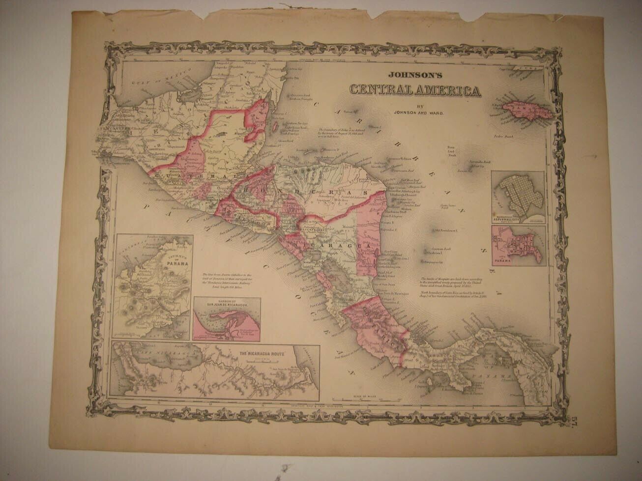
1900 Topographical Map Nicaragua Canal Route Brito Harbor Ft San Carlos
$ 15.28
- Description
- Size Guide
Description
Up for sale is this authentic (as in not a reproduction but an actual period chart) of a "Topographical Map of Territory Bordering the Nicaragua Canal Route." This was published by the Engineering News in their July 12, 1900 issue. It is blank on back. It is on medium weight paper. Please note that any red in the pictures are only digital and not on the original that you will receive.Please note that this was printed off a little bit on the page. If it looks a little crooked, that is because it is.
The overall size of the map is 14" by 10 1/4".
Please e-mail with any questions.
Thanks,
Kevin


