-40%
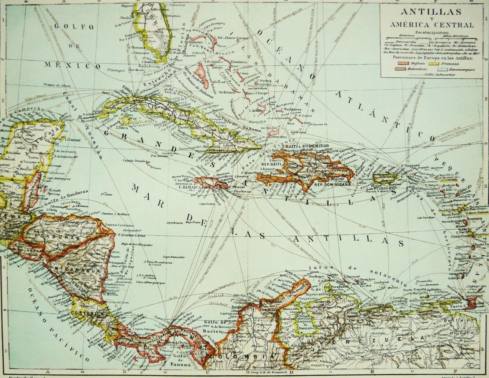
1900 Antique map: THE ANTILLES ISLAND. Jamaica, Puerto Rico, Cuba, Caribbean Sea
$ 7.39
- Description
- Size Guide
Description
1900 Antique map of THE ANTILLES ISLANDS. CENTRAL AMERICA. GEOGRAPHY. 120 years old printDESCRIPTION: This is an antique map of The Antilles Islands. Printed in Spain in 1900. Printed on good paper.
CONDITION: Very good
SIZE (in inch): 12.8" x 9.7" or 33 x 24,5 cm
AGE: 120 years. Victorian Era
Reverse side is blank
Ready for framing !
This is an original antique map from 1900, and not a modern reproduction !
"Antique Prints Only" sells only originals
Please note that all antique prints are subject to age toning due to use and time. But they are
marvellous!
The print is ready for framing, and it will be sent folded, as issued
Free shipping if the total value of your order exceeds 0
I do not charge shipping costs for additional items in the same order
THANKS FOR LOOKING !
Thank you for visiting my shop !
You can find here a fine selection of ANTIQUE and RARE PRINTS & ENGRAVINGS over 100, 200 and 300 years old, at very reasonable prices. For you, for your collection, or as a refined gift.
We have more tan 12 years of experience selling online Antique engravings, with more than fourteen thousand sales made successfully. Genuine Antique and original prints only, I don´t sell modern reproductions.
Please, take it easy and enjoy your visit !


