-40%
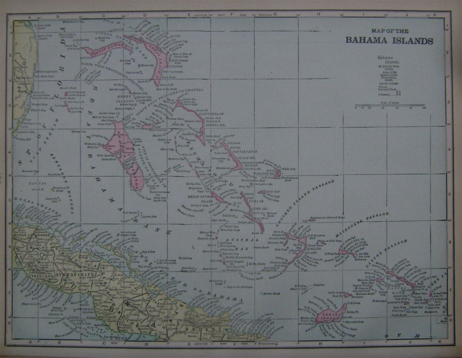
1899 Bahama Islands Color Atlas Map**... with Area & Population.. 121 years-old!
$ 5.78
- Description
- Size Guide
Description
1899 Bahama Islands Color Atlas Map**1899 Bahama Islands Color Atlas Map**
Click images to enlarge
Description
U.S. Buyer pays .00 for shipping. 1-4 maps can be combined to save on shipping.
PLEASE READ:
This is an original
undated 1899
atlas map. For the buyer
, I will enclose a copy of the dated 1899 copyright page to keep with their map.
I prefer satisfied customers and try to accurately describe all of my maps and Ebay items so there is not any misunderstandings...If you have any questions about this map or any of my Ebay items, Please email me before bidding...Thanks!!!
082219
B
ah99.2
(
c
)
Please Visit My Ebay Store To View My
Cuba,
Jamaica, Porto Rico, Panama Canal, West Indies, Bahamas, Bermuda and Other Vintage Maps. Thanks For Looking!
Get images that
make Supersized seem small.
Showcase your items with Auctiva's
Listing Templates!
THE simple solution for eBay sellers.
Track Page Views With
Auctiva's FREE Counter


