-40%
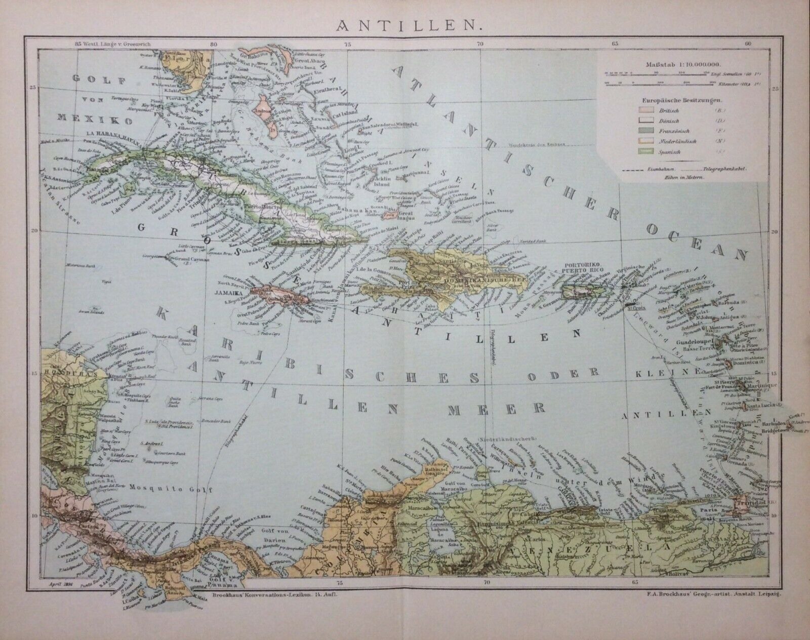
1896 ANTILLES Antique Dated Map, West Indies in the Caribbean Sea
$ 8.42
- Description
- Size Guide
Description
Double-page map of the ANTILLES, West Indies in the Caribbean Sea (dated).The overall size of the print: 12" x 9,6" (30,5 x 24,5 cm)
Printed in 1896, Leipzig Germany, as an illustration for "Brockhaus' Konversations Lexikon".
The print is in good condition, perfect for framing.
Please feel free to email us with any questions or request additional photos.
We ship by priority registered mail.
The print will be packaged and either dispatched flatpack between cardboars for protection. There is no additional postage charge when making multiple purchases, PLEASE ASK for combined invoice.
For delivery please allow 10-14 business days.


