-40%
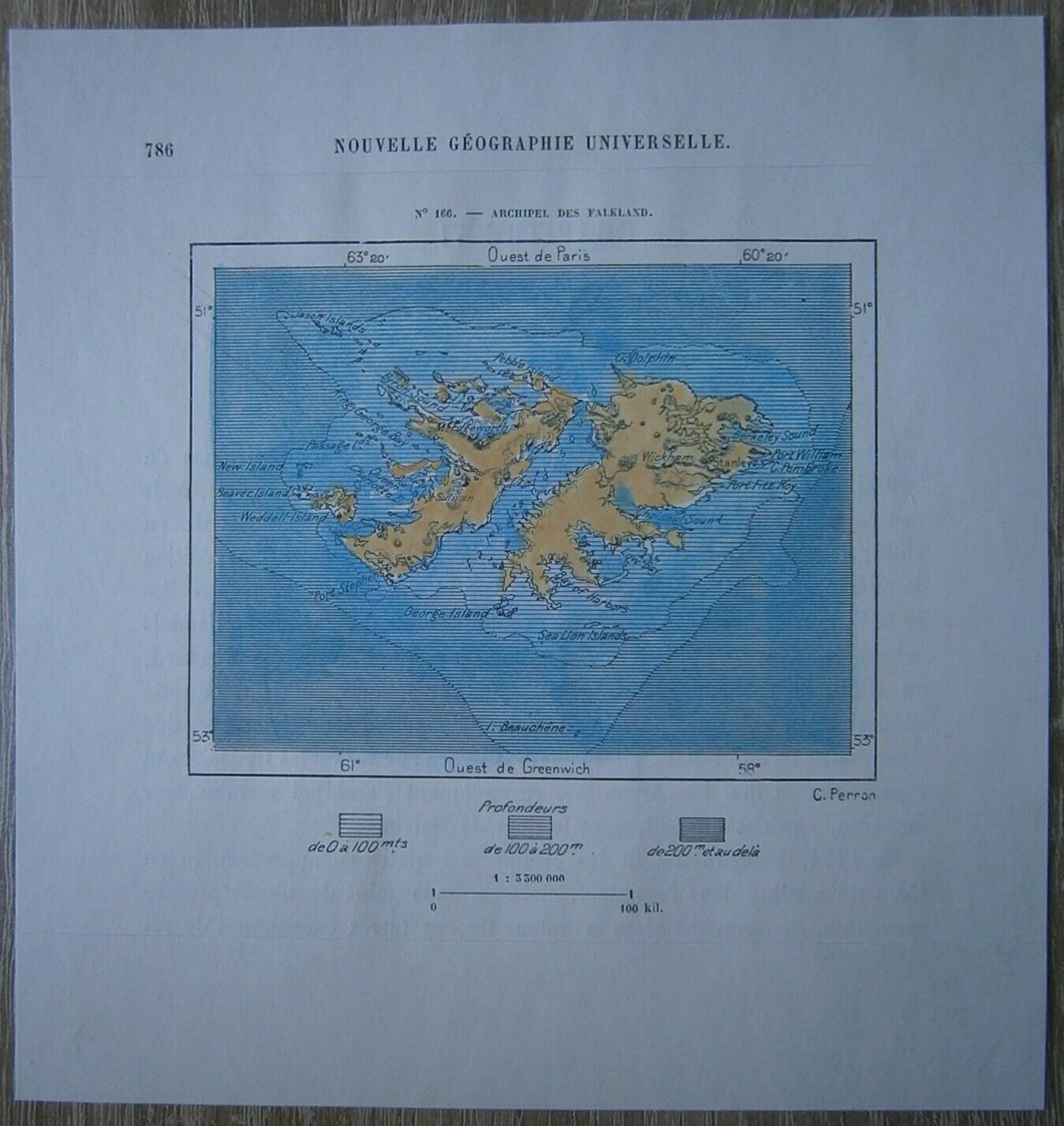
1894 Perron map FALKLAND ISLANDS (#166)
$ 10.53
- Description
- Size Guide
Description
Perron19_1661894 Perron map FALKLAND ISLANDS (#166)
Nice map titled
Archipel des Falkland,
from wood engraving with fine detail and clear impression, nice hand coloring. Overall size approx. 17 x 16 cm, image size approx. 10 x 8 cm. From
La Nouvelle Géographie universelle, la terre et les hommes
, 19 vol. (1875-94), great work of Elisee Reclus. Cartographer is Charles Perron.
Falkland Islands
also called Malvinas Islands , Spanish Islas Malvinas
internally self-governing overseas territory of the United Kingdom in the South Atlantic Ocean. It lies about 300 miles (480 km) northeast of the southern tip of South America and a similar distance east of the Strait of Magellan. The capital and only town is Stanley, on East Falkland, but there are several small, scattered settlements. In South America the islands are generally known as Islas Malvinas, because early French settlers had named them Malovines in 1764, after their home port of Saint-Malo, France. Area 4,700 square miles (12,200 square km). Pop. (2012, excluding British military personnel stationed on the islands) 2,563.


