-40%
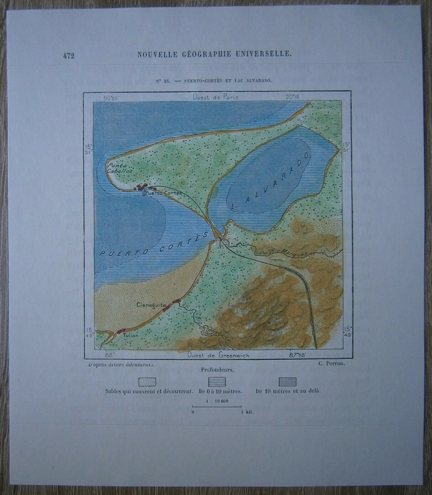
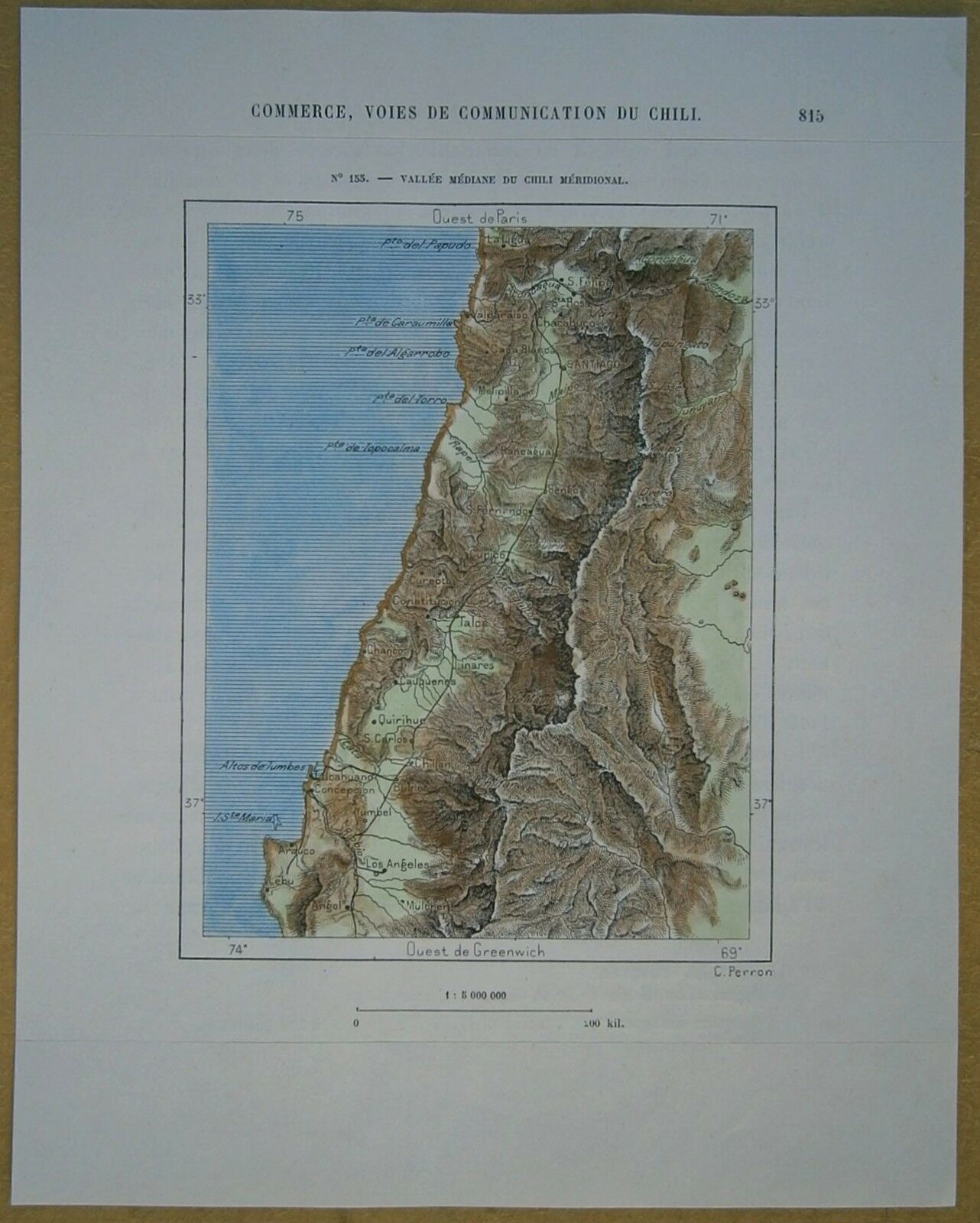
1893 Perron map TRINIDAD, LESSER ANTILLES (#19)
$ 10.55
- Description
- Size Guide
Description
Perron18_0191893 Perron map TRINIDAD, LESSER ANTILLES (#19)
Nice map titled
Trinidad,
from wood engraving with fine detail and clear impression, nice hand coloring. Overall size approx. 18 x 17 cm, image size approx. 11.5 x 10 cm. From
La Nouvelle Géographie universelle, la terre et les hommes
, 19 vol. (1875-94), great work of Elisee Reclus. Cartographer is Charles Perron.
Trinidad
Trinidad is the larger and more populous of the two major islands of Trinidad and Tobago. The island lies 11 km (6.8 mi) off the northeastern coast of Venezuela and sits on the continental shelf of South America. Though geographically part of the South American continent, from a socio-economic standpoint it is often referred to as the southernmost island in the Caribbean. With an area of 4,768 km2 (1,841 sq mi), it is also the fifth largest in the West Indies.
The original name for the island in the Arawaks' language was Iëre which meant "Land of the Hummingbird". Christopher Columbus renamed it "La Isla de la Trinidad" ("The Island of the Trinity"), fulfilling a vow he had made before setting out on his third voyage. This has since been shortened to Trinidad.
Caribs and Arawaks lived in Trinidad long before Christopher Columbus encountered the islands on his third voyage in 1498. The island remained Spanish until 1797, but it was largely settled by French colonists from the French Caribbean, especially Martinique. In 1889 the two islands became a single British Crown colony. Trinidad and Tobago obtained self-governance in 1958 and independence from the United Kingdom in 1962.
Major landforms include the hills of the Northern, Central and Southern Ranges (Dinah ranges), the Caroni, Nariva and Oropouche Swamps, and the Caroni and Naparima Plains. Major river systems include the Caroni, North and South Oropouche and Ortoire Rivers. There are many other natural landforms such as beaches and waterfalls. Trinidad has two seasons per calendar year: the rainy season and the dry season. El Cerro del Aripo, at 940 metres (3,084 ft), is the highest point in Trinidad. It is part of the Aripo Massif and is located in the Northern Range on the island, northeast of the town of Arima.


